Weather
Heat Timeline To 'Feels Like' 105 Degrees: MD Weather
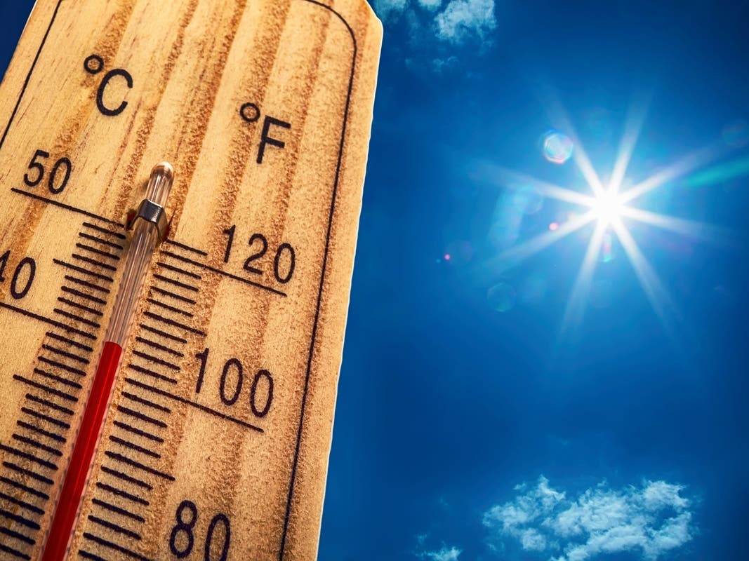
Parts of Maryland are under a heat advisory and an air quality alert. See when it will feel like 105 degrees on Thursday.


MARYLAND — Much of Maryland is under a heat advisory and an air quality alert as scorching heat and humidity will make it feel like 105 degrees on Thursday.
The National Weather Service said the heat advisory is in effect until 8 p.m. for Baltimore, Prince George's, Anne Arundel, Charles, St. Marys, Calvert, Montgomery, Howard and Harford counties.
That includes the cities of Eldersburg, Westminster, Reisterstown, Cockeysville, Elkton, Baltimore, Bowie, Suitland-Silver Hill, Clinton, College Park, Greenbelt, Laurel, Glen Burnie, Annapolis, Severn, South Gate, Severna Park, Arnold, Odenton, St. Charles, Waldorf, Chesapeake Beach, Bethesda, Rockville, Gaithersburg, Silver Spring, Lisbon, Columbia, Ellicott City, Jarrettsville and Aberdeen.
Find out what's happening in Across Marylandfor free with the latest updates from Patch.
Here's a timeline of the "feels like" temperature throughout the afternoon:
- 1 p.m.: 104 degrees
- 2 p.m.: 105 degrees
- 3 p.m.: 105 degrees
- 4 p.m.: 103 degrees
- 5 p.m.: 103 degrees
- 6 p.m.: 99 degrees
- 7 p.m.: 100 degrees
- 8 p.m.: 94 degrees
Chances for showers and thunderstorms are in the forecast through Sunday, which will knock high temps down into the low 90s and bring some relief to the state, the NWS said.
Find out what's happening in Across Marylandfor free with the latest updates from Patch.
Heat advisories were in place from Virginia to Maine on Thursday, including Washington, D.C., Philadelphia, Boston, and Providence, Rhode Island, as well as places farther inland, like Burlington, Vermont, and Scranton, Pennsylvania, AccuWeather reported.
"Even in places where records are not tied or broken or the thermometer does not get to the triple digits, AccuWeather RealFeel® Temperature will exceed 100 F in many locations outside of the mountains and away from the immediate coast," AccuWeather said.
Hot temperatures and high humidity may cause heat illnesses, the National Weather Service warned. Marylanders should drink plenty of fluids, stay in an air-conditioned room, stay out of the sun, and check on relatives and neighbors. Children and pets should not be left unattended in vehicles under any circumstances.
The Maryland Department of the Environment has issued a Code Orange Air Quality Alert Thursday for the Baltimore City metro and Annapolis region.
The alert means that air pollution concentrations within the region may become unhealthy for
sensitive groups. Sensitive groups include children, people suffering from asthma, heart disease or other lung diseases and the elderly. The effects of air pollution can be minimized by avoiding strenuous activity or exercise outdoors.
For more information, visit the department's website.
Thursday’s heat spike is likely to be worse in New England and upstate New York, when compared to the mid-Atlantic, AccuWeather.com said. Washington, D.C., peaked at 99 degrees for the year to date on July 24 and 17. The capitol could approach that mark on Thursday.
"In the coastal mid-Atlantic, where the air will be the most humid, RealFeel Temperatures may range between 105 and 110 for a few hours" on Thursday, AccuWeather predicts.
Here's the latest Maryland forecast from the National Weather Service:
Thursday: Isolated showers and thunderstorms after 2pm. Mostly sunny and hot, with a high near 97. Heat index values as high as 105. South wind 5 to 7 mph. Chance of precipitation is 20%.
Thursday Night: Scattered showers and thunderstorms, mainly before midnight. Mostly cloudy, with a low around 76. Southwest wind around 6 mph becoming calm in the evening. Chance of precipitation is 40%.
Friday: A slight chance of showers and thunderstorms before 2pm, then showers likely and possibly a thunderstorm between 2pm and 5pm, then showers and thunderstorms likely after 5pm. Partly sunny, with a high near 91. Heat index values as high as 101. Calm wind becoming south 5 to 7 mph in the afternoon. Chance of precipitation is 60%. New rainfall amounts between a quarter and half of an inch possible.
Friday Night: Showers and thunderstorms likely, mainly before 8pm. Mostly cloudy, with a low around 75. South wind around 5 mph becoming calm in the evening. Chance of precipitation is 60%. New rainfall amounts between a half and three quarters of an inch possible.
Saturday: A slight chance of showers, then a chance of showers and thunderstorms after 11am. Partly sunny, with a high near 90. Calm wind becoming south 5 to 7 mph in the afternoon. Chance of precipitation is 50%.
Saturday Night: A chance of showers and thunderstorms before 2am. Mostly cloudy, with a low around 75. Chance of precipitation is 30%.
Sunday: A chance of showers and thunderstorms after 2pm. Mostly sunny, with a high near 92. Chance of precipitation is 30%.
Sunday Night: A chance of showers and thunderstorms before 8pm. Partly cloudy, with a low around 75. Chance of precipitation is 30%.
Monday: A chance of showers and thunderstorms after 2pm. Mostly sunny, with a high near 93. Chance of precipitation is 30%.
Get more local news delivered straight to your inbox. Sign up for free Patch newsletters and alerts.