Weather
MD Hurricane Forecast: Quiet Start To Season, How Many Storms Likely
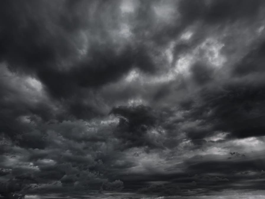
The 2022 hurricane season may be quieter than federal officials initially projected. But Marylanders should be prepared for named storms.

MARYLAND — The 2022 Atlantic hurricane season could end up quieter than initial projections, although still expected to produce more than a dozen named storms, according to officials in an updated forecast.
The development bodes well for Maryland, but that doesn't mean the state is in the clear.
The National Oceanic and Atmospheric Administration predicted an "above-average" Atlantic hurricane season in late May. The agency originally projected a 65 percent chance for above-normal activity but reduced the probability to 60 percent last week.
Find out what's happening in Across Marylandfor free with the latest updates from Patch.
Related: 2022 Hurricane Names List Released For Atlantic Season
So far, this season, which kicked off June 1 and runs through Nov. 30, has seen three named tropical storms — Alex, Bonnie and Colin.
Find out what's happening in Across Marylandfor free with the latest updates from Patch.
Major hurricanes are category 3, 4 and 5 storms on the Saffir/Simpson scale. They have maximum sustained winds of at least 111 mph.
NOAA's new projections for the current hurricane season could mean a better chance that Maryland makes it through the year without a damaging tropical storm. But that's not a guarantee.
Tropical Storm Isaias in August 2020 brought flooding and some wind damage to the Ocean City area, while Hurricane Dorian in September 2019 brought minor flooding and heavy storm surge to the same area.
"While the tropics have been relatively quiet over the last month, remember that it only takes one landfalling storm to devastate a community," said Matthew Rosencrans, NOAA's lead hurricane forecaster. "This is especially critical as we head into what the team here anticipates is likely to be a busy peak of the season."
How Hurricane Projections Have Changed
The Atlantic hurricane season peaks from mid-August to mid-October. Originally, federal officials projected a 65 percent chance of an above-normal season, a 25 percent chance of near-normal hurricane activity and a 10 percent chance of a "below-normal" season.
Saharan dust traveling across the Atlantic has prevented much hurricane development so far, according to Fox Weather. The dry, dusty air, which makes its way across the ocean each year, is known for suppressing the formation of hurricanes.
The waters won't stay quiet for long, Colorado State University said in a news release. With La Niña causing slightly warmer-than-normal waters in the Atlantic and Caribbean, forecasters at the university said this will fuel the development of storms. At the same time, sea surface temperatures are just slightly above normal, which should be a neutral factor in how the remainder of the season developers, they added.
Other atmospheric and oceanic conditions increasing the likelihood of storm development for the remainder of the hurricane season include weaker tropical Atlantic trade winds and an active west African Monsoon, NOAA said.
NOAA's new 2022 Atlantic hurricane season update calls for 14 to 20 named storms with winds of 39 mph or higher. Of these, six to 10 could become hurricanes with winds 74 mph or greater, while three to five could become major hurricanes with winds of 111 mph or greater.
Colorado State University, which pioneered hurricane-season forecasts, also tamped down its predictions from April. The school now predicts 18 named storms, instead of 19, with eight becoming hurricanes — down from nine.
Of these 18 predicted storms, CSU researchers expect eight to become hurricanes and four to reach major hurricane strength with winds of 111 mph or greater.
"I don't think the season is going to be a dud, but it's taking its sweet time getting going," said hurricane researcher Phil Klotzbach, who leads the university's forecast team.
"Although it has been a relatively slow start to hurricane season, with no major storms developing in the Atlantic, this is not unusual and we therefore cannot afford to let our guard down," FEMA Administrator Deanne Criswell added. "This is especially important as we enter peak hurricane season — the next Ida or Sandy could still be lying in wait."
Hurricane Preparation Tips
Residents should take these safety precautions before a storm heads toward Maryland:
- Sign up for alerts and warnings from your county and state, as well as NOAA Weather Radio https://www.weather.gov/nwr/
- Make a plan - visit https://www.ready.gov/plan
- Plan with neighbors - communities are more resilient when they work together. See Guide to Emergency Planning for Communities
- Know hurricane evacuation zones - visit KnowYourZoneMD
- Save for a rainy day - visit https://www.ready.gov/financial-preparedness
- Practice emergency drills both at home and at the office
- Make and test a family communications plan* Designate a central contact number with a family member or trusted friend, perhaps out of town* Text messages will go through when voice lines are overloaded
- Assemble or update emergency supplies - visit https://www.ready.gov/kit (includes CDC recommendations)
- Safeguard valuable documents both physically and digitally
- Make your home safer - visit https://www.weather.gov/wrn/2020-hurricane-strengthen-home
- Document and insure your property - visit https://www.weather.gov/wrn/2020-hurricane-insurance
- Get involved in your community - take an emergency course, volunteer, request a preparedness presentation
- Download the FEMA app and visit Ready.gov or Listo.gov for preparedness tips.
Maryland Hurricane History
To find out more about hurricane season and storm preparation, read these related Patch stories:
Maryland has been spared "the big one" on most occasions, but for roughly 60 years, named hurricanes have battered our water-oriented state, altering our lifestyles and our history.
Hurricanes Connie and Diane pounded Maryland in October 1955. Just days apart in their torture on the East Coast, the storms caused widespread flooding. Connie essentially came right up the Bay.
Meanwhile, Diane came on land near the Carolina border and turned east to pass over northern Maryland before going back out to sea.
More recently, Hurricane Sandy in October of 2012 made landfall just north of the upper Chesapeake Bay region, and destroyed the Ocean City fishing pier. From there it went on to devastate oceanfront areas of New Jersey and New York.
Get more local news delivered straight to your inbox. Sign up for free Patch newsletters and alerts.