Weather
Ophelia Remnants In MD To Bring Rain, Coastal Flooding: NWS
The remnants of Ophelia are moving out of Maryland Sunday, with another 1 to 2 inches of rain forecast in the Baltimore region, NWS said.

MARYLAND — The remnants of former Tropical Storm Ophelia are moving north out of Maryland Sunday, with another 1 to 2 inches of rain forecast in the Baltimore region. Coastal flooding is possible in Anne Arundel and Baltimore counties, and about 3,000 people in the state are without power.
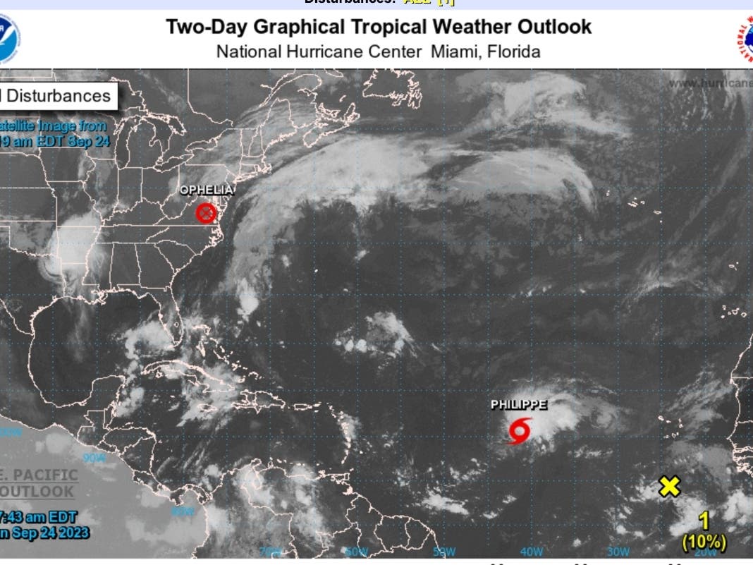
At 5 a.m., the center of post-Tropical Cyclone Ophelia was located about 85 miles south of Washington, D.C. The storm had maximum sustained winds of 25 mph with higher gusts and was moving north-northeast at 12 mph.
Wind and flood advisories have expired, although a coastal flood warning is in effect until 6 p.m. for Baltimore, Anne Arundel and St. Mary's counties until 5 p.m. Up to one half foot of inundation above ground level in low-lying areas due to tidal flooding is expected in southern Baltimore County and the city of Baltimore. Tides 2 to 2.5 feet above normal are forecast.
Find out what's happening in Baltimorefor free with the latest updates from Patch.
The most power outages are reported in Anne Arundel County, where 1,257 customers were without power at 9:30 a.m. Sunday, according to PowerOutage.US.
Organizers of Artscape in Baltimore, which was canceled on Saturday, said festivities are back on from noon to 5 p.m. Sunday.
Find out what's happening in Baltimorefor free with the latest updates from Patch.
While the storm moves on, it won't be great beach weather on the Eastern Shore. "Swells generated by Ophelia will continue to affect much of the East Coast of the United States through today," the NWS said. "These swells are likely to cause life-threatening surf and rip current conditions."
The weather this week will feel more like fall, with daily high temperatures in the upper 60s through Wednesday before inching into the low 70s at the end of the week.
Here's the latest Maryland forecast:
Sunday: Rain, mainly before 11am. High near 69. East wind 6 to 10 mph becoming southwest in the afternoon. Chance of precipitation is 80%. New precipitation amounts between a quarter and half of an inch possible.
Sunday Night: A chance of rain before 8pm, then a slight chance of showers after 8pm. Mostly cloudy, with a low around 60. Northwest wind around 7 mph. Chance of precipitation is 30%.
Monday: A slight chance of showers after 2pm. Cloudy, with a high near 69. North wind 8 to 10 mph. Chance of precipitation is 20%.
Monday Night: A chance of showers, mainly after 8pm. Cloudy, with a low around 58. Northeast wind 11 to 13 mph, with gusts as high as 18 mph. Chance of precipitation is 40%.
Tuesday: A slight chance of showers. Mostly cloudy, with a high near 68. Northeast wind around 14 mph, with gusts as high as 20 mph. Chance of precipitation is 20%.
Tuesday Night: A slight chance of showers before 2am. Mostly cloudy, with a low around 56. Chance of precipitation is 20%.
Wednesday: Partly sunny, with a high near 68.
Get more local news delivered straight to your inbox. Sign up for free Patch newsletters and alerts.