Weather
Flood Watch Issued For Maryland, Brace For Relentless Rain
The Baltimore-Washington region will be under a flood watch this weekend, with 2 to 3 inches of rain possible, forecasters say.

BALTIMORE, MD — Get ready for a warm-up this weekend, but the weather won't be that enjoyable. Plan on round after round of rain, enough that the National Weather Service has issued a flood watch for most of Maryland, along with a hazardous weather outlook, saying a prolonged period of heavy rain will overspread the region through Sunday night.
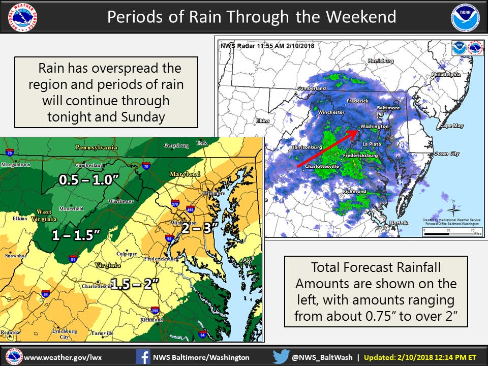
Rain has overspread the region and periods of rain will affect the region through the remainder of the weekend. Some locations will see in excess of 2 inches of rain, forecasters say. The flood watch takes effect at 7 p.m. Saturday and will be in place until midnight on Sunday.
The NWS says low-lying flooding is likely where the heaviest rain occurs. In addition, rainfall amounts may result in flooding on area streams, creeks, and rivers by late Sunday.
Find out what's happening in Dundalkfor free with the latest updates from Patch.
A slow moving front will lead to multiple rounds of moderate to heavy rainfall from this evening through Sunday evening. Widespread rainfall amounts of 1.5 to 2 inches are likely, with localized amounts up to 3 inches possible.
Areas included in the flood watch are: the city of Baltimore, Washington, D.C., plus Carroll, Baltimore, Prince George's, Anne Arundel, Charles, Montgomery, Howard, and Harford counties.
Find out what's happening in Dundalkfor free with the latest updates from Patch.
Cities in the watch include Frederick, Eldersburg, Westminster, Reisterstown, Cockeysville, Baltimore, Bowie, Suitland-Silver Hill, Clinton, College Park, Greenbelt, Laurel, Glen Burnie, Annapolis, Severn, South Gate,
Severna Park, Arnold, Odenton, Germantown, Damascus, Bethesda, Rockville, Gaithersburg, Silver Spring, Columbia, Ellicott City, Jarrettsville, and Aberdeen.
Airport delays related to poor visibility are possible in Atlanta, Charlotte, North Carolina, Washington, D.C., Baltimore, Philadelphia, New Jersey, New York City and Boston, especially from later Saturday through Sunday, according to AccuWeather.
Here's the latest forecast:
Saturday Afternoon: Rain, mainly before 5pm. Patchy fog. High near 49. Chance of precipitation is 90%. New precipitation amounts between a quarter and half of an inch possible.
Saturday Night: Rain, mainly after 7pm. The rain could be heavy at times. Patchy fog. Low around 46. Chance of precipitation is 100%. New precipitation amounts between 1 and 2 inches possible.
Sunday: Rain before 1pm, then showers likely after 1pm. The rain could be heavy at times. Patchy fog. High near 59. Chance of precipitation is 100%. New precipitation amounts between a half and three quarters of an inch possible.
Sunday Night: Showers likely, mainly before 1am. Patchy fog before 1am. Otherwise, cloudy, with a low around 42. Southwest wind 5 to 10 mph becoming northwest after midnight. Chance of precipitation is 70%. New precipitation amounts between a tenth and quarter of an inch possible.
Monday: A chance of showers, mainly before 1pm. Mostly cloudy, with a high near 46. North wind 7 to 11 mph. Chance of precipitation is 40%.
Monday Night: Partly cloudy, with a low around 30.
Tuesday: A chance of rain or freezing rain. Partly sunny, with a high near 40. Chance of precipitation is 30%.
Tuesday Night: A chance of rain. Mostly cloudy, with a low around 35. Chance of precipitation is 30%.
Wednesday: Partly sunny, with a high near 54.
Wednesday Night: A chance of rain. Mostly cloudy, with a low around 43. Chance of precipitation is 30%.
Thursday: A chance of rain. Partly sunny, with a high near 60. Chance of precipitation is 30%.
Thursday Night: A chance of rain. Mostly cloudy, with a low around 37. Chance of precipitation is 40%.
Friday: Partly sunny, with a high near 47.
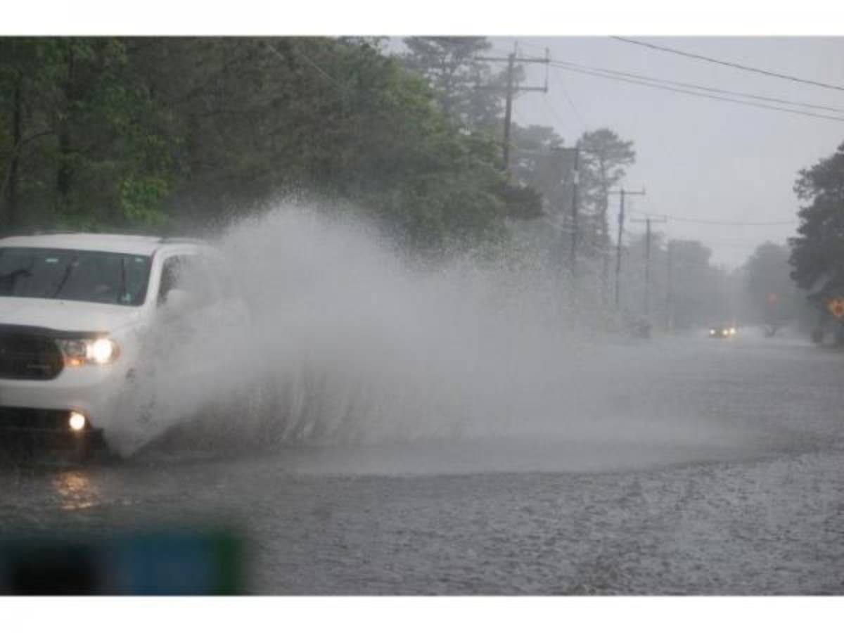
Image via Shutterstock
Get more local news delivered straight to your inbox. Sign up for free Patch newsletters and alerts.


