Weather
Tucson Excessive Heat Warning: 4th Of July Weekend Forecast
The National Weather Service has issued an excessive heat warning for Tucson that remains in effect through Friday afternoon.

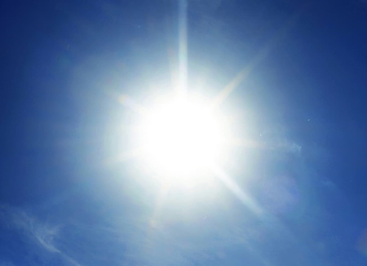
TUCSON, AZ — An excessive heat warning remains in effect in Tucson through Friday afternoon. Thursday’s daytime temperatures were expected to hit 108, and highs over 100 are forecast through the remainder of the Fourth of July weekend. During an excessive heat warning — especially in the afternoon hours — conditions like heat stroke and heat exhaustion can be fatal, the National Weather Service said.
Particularly vulnerable are people who work outdoors, the agency said. Those people are advised to drink plenty of water before they’re thirsty, apply and reapply sunscreen and limit their time outdoors to the early morning or evening hours.
If at all possible, stay inside in the air conditioning or go to a public place with air conditioning, like libraries, community centers and shopping malls, the Weather Service said.
Find out what's happening in Tucsonfor free with the latest updates from Patch.
Several Tucson cooling centers are open, many of them offering snacks and water. Some serve women only. (Get Tucson Patch’s real-time news alerts and free morning newsletters. Like us on Facebook. Also, download the free Patch iPhone app or free Patch Android app.)
The excessive heat warning was issued not only for Tucson, but also for Phoenix, Casa Grande, Tucson, Gila Bend and Yuma in southwestern Arizona and Blythe, Coachella, Indio and Palm Springs in California.
Find out what's happening in Tucsonfor free with the latest updates from Patch.
By the middle of next week, temperatures in the Tucson area should be below 100, the National Weather Service said. Here’s the forecast through the remainder of the Fourth of July weekend:
Thursday night: Isolated showers and thunderstorms before 11 p.m.; partly cloudy, with a low around 83; breezy, with an east-southeast wind 13 to 18 mph increasing to 20 to 25 mph after midnight. Winds could gust as high as 37 mph; chance of precipitation is 10 percent.
Friday and Friday night: Mostly sunny with a high near 104; breezy with an east-southeast wind 21 to 25 mph, with gusts as high as 37 mph. Mostly clear overnight with a low around 81 and east-southeast wind 11 to 16 mph.
Saturday and Saturday night: Isolated showers and thunderstorms after 11 a.m., then mostly sunny and hot, with a high near 105; east-southeast wind 8 to 14 mph; chance of precipitation is 10 percent. Partly cloudy with a 20 percent chance of isolated showers and thunderstorms overnight, low around 80.
Sunday and Sunday night: Mostly sunny, with a high near 102, with a 20 percent chance of isolated showers and thunderstorms, increasing to 40 percent overnight, with a low around 79.
Photo via Shutterstock
Get more local news delivered straight to your inbox. Sign up for free Patch newsletters and alerts.