Weather
Kelvin Wave Reaches Bay Area, Raises Sea To Record Levels: What To Know
Water levels in San Francisco reached an October record as scientists track an underwater wave that could amplify coastal flooding.


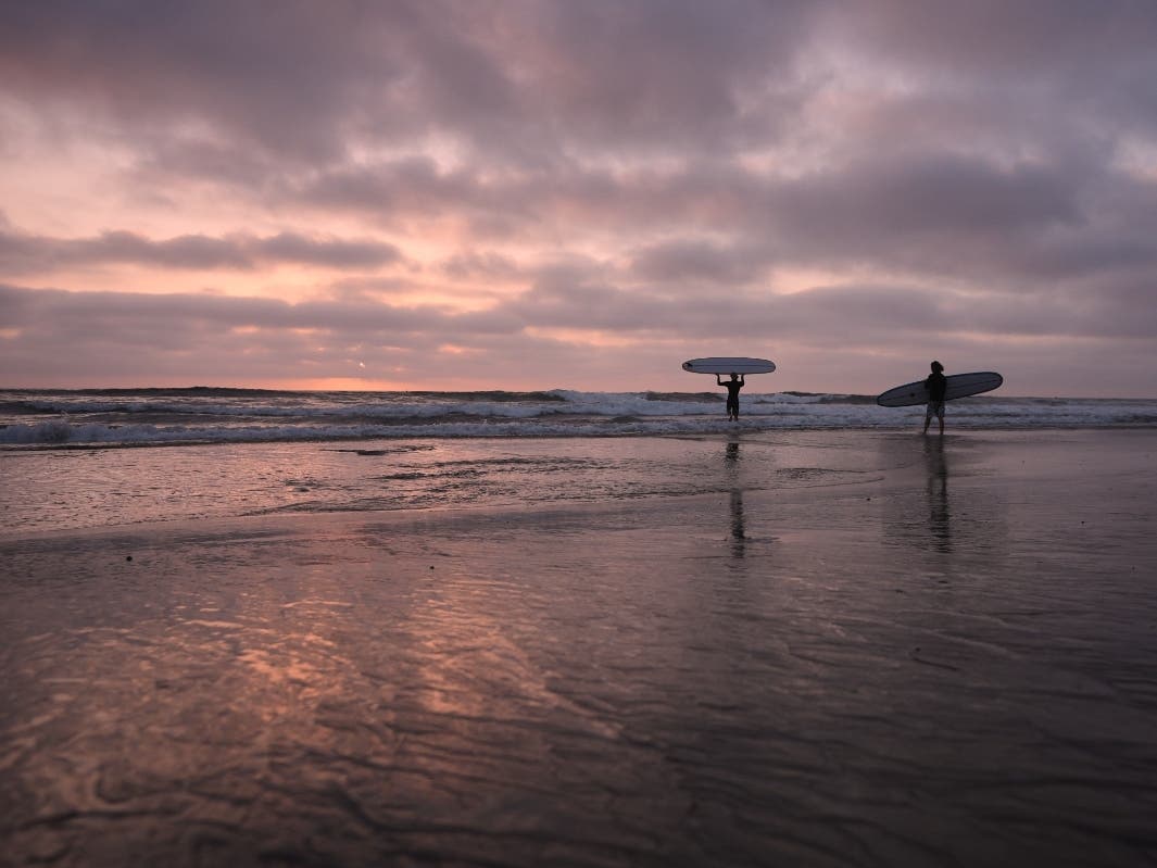
SAN FRANCISCO, CA — An underwater wave linked to this year’s powerful El Niño reached San Francisco Bay this week, potentially contributing to unusually high tides and localized flooding along the Bay Area shoreline, according to ocean researchers and the National Weather Service.
The phenomenon, known as a Kelvin wave, can raise sea levels across broad stretches of coastline. Water levels in San Francisco climbed above normal over the past two weeks, peaking Sunday at roughly 1.73 feet above tide predictions, according to the National Weather Service.
The weekend's high tides broke the record for October, which was previously 1.4 feet above normal, but on Saturday water levels reached 1.62 feet above the normal highest daily tide and on Sunday it reached that 1.73 mark, according to The San Francisco Chronicle.
Find out what's happening in Across Californiafor free with the latest updates from Patch.
The National Weather Service attributed the elevated water levels to several factors, including the Kelvin wave, warmer ocean water expanding as it heats, a persistent marine heat wave, climate change and lingering effects from distant storms.
The water-level anomaly began easing by Monday, potentially as storm-driven swells subsided. But forecasters are also watching for the year’s highest tides, known as king tides, which are expected around Thanksgiving and Christmas.
Find out what's happening in Across Californiafor free with the latest updates from Patch.
How A Kelvin Wave Works
Unlike waves that crash onto a beach, a Kelvin wave travels through the ocean, temporarily raising the sea surface. These waves can develop during El Niño when tropical Pacific winds weaken or reverse, pushing warm water eastward toward the Americas.
According to the National Oceanic and Atmospheric Administration, these waves are associated with El Niño. After reaching the Americas, the disturbances can travel north along the coast, elevating background sea levels along the way.
Dillon Amaya, an assistant professor of marine, earth and atmospheric sciences at North Carolina State University who tracks the waves, said in an earlier interview with Patch that the wave reached Southern California about a week ago and has now arrived in the Bay Area.
“It's been harder to see because of noise introduced by the recent tropical storms,” Amaya told Patch in an email.
Amaya’s coastal wave tracking data shows the disturbance moving along the West Coast. The current wave is the second major Kelvin wave associated with this El Niño to reach California waters.
"I would expect another 3-4 Kelvin waves over the next several months," Amaya said. "There is already another wave along the Mexican coastline and it should reach U.S. coastal waters in the next few weeks."
Why Bay Area Residents Should Pay Attention
A Kelvin wave does not arrive as a single breaking wave and does not cause flooding on its own. Instead, it raises the baseline water level, potentially allowing ordinary high tides, storm swells and waves to reach farther inland.
As NOAA Fisheries research oceanographer Michael Jacox said, “It's not that this Kelvin wave is going to come and flood anything on its own.”
The concern is what happens when additional water from storms, high tides or large swells arrives on top of that elevated baseline.
The Bay Area has already experienced unusually high tides and coastal flooding. The National Weather Service issued coastal flood advisories for low-lying areas around San Francisco and Monterey bays, warning that water could inundate roads, parks and coastal trails. Forecasts for Oct. 10 through 13 included tides up to about 1.4 feet above normal at the San Francisco gauge, with additional surge increasing the flooding threat.
The elevated water levels have also affected areas beyond the Bay Area. In Southern California, powerful surf and high tides have contributed to flooding and erosion concerns in Long Beach and Newport Beach. Officials have reported damage to coastal structures and protective barriers, though the damage has not been conclusively attributed to the Kelvin wave.
Scientists warn that higher background sea levels can magnify the effects of large swells and storms, especially in places where beaches have eroded or shorelines are already vulnerable.
More Waves Could Be On The Way
Amaya expects another three or four Kelvin waves over the coming months, with one already moving along Mexico’s coastline and potentially reaching U.S. coastal waters within weeks.
The waves could overlap with the winter storm season, when powerful swells and seasonal high tides increase the risk of erosion and flooding.
Major El Niño events in 1982-83, 1997-98 and 2015-16 were associated with severe beach erosion along the West Coast, according to the supplied reporting. The loss of protective beaches can increase wave impacts and coastal flooding affecting property and infrastructure.
The National Weather Service is monitoring coastal conditions as seasonal high tides approach. Residents in low-lying areas should follow local advisories, avoid flooded roads and shoreline hazards, and monitor National Weather Service forecasts for updates.
The Kelvin wave itself may pass almost unnoticed. Its significance is that it can leave the ocean higher than it otherwise would be, giving the next high tide, storm or large swell less room before water reaches vulnerable areas.
The Associated Press contributed to this report.
More Articles:
Get more local news delivered straight to your inbox. Sign up for free Patch newsletters and alerts.