Health & Fitness
Storm System Slated for Wednesday Across the Area
Been tracking a storm pattern for over a week and statements are finally going out on it as details become clear, having an impact on Wednesday of this week.
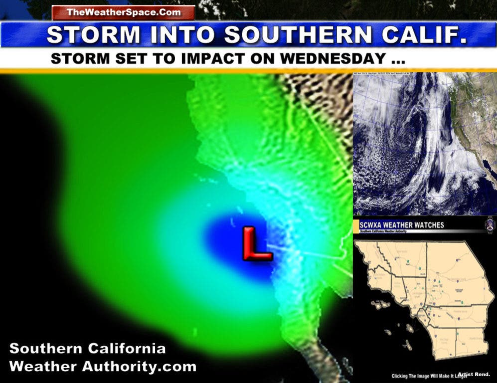
A storm system has been analyzed, with a final result being an impact on Southern California on Wednesday with heavy rain and thunderstorms.
The upper level divergence dynamics will warrant adding in a chance of thunderstorms into the forecast grid, but those are smaller scale events so they will be sorted with time.
The storm will be dipping further south, then curving in after the middle part of this next week. This south dip will bring warmer southerly flow into the area for higher snow levels with the system, rather than the low type ... so am expecting higher snow levels, more seasonal levels for the largest part of the front.
The cold air aloft is going to be crucial on who gets thunderstorms and who does not. At the current time I'd like to swing the base into Ventura / Los Angeles Southward, including Orange, San Diego, and the Inland Empire and surrounding zones Wednesday through Wednesday night.
As the system nears, I'll be issuing further weather advisories for the area if needed so stay tuned.
Gusty winds will accompany the system.
For reports you won't find anywhere else, stay tuned to the Southern California Weather Authority on the Web or on Facebook for the latest updates in the area.
Web: http://www.southerncaliforniaweatherauthority.com/scwa.html
Find out what's happening in Banning-Beaumontfor free with the latest updates from Patch.
Facebook: https://www.facebook.com/SouthernCaliforniaWeatherAuthority
Patch Facebook: https://www.facebook.com/BanningPatch