Home & Garden
Brace for Wet, Windy Weather in the Banning, Beaumont Area
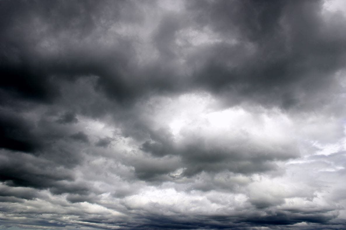
A potent storm is making its way into the region.

By City News Service:
Gusty winds, scattered showers and mountain snow will be possible in parts of Riverside County throughout most of the day Friday as a potent winter storm moves across Southern California.
A National Weather Service high wind warning for the mountains and the San Gorgonio Pass near Banning is scheduled to expire at 10 p.m. Friday. West to northwest winds of 30 to 40 miles per hour are forecast for the advisory period, along with gusts that may reach 70 mph.
Find out what's happening in Banning-Beaumontfor free with the latest updates from Patch.
A less severe wind advisory for the Coachella Valley will also remain in effect until 10 p.m. amid winds of 20 to 30 mph and gusts of up to 55 mph.
Forecasters said the strong winds may lead to hazardous driving conditions on Interstate 10 through the San Gorgonio Pass, especially for motorists in high-profile vehicles. Visibility on some desert roadways may also be reduced due to blowing dust.
Find out what's happening in Banning-Beaumontfor free with the latest updates from Patch.
The winds may also be strong enough to damage trees, power lines and unsecured outdoor objects, according to the NWS.
In addition to the cold, windy weather, forecasters said the winter storm would also bring scattered showers, which are expected to move east over Southern California Friday morning. Light to moderate rain Friday morning is expected to give way to heavier precipitation and isolated thunderstorms Friday afternoon along the west mountain slopes.
Rainfall amounts of up to an inch are in the forecast for the mountains, two-tenths to half an inch of rain west of the mountains and less than a tenth of an inch in the deserts.
As of 2:30 a.m. Friday, the snow level was about 7,500 to 8,000 feet. However, weather service forecasters said the snow level would drop to 5,300 to 6,000 feet Friday afternoon then down to 4,500 to 5,000 feet Friday evening. The highest elevations may see up to four inches of snow, areas with altitudes between 6,000 and 7,000 could see up to three inches and lower elevations may just get a trace.
The rain and snow are expected to ease up early Saturday as the storm moves east, and drier weather is in the forecast this weekend. However, a second bout of rain and strong wind will hit Sunday night.
Get more local news delivered straight to your inbox. Sign up for free Patch newsletters and alerts.