Weather
Red Flag Warning Across Inland Empire: Gusts Up To 60 MPH Expected
Santa Ana wind gusts could blow hard enough to topple large trucks and create mayhem on the freeways. Here's what the NWS says.

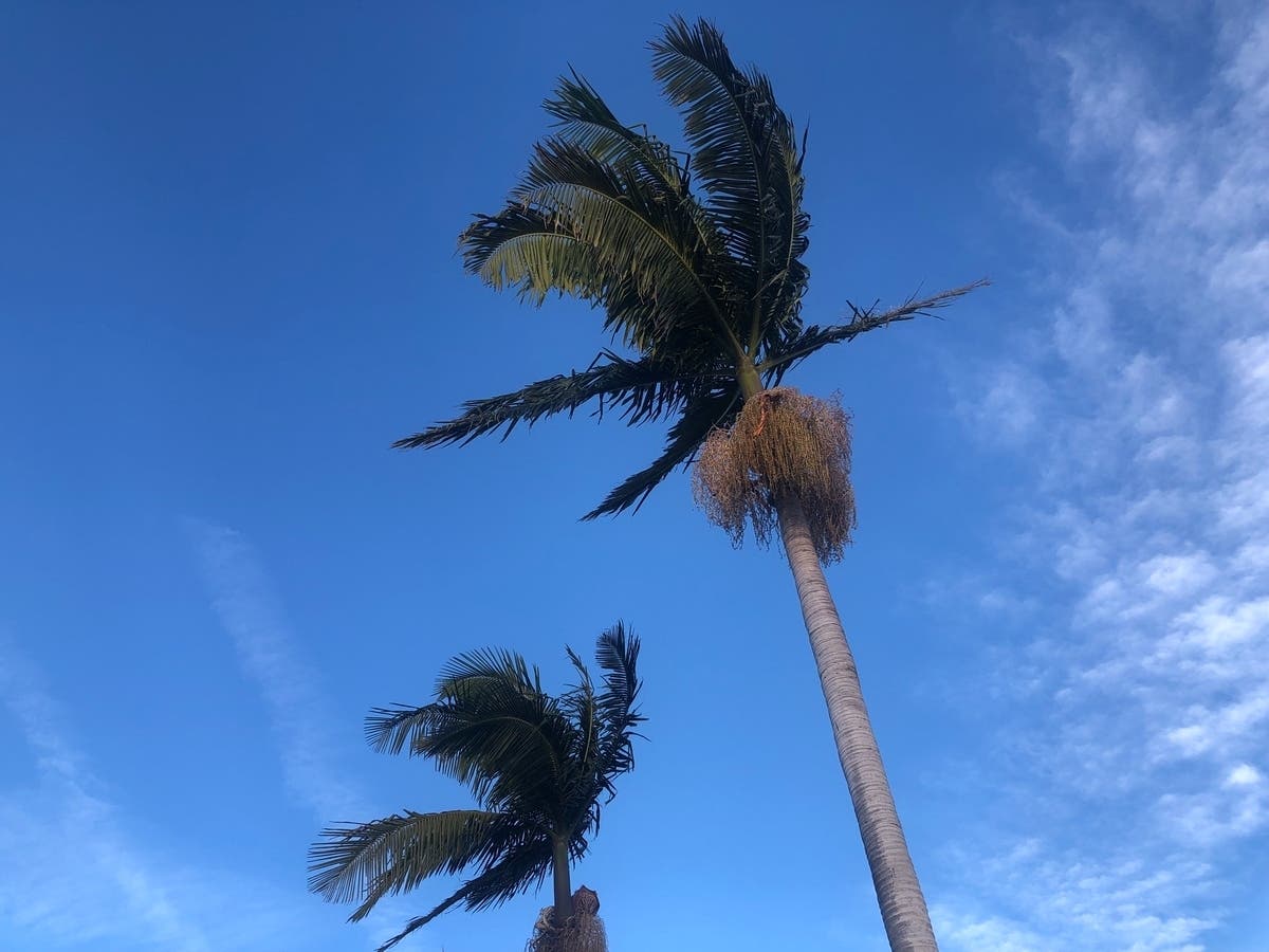
INLAND EMPIRE, CA — A red flag warning is in effect Wednesday and Thursday as gusts up to 60 mph are forecast across the Inland Empire, the National Weather Service said.
"Gusts 40 to 60 mph are expected into the Inland Empire, with the strongest winds below the Cajon Pass," the NWS said in a statement. "There will be two peaks in the winds -- one early Wednesday morning and another Wednesday night into Thursday morning. The first peak ... looks to be more confined to Orange County, the San Bernardino Mountains and the Inland Empire. The second peak Wednesday evening into Thursday looks to be more widespread."
It's the second Santa Ana wind event this week, on the heels of a fleeting one Monday.
Find out what's happening in Banning-Beaumontfor free with the latest updates from Patch.
Northeast winds will generally average 20 to 30 mph Wednesday. Forecasters said relative humidity throughout the region will plunge to 10%, resulting in bone dry conditions and increasing wildfire danger.
The red flag warning is in effect from 4 a.m. Wednesday to 11 a.m. Friday, while a high wind warning has been posted from 6 a.m. Wednesday to 2 p.m. Thursday.
Find out what's happening in Banning-Beaumontfor free with the latest updates from Patch.
"Winds will gradually weaken Thursday afternoon into Friday, with lingering gusts of 35 to 45 mph possible Thursday night and Friday morning ... below the Cajon Pass into the Inland Empire," the NWS stated.
Forecasters said a cold front swinging across the state on the trailing edge of a trough of low pressure will cause the windstorm. While there's no precipitation associated with the trough in California, it's expected to create instability farther east once it pushes into higher elevations, producing rain and snow.
Temperatures in the Riverside metropolitan area Wednesday and Thursday will peak in the upper 60s, with overnight lows in the low 50s. For Friday and the weekend, the mercury will rebound, climbing back into the mid-70s during the day and dropping to the mid-40s at night, according to meteorologists.
In the Coachella Valley, daytime highs Wednesday and Thursday will be around 70, with lows in the mid-50s. For the rest of the week, daytime temps will return to the low 80s and nighttime lows in the upper 50s.
The temperature band in the Temecula Valley will be aligned with Riverside metro this week.
Get more local news delivered straight to your inbox. Sign up for free Patch newsletters and alerts.