Weather
Snow, Wind Prompt Travel Advisories In Riverside County
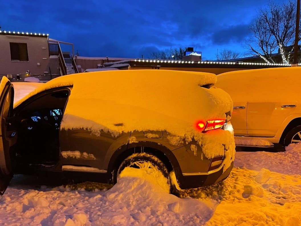
Motorists who want to visit snowy local mountains this weekend are advised to check conditions.

RIVERSIDE COUNTY, CA — The Inland Empire is forecast to get inclement weather through Saturday night, with rain, wind and snow expected throughout the region, prompting the National Weather Service to post a winter storm warning.
Caltrans is advising motorists who want to visit snowy mountain areas this weekend to check the NWS forecast and visit the Caltrans Quick Map to see local road conditions. As of Friday morning, chains were required in local mountains and snowplows were working to clear some highways, according to the Quick Map.
The state agency also offers tips for winter weather driving here.
Find out what's happening in Banning-Beaumontfor free with the latest updates from Patch.
Snow could be heavy at higher elevations, according to the NWS.
"Snow accumulations of eight to 14 inches above 7,500 feet, six to eight inches from 6,500 feet to 7,500 feet, four to six inches from 5,500 to 6,500 feet, and two to four inches from 4,000 to 5,500 feet are expected," the NWS stated.
Find out what's happening in Banning-Beaumontfor free with the latest updates from Patch.
According to the NWS, a pair of low-pressure systems are tracking over Southern California. The first storm arrived early Friday morning and the next trough of low pressure will dive south from the Pacific Northwest Saturday, further lowering snow levels to 3,500 feet, according to the Weather Service.
"The inside track of this (second) storm will greatly limit valley precipitation amounts, but snowfall could still be very impactful over the mountains," the NWS said.
Winds could make driving difficult. A wind advisory has been issued for the Coachella Valley and San Gorgonio Pass near Banning, including the cities of La Quinta, Borrego Springs and Desert Hot Springs, until 4 p.m. Saturday.
West winds are expected to be between 20 to 30 mph with gusts up to 55 mph. The strongest winds are expected for late Friday evening and Saturday.
The NWS recommends using extra caution when driving, especially those operating high-profile vehicles, and to secure outdoor objects.
The winter storm warning is in effect across the region until 10 p.m. Saturday.
"A line of moderate showers is likely to accompany the front, along with a chance of a few thunderstorms," according to an NWS statement. "The front will sweep rapidly inland before sun-up, but cold, unstable conditions will persist over SoCal, continuing scattered showers and isolated thunderstorms through about midday Friday."
The Riverside metropolitan area is likely to receive a quarter- to a half-inch of precipitation Thursday night and Friday morning, with a tenth to a quarter-inch possible Friday afternoon and evening, meteorologists said. Another tenth of an inch is in the forecast for Saturday.
High temperatures in the Riverside metro area Friday to Sunday are expected to hover in the low 60s, with lows in the low 40s. In the Coachella Valley, the highs will generally hold around 70 degrees, with lows in the mid-40s, and in the Temecula Valley, the highs will peak in the mid to upper 50s, with nighttime temps in the mid-30s.
A warming trend will begin Monday and last through the week, along with generally dry conditions, according to the NWS.
Get more local news delivered straight to your inbox. Sign up for free Patch newsletters and alerts.