Weather
Beacon's Beach Slope Stabilizing Following Damage
The city will begin repair work to ensure that the beach trail will reopen in time for July 4.

ENCINITAS, CA - The city of Encinitas is continuing to work with the UCSD Scripps Institution of Oceanography to monitor the Beacons Beach bluff and parking lot, the city announced in a news release.
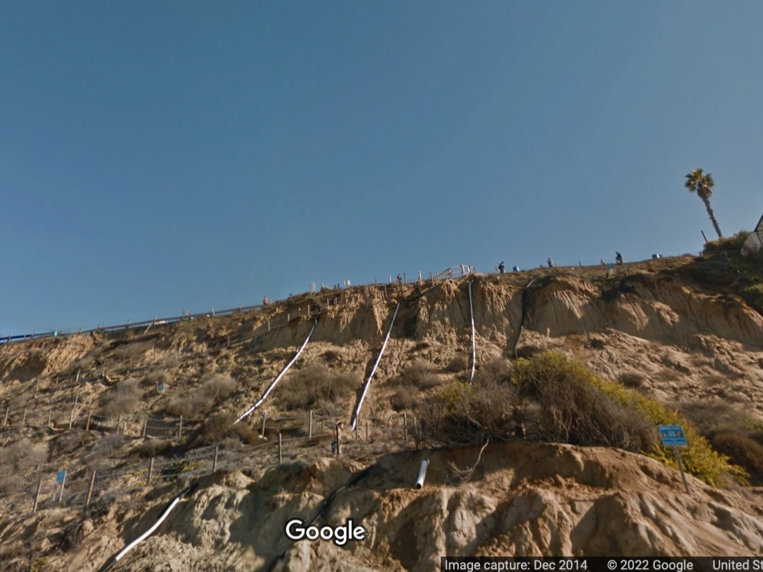
On May 2, the northern portion of an existing historic landslide at Beacon’s Beach reactivated and moved downslope to the west, creating numerous visible cracks in the slope and damage to the existing beach access trail from the parking lot.
Since then, Encinitas has worked with Scripps to install slope monitoring equipment to record slope movement and provide data to Scripps and the city. The city’s geotechnical engineer determined that the bluff is stabilizing based on data collected over the past eight weeks.
Find out what's happening in Encinitasfor free with the latest updates from Patch.
Trail repair work will begin next week with the goal of opening the trail in time for the 4th of July, the city said. In the meantime, residents are asked to avoid the area.
Get more local news delivered straight to your inbox. Sign up for free Patch newsletters and alerts.