Crime & Safety
Big Surf, Flooding To Hit Laguna Beach Coastline: Advisory
Laguna Beach residents can expect some coastal flooding and potential land erosion this week, according to the National Weather Service.


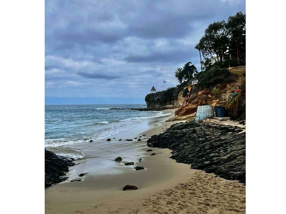
LAGUNA BEACH, CA — Get ready, Laguna Beach: strong surf is returning to the city's coastline this week, and flooding may come with it.
According to the National Weather Service, residents can expect powerful tides starting Monday morning.
The strong tides prompted the service to issue a flood advisory from 5 a.m. Monday, Sept. 28 through 5 p.m. Wednesday, Sept. 30 for all Orange County beaches.
Find out what's happening in Laguna Beachfor free with the latest updates from Patch.
According to the service, residents can expect an elevated surf of three to five feet throughout the advisory, with local sets of waves reaching up to seven feet on south-facing beaches.
Residents can expect the roughest conditions Tuesday morning, the service said, and were advised to steer clear of the waves during the advisory.
Find out what's happening in Laguna Beachfor free with the latest updates from Patch.
Residents were also advised to stay off rock walls and jetties, and to remain out of the water due to hazardous swimming conditions.
Forecasters said south-facing beaches should prepare for shallow seawater flooding of low-lying walkways, parking lots and roads, along with the potential for significant beach erosion. Very localized damage to structures is also possible in the most vulnerable areas.
"If travel is required, allow extra time as some roads may be closed," the service said in a statement. "Do not drive around barricades or through water of unknown depth. Take the necessary actions to protect flood-prone property."
The flood advisory comes after tropical storm Hurricane Polo created elevated tides at some southland beaches starting Sunday, bringing warnings of coastal flooding, significant beach erosion and dangerous rip currents through the week.
Hurricane Odalys is also churning off central Mexico, with southerly swells from both hurricanes expected to affect the region through Tuesday, according to the National Weather Service.
The weather service said a "reasonable worst-case scenario" would produce impacts similar to those from Hurricane Marie earlier this month, although the most likely outcome would be less severe. Marie caused significant damage to homes in Dana Point, Long Beach and Malibu.
Avalon could be particularly vulnerable because Polo's swells are expected to arrive from a more southeasterly direction than those from Marie, leaving the area more exposed, according to the NWS.
Forecasters said the situation remains complicated because Polo and Odalys are close to each other and computer models have had difficulty forecasting Odalys. Polo also has a relatively short period during which it is expected to be far enough west for its waves to have a clear path toward Southern California.
City News Service contributed to this report.
Get more local news delivered straight to your inbox. Sign up for free Patch newsletters and alerts.