Weather
Huge Surf, Erosion, Coastal Flooding Possible In Laguna Beach As Hurricane Polo Swells Arrive
The National Weather Service issued a beach hazards statement through Wednesday as a double whammy of pacific storm swells hit SoCal.
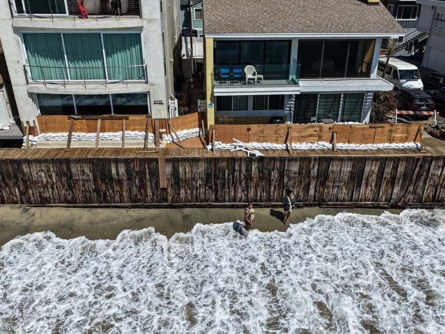
LAGUNA BEACH, CA — Hurricane Polo is expected to send swells toward Southern California beginning late Sunday, raising the potential for elevated surf, coastal flooding and significant beach erosion Monday and Tuesday, forecasters said.
Hurricane Odalys is also churning off central Mexico, with southerly swells from both hurricanes expected to affect the region this weekend through the middle of next week, according to the National Weather Service.
The National Weather Service issued a beach hazards warning for Laguna in effect through Wednesday. Beachgoers face a risk of powerful riptides and rogue waves, while low-lying coastal areas could experience flooding or beach erosion.
Find out what's happening in Laguna Beachfor free with the latest updates from Patch.
City officials and residents remain on edge after swells from Hurricane Marie stripped local beaches of sand and caused homes in nearby Dana Point to be red-tagged.
The City of Laguna Beach declared a local emergency after Hurricane Marie to unlock funding and fast-track measures to protect coastal areas from the coming fall and winter storms.
Find out what's happening in Laguna Beachfor free with the latest updates from Patch.
Surf at south-facing beaches could reach 4 to 7 feet at times Sunday through Tuesday, although forecasters said the heights could vary by about 2 feet because of uncertainty surrounding the hurricanes and their tracks.
High tides will steadily increase and are expected to peak Monday and Tuesday at around 7 feet, nearly a foot above astronomical tides due to the ongoing effects of El Nino, according to the NWS.
"There is a significant concern for Coastal Flooding over vulnerable south-facing beaches as a result, but the magnitude is still uncertain," forecasters said.
Areas of greatest concern in Southern California include Avalon, Long Beach and Malibu.
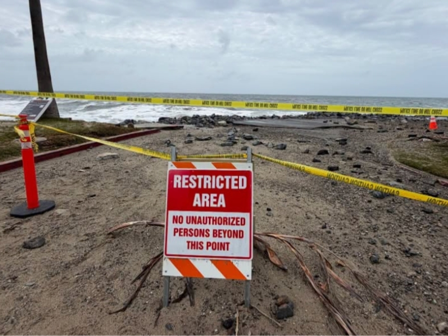
Forecasters said south-facing beaches should prepare for shallow seawater flooding of low-lying walkways, parking lots and roads, along with the potential for significant beach erosion. Very localized damage to structures is also possible in the most vulnerable areas.
The weather service said a "reasonable worst-case scenario" would produce impacts similar to those from Hurricane Marie earlier this month, although the most likely outcome would be less severe.
Avalon could be particularly vulnerable because Polo's swells are expected to arrive from a more southeasterly direction than those from Marie, leaving the area more exposed, according to the NWS.
Forecasters said the situation remains complicated because Polo and Odalys are close to each other and computer models have had difficulty forecasting Odalys. Polo also has a relatively short period during which it is expected to be far enough west for its waves to have a clear path toward Southern California.
Copyright 2026, City News Service, Inc.