Weather
Manhattan Beach Labor Day Weekend Weather
Will the heat wave persist this weekend in Manhattan Beach? Make sure to wear sunscreen, drink lots of water, and try to stay indoors.

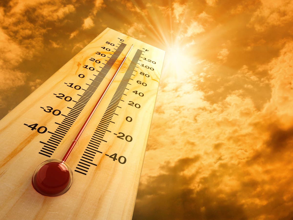
MANHATTAN BEACH, CA – With heat advisories, flex alerts, and record-breaking high temperatures, Labor Day weekend may have a few less barbecues than normal. Aside from the heat wave, the weather in Manhattan Beach is slightly different though – this weekend, get ready for highs in the upper 70's and lows in low 70's. Does this heat wave change your weekend plans? Here's a look at Manhattan Beach weather now through Labor Day:
This Afternoon
Sunny, with a high near 79. West southwest wind 5 to 10 mph.
Find out what's happening in Manhattan Beachfor free with the latest updates from Patch.
Tonight
Mostly clear, with a low around 70. South wind around 5 mph.
Thursday
Mostly sunny, with a high near 79. Calm wind becoming south southwest around 5 mph in the afternoon.
Find out what's happening in Manhattan Beachfor free with the latest updates from Patch.
Thursday Night
Mostly clear, with a low around 71. West southwest wind around 5 mph becoming calm in the evening.
Friday
Sunny, with a high near 79. Light and variable wind becoming west southwest 5 to 10 mph in the afternoon. Winds could gust as high as 15 mph.
Friday Night
Mostly clear, with a low around 71.
Saturday
Sunny, with a high near 79.
Saturday Night
Mostly clear, with a low around 71.
Sunday
Sunny, with a high near 77.
Sunday Night
Mostly clear, with a low around 68.
Labor Day
Sunny, with a high near 77.
Monday Night
Partly cloudy, with a low around 67.
Hottest day appears to be Friday, even for coastal areas. Record highs possible. #LAHeat #heatwave #LAWeather pic.twitter.com/DUIWi1zLTv
— NWS Los Angeles (@NWSLosAngeles) August 30, 2017
A warning of excessive heat was in force Wednesday in the mountains and valleys of Los Angeles County amid more triple-digit forecasts, with a high of 111 again expected in Woodland Hills.
"The combination of strong high pressure and weak onshore flow will continue to produce dangerously hot temperatures across the region through at least the end of the week and possibly into the labor day weekend," according to a National Weather Service statement, which predicted more heat records a day after a few were set.
The highest temperatures will be in the valleys and mountains at lower elevations. An excessive heat warning will be in effect until 10 p.m. Friday in the Antelope, San Fernando, Santa Clarita and San Gabriel valleys, and at lower elevations in the San Gabriel and Santa Monica mountains. Highs in those areas will range between 98 and 112 while overnight lows will be warm as well, ranging from the 70s to the mid 80s, NWS forecasters said.
A less severe heat advisory will be in force, also until 10 p.m. Friday, along the L.A. County coast, in beach cities, metropolitan Los Angeles -- including the Downtown area -- and the Hollywood Hills. Temperatures in those areas will range from the upper 80s to the mid 90s, with overnight lows falling only to a range between the upper 60s and mid 70s.
Wednesday's temperatures will be only around 5 degrees above normal at the beach but 12-15 degrees above normal in downtown L.A. and 15-20 degrees above normal in the valleys and mountain, NWS meteorologist Andrew Rorke said in a telephone interview from his monitoring station in Oxnard. These levels will persist through Friday and perhaps into Saturday as well, he said.
The California Independent System Operator, which manages the state's electric grid, Tuesday issued a statewide Flex Alert, calling for voluntary electricity conservation from 2 p.m. to 9 p.m. Nonetheless, some outages occurred, and crews were working Wednesday morning to restore power to more than 8,500 L.A. Department of Water and Power customers in the San Fernando Valley.
By Wednesday morning, the number of DWP customers without power had been reduced to 2,200, 819 of them in Van Nuys, said DWP spokeswoman Vonda Paige.
Forecasters said they expect more heat records Wednesday. Lancaster reached a high of 109 degrees Tuesday, breaking the record for an August 28, which was 107 and set in 1998. Sandberg, a mountain locale in the Antelope Valley, reached 103 degrees, breaking the record of 97 set in 2007. Woodland Hills reached 112 degrees, tying the record set in 1996.
Forecasters again warned area residents to protect themselves and those close to them from the high heat. Their recommendations include avoiding strenuous work in high heat, wearing lightweight and light-colored clothing, staying well-hydrated, checking on friends and relatives, especially the elderly, and never leaving children, seniors or pets in parked cars since vehicle interiors can rapidly turn deadly hot.
The NWS forecast sunny skies in L.A. County Wednesday and highs of 79 in Avalon; 84 at LAX; 93 in Long Beach; 94 on Mount Wilson; 97 in Downtown L.A.; 98 in San Gabriel; 100 in Pasadena; 104 in Burbank; 107 in Palmdale; 108 in Lancaster; 109 in Saugus; and 111 in Woodland Hills.
Sunny skies were also forecast in Orange County, along with highs of 76 in Newport Beach and Laguna Beach; 77 in San Clemente; 94 in Irvine; 95 in Anaheim; 97 in Fullerton and Mission Viejo; and 100 in Yorba Linda. Little change is expected in Orange County temperatures over the next several days, although a slight temperature increase is expected starting Friday, lasting three days in some communities.
City News Service and Patch staffer Emily Holland contributed to this post; Image via Shutterstock
Get more local news delivered straight to your inbox. Sign up for free Patch newsletters and alerts.