Crime & Safety
Current CA Fires: 7,000 Firefighters Battling 13 Major Blazes That Have Burned 93,000+ Acres
Check out California's latest statewide fire summary and location map as of Wednesday, July 12. (Breaking)

As California's wildfire season continues to keep crews on their toes, there are approximately 7,000 firefighters out battling some 13 large incidents in the state, Cal Fire officials said Wednesday. In its latest fire briefing, the state's lead firefighting agency reports on weather expectations for the day, along with the statistics on current fires.
You can catch the full California Statewide Fire Summary for Wednesday, July 12 below. (Scroll down for a map of current fires and details on the major incidents)
In the northern region a low-pressure trough will linger over the northern region through Wednesday, which will keep the Four Corners high from having as much influence. The warmest inland areas will be reasonably close to seasonal normals and within a few degrees of 100. There will continue to be some locally breezy conditions in the eastern Bay Area today with some low afternoon relative humidity there as well, but relative humidity should be a little higher today than Monday overall.
The Four Corners high will push westward again later this week for a return of dry, very hot weather to the region over the weekend. In the southern region, southwesterly flow aloft will begin to sweep most of the monsoonal moisture from the area today which should lead to far less afternoon convection over the next few days. Wednesday through Friday, the only storms expected will be confined to the Sierra Crest.
Temperatures (outside the deserts) will drop a few degrees through the end of the workweek with highs returning to near normal by Thursday. Long-range models indicate high pressure will return to the Four Corners, leading to warmer weather and scattered wet thunderstorms by Saturday or Sunday. Temperatures will likely reach the mid 90s with much higher relative humidity by the first part of next week.
Did you know that many of the wildfires are sparked along our roadways? These fires can be prevented by practicing a few safety measures. Don’t drag any parts, and make sure to secure chains when towing. Check tire pressure, and properly maintain brakes so you don’t expose areas that can throw sparks. Make sure to pull over in an open area if you have mechanical problems because hot exhaust pipes and mufflers can start fires. For more detailed wildfire safety information, visit http://www.readyforwildfire.org/
Courtesy of Cal Fire, here are the main fires of interest that crews are fighting as of Wednesday, July 12:
**CAL FIRE Incidents**
Wall Fire, Butte County (more info…)
Chinese Wall Rd, 5 miles north of Bangor
· 5,800 acres, 60% contained
· Evacuations remain in effect
Winters Fire, Yolo County (more info…)
Highway 128 at Pleasant View Road, 3 miles southwest of Winters
· 2,269 acres, 95% contained
Stone Fire, San Luis Obispo County FINAL
Huer Huero Rd x Hwy 58, Santa Margarita
· 340 acres, 100% contained
Garza Fire, Kings County (more info…)
8.5 miles east of Parkfield near the Monterey, Kings County Line
· 18,666 acres, 24% contained
Gold Fire, Yuba County NEW/FINAL
Hammonton Rd, 1 mile N of Beale AFB
· 40 acres, 100% contained
Fay Fire, Siskiyou County (more info…) FINAL
Highway 3 and Fay Lane, 7 miles south of Etna
· 469 acres, 100% contained
Felipe Fire, Santa Clara County FINAL
San Felipe Rdm 8 miles northeast of Morgan Hill
· 70 acres, 100% contained
Lariat, Vegetation Fire, Santa Clara County, NEW
Lariat Ln x Claitor Way, 6 miles NE of San Jose
∙ 101 acres, brush 50% contained
**Unified Command**
Whittier Fire, Santa Barbara County (more info...)
Lake Cachuma area, south of Hwy 154
· 11,920 acres, 48% contained
Alamo Fire, San Luis Obispo County (more info…)
Highway 166 at Alamo Creek Road, east of Santa Maria
· 28,687 acres, 65% contained
Jennings Fire, San Diego County (more info…) NEW
I-8 and Old Hwy 80, Community of Lakeside
· 400 acres, 30% contained
**Federal Incidents**
Island Fire, Siskiyou County (more info…)
14 miles west of Etna in the Marble Mountain Wilderness
· 962 acres
Schaeffer Fire, Tulare County (more info…)
17 miles north of Kernville
· 15,859 acres, 25% contained
Mart Fire, San Bernardino County (more info…)
Highland Ave at Highway 330
· 670 acres, 95% contained
Farad Fire, Sierra County (more info…)
CA/NV Stateline, 12 miles NE of Truckee
· 670 acres, 20% contained
Long Valley Fire, Lassen County (more info…) NEW
Hwy 395 x Cowboy Joe Rd, 3 miles north of Doyle
· 8,000 acres, 25% contained
Silver Fire, San Bernardino County (more info…)
Silverwood Lake Area
· 13 acres, 80% contained
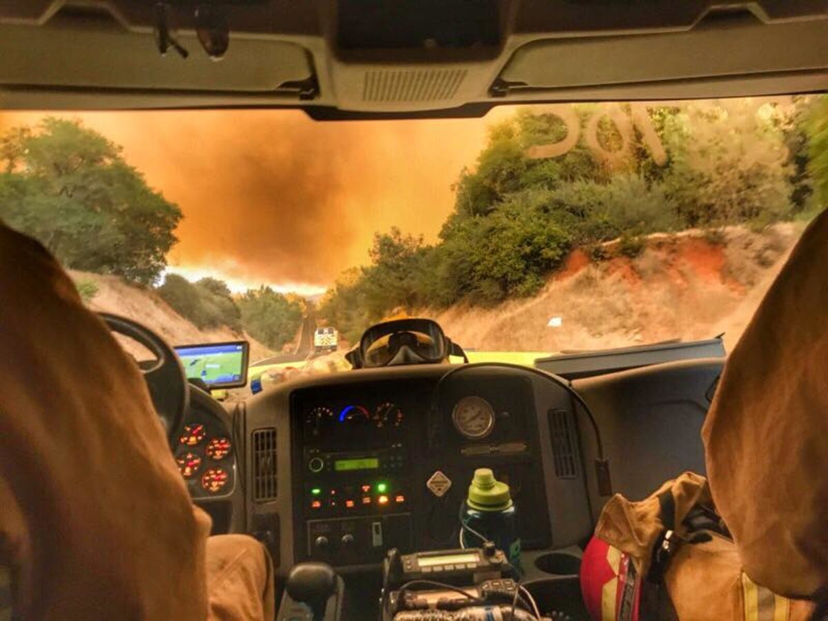
Image via Alameda County Fire Department