Community Corner
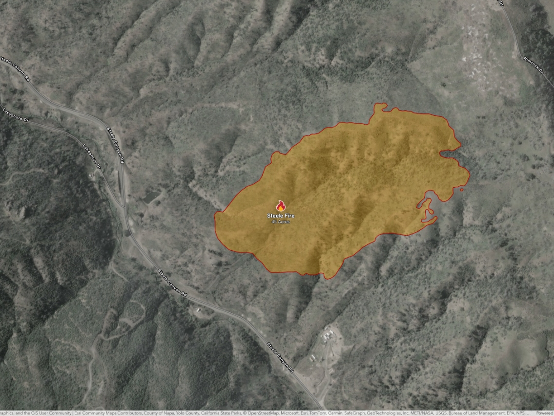
Napa Steele Fire Map: See Steele Fire Perimeter, Evacuation Areas
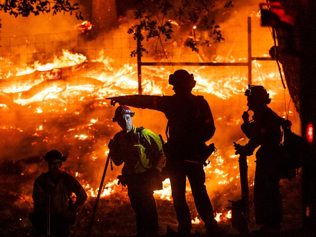
Firefighters are battling a vegetation fire near Steele Canyon Road Wednesday.


NAPA VALLEY, CA — A fast-moving blaze broke out in the Napa County late this morning, triggering evacuation warnings that were quickly lifted ad crews stoppped the forward progress of the blaze.
The fire is burning in a zone east of Steele Canyon Road, west of Wragg Canyon Road, and north of Highway 128.
The Steele Fire erupted about 11 a.m. in an area near the 9400 block of Steele Canyon Road, scorching 45 acres within two hours.
Find out what's happening in Napa Valleyfor free with the latest updates from Patch.
Officials said the blaze had been moving rapidly and could threaten structures, but crews quickly got the upper hand.
Those in evacuation warning areas should be prepared to leave on a minute's notice. As of 2:20 p.m. Wednesday, all evacuation warnings had been lifted.
Find out what's happening in Napa Valleyfor free with the latest updates from Patch.
Get more local news delivered straight to your inbox. Sign up for free Patch newsletters and alerts.