Weather
Evacuations For Trabuco Canyon Lifted: OCSD
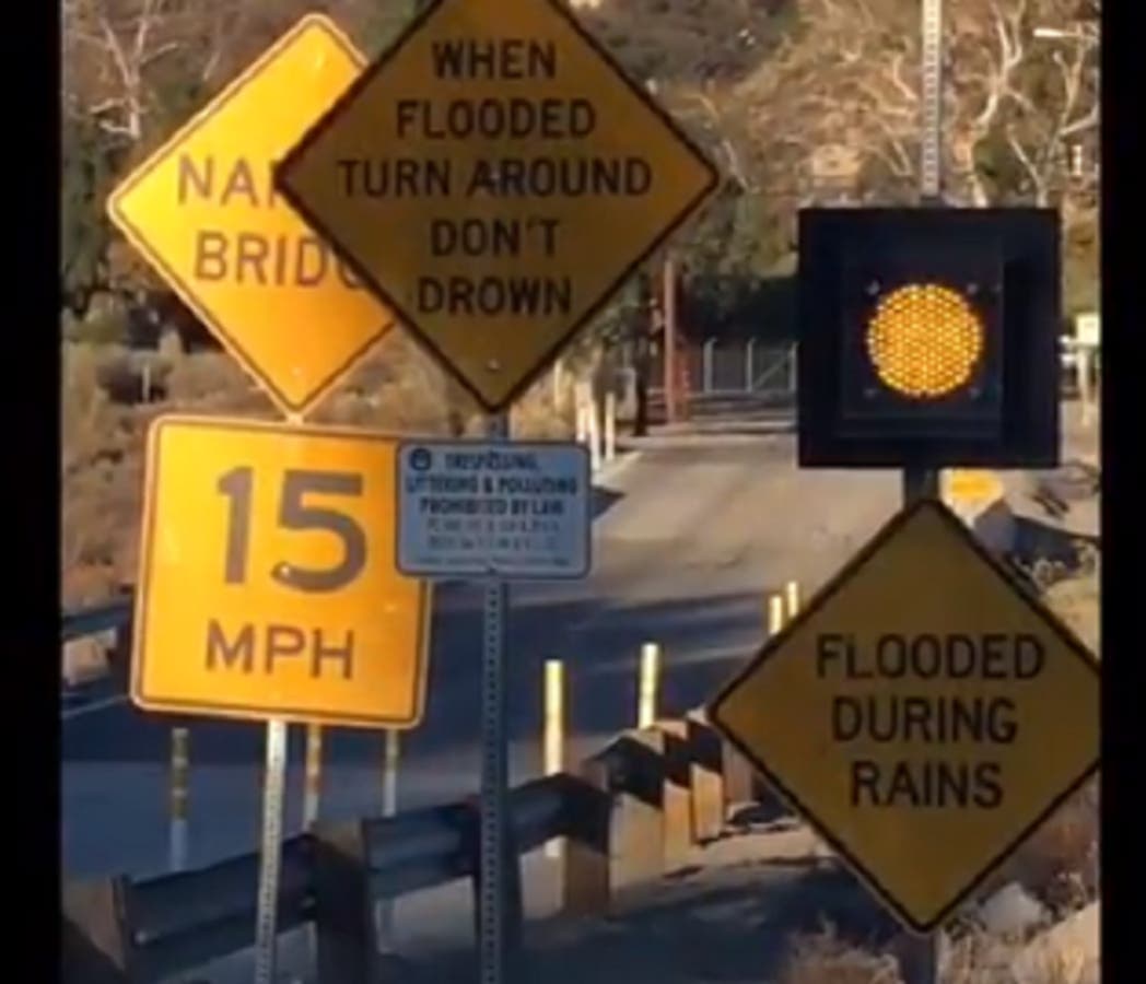
UPDATE: If you live near a burn scar area, mudslides and flash flooding remain possible through Friday. Remember, turn around, don't drown!


RANCHO SANTA MARGARITA, CA — Mandatory evacuations were lifted, Friday morning for the Trabuco Canyon burn scar area homes, and voluntary evacuation orders were lifted for the Rose Canyon and Mystic Oaks/El North areas, Orange County Sheriff's Department reported.
Trabuco Canyon Road is open once again, they said.
All evacuation orders were lifted as of 7:15 a.m., though a Flash Flood Watch remains in effect through Friday, with periods of heavy rain expected to continue throughout the evening.
Find out what's happening in Rancho Santa Margaritafor free with the latest updates from Patch.
The National Weather Service has issued a Flash Flood Warning, indicating flash flooding may begin shortly with a potential for mud and debris flow in the Holy Fire burn area in Trabuco Canyon.
"Hourly rainfall rates in stronger showers and isolated thunderstorms could approach one-half to one inch in an hour," according to the NWS. "This could lead to mudslides and debris flows at recent burn scars. The time window of greatest concern is from late Thursday morning through early Thursday evening."
Find out what's happening in Rancho Santa Margaritafor free with the latest updates from Patch.
In Orange County, the sheriff's department Wednesday issued a voluntary evacuation order for homes within Trabuco Canyon, Rose Canyon and the Mystic Oaks and El Cariso areas.
"Those orders could be upgraded to mandatory if debris flows are spotted, or if bridges or roads become impassable due to flooding," Carrie Braun, a spokeswoman for the Orange County Sheriff's Department, said. "Orange County officials plan to set up an incident command post near City Hall in Rancho Santa Margarita Thursday morning."
Most areas should see between a half-inch and two inches of rain, although three inches could fall at higher elevations and foothills.
A flash flood watch will be in effect for the Santa Ana mountains and foothills and inland Orange County throughout the day Thursday and into early Friday morning.
The storm originating in the Gulf of Alaska began moving across California's Central Coast Wednesday afternoon and into Ventura County, reaching Los Angeles County in the evening strengthened by moisture from the Eastern Pacific. Forecasters expected the Thursday morning commute to pose challenges.
The storm was generating strong, gusty winds, prompting the NWS to issue a wind advisory on Santa Catalina Island; the San Gabriel and Santa Monica mountains; the Antelope, San Fernando, Santa Clarita, Pomona and San Gabriel valleys; L.A. County Beach cities, metropolitan Los Angeles, including Downtown L.A., and the Hollywood Hills.
In the mountains and the Antelope Valley, the wind was forecast to blow at 20-30 miles per hour, with 50-mph gusts. In the other L.A County areas subject to a wind advisory, winds of 15-30 mph with 40-mph gusts were expected. The advisory, indicating winds or gusts of at least 35 mph, was scheduled to be in effect until midnight.
"Gusty winds will make driving difficult, especially for high profile vehicles," warned the NWS in a statement.
Forecasters say the rain will fall on the sites of the Woolsey Fire in L.A. and Ventura County, the Hill Fire in Ventura County and the Thomas Fire that burned in Ventura and Santa Barbara counties in December 2017.
Ahead of the storm, residents made preparations in Malibu, much of which was devastated by the Woolsey Fire this month. In Orange and Riverside counties, residents near the Holy Fire burn area were being urged to evacuate before the rain began falling. Mandatory evacuation orders were issued late Wednesday afternoon for some areas of Lake Elsinore in Riverside County.
"All Malibu residents are urged to prepare for potential flooding, mudslides, power outages and evacuations," the city said in a statement Tuesday. But those preparations must not involve removing debris, which contains hazardous materials. No debris removal from burned properties is allowed until inspections by state and county health officials have been completed.
The Los Angeles County fire and sheriff's departments both deployed additional staffing into the burn area in light of the threat of potentially damaging flooding. Officials with both agencies stressed the need for residents to adhere to whatever evacuation orders are issued.
"Evacuation orders should not be taken lightly and are ordered because there is a threat to life and property," according to a joint statement from the agencies.
The NWS forecast L.A. County highs Thursday of 51 degrees on Mount Wilson; 57 in Palmdale; 58 in Lancaster; 60 in Saugus; 62 in Pasadena and Woodland Hills; 63 in Downtown L.A., San Gabriel and at LAX; and 64 in Long Beach and Avalon.
For Orange County, the NWS forecast highs of 46 on Santiago Peak; 55 on Ortega Highway at 2,600 feet; 59 in Fremont and Trabuco canyons; 62 in Yorba Linda; 63 in Laguna Beach and Mission Viejo; 64 in San Clemente and Anaheim; and 65 in Fullerton, Newport Beach and Irvine. In contrast with the norm, there was little difference in temperature Thursday between coastal and inland communities, which are usually several degrees higher.
Orange County Public Works photo
Get more local news delivered straight to your inbox. Sign up for free Patch newsletters and alerts.