Community Corner
EPA Posts Phase I Hazardous Waste Removal Map: CZU Fires
The map is available in the "Maps + Data" section of the County's website.
Press release from County of Santa Cruz:
Oct. 6, 2020
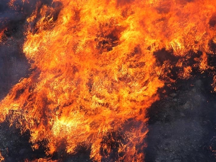
The U.S. Environmental Protection Agency has established a Phase I debris removal map to help residents impacted by the CZU Lightning Complex fires track the progress of household hazardous waste cleanup.
Find out what's happening in Santa Cruzfor free with the latest updates from Patch.
As U.S. EPA crews work through the 86,500-acre burn area, the map will be updated to show which properties have been cleared and are eligible to move into Phase II of the debris removal process.
Cleared properties will also show a white placard (inset) alerting property owners that site assessment and cleanup have been completed. U.S. EPA crews include staff, equipment and vehicles and may lead to traffic disruptions.
Find out what's happening in Santa Cruzfor free with the latest updates from Patch.
Staff will wear safety gear with U.S. EPA logos and will not solicit residents for goods or services. Residents with property losses or damage should verify that their address is included in the map. If not, please call the U.S.
EPA hotline at (415) 793- 8794 to provide your address so that you may be included in the household hazardous waste removal program.
There is no cost to residents for this service. In addition, residents may call the hotline to report property details such as hazards and other information to U.S. EPA debris removal teams.
The map is available in the “Maps + Data” section of the County’s www.santacruzcounty.us/firerec... website.
This press release was produced by County of Santa Cruz. The views expressed here are the author's own.