Community Corner
Storm Conditions Expected To Peak Tonight: NWS
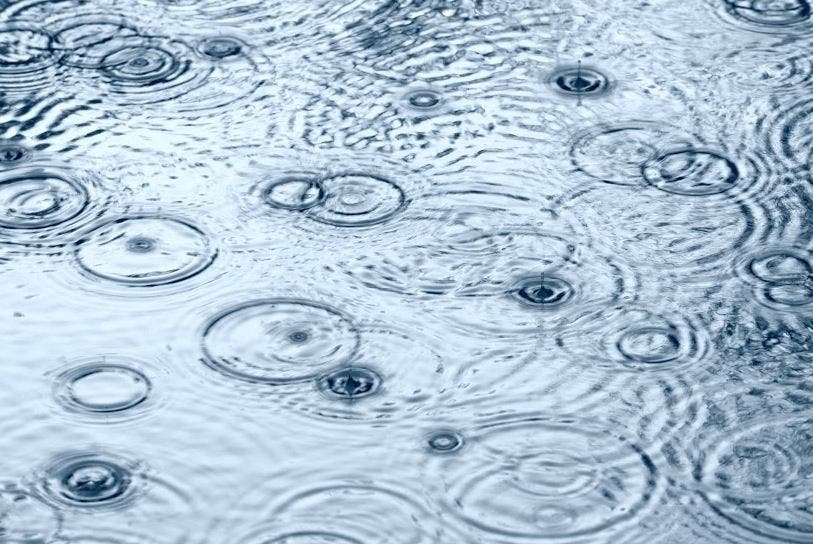
BREAKING: There's a chance of thunderstorms and flooding, weather service officials say.

BAY AREA, CA — Storm conditions throughout the Bay Area are expected to peak into the early evening on Jan. 10, according to the National Weather Service.
Strong gusty winds coupled with moderate to heavy rainfall are anticipated Tuesday, which could result in more coastal flooding. The strong winds could also cause downed trees, resulting in more power outages and blocked roads.
Chances of thunderstorms later tonight are low but possible, weather service officials said. Weather service officials have also issued a flood warning for the Russian River near Guerneville and the Napa River in areas near St. Helena and Napa.
Find out what's happening in Santa Cruzfor free with the latest updates from Patch.
In addition to the wet weather, king tides are expected to occur today through Jan. 12. The tides are a naturally occurring phenomenon that occurs when there is an alignment of the gravitational pull between the sun and moon, causing high astronomical tides.
The tides, along with the storm surge and rain runoff, could result in flooding in coastal and low-lying areas.
The rain is expected to ease up later tonight and into early morning on Jan. 11, with scattered showers expected after that, weather service officials said.
Find out what's happening in Santa Cruzfor free with the latest updates from Patch.
After Wednesday, a drying and cooling trend is expected to come into the Bay Area and Monterey Bay region, going into the weekend and early next week, according to the weather service.
Forecast additional rain: 4 pm Tues-4 am Wednes. Most in #santacruzmountains (up to 2") and Santa Lucias (up to 4") #caflood #castorm #cawx pic.twitter.com/r6JEwB0PR8
— NWS Bay Area (@NWSBayArea) January 11, 2017
1pm update on top wind speeds and rainfall reports. Previous storm made area more susceptible to floods/down trees! Be safe! #cawx pic.twitter.com/aZ25NquvN3
— NWS Bay Area (@NWSBayArea) January 10, 2017
Bay City News contributed to this report/Image via Shutterstock
Get more local news delivered straight to your inbox. Sign up for free Patch newsletters and alerts.