Community Corner
Update: Green Flag Alert for Sierra Madre
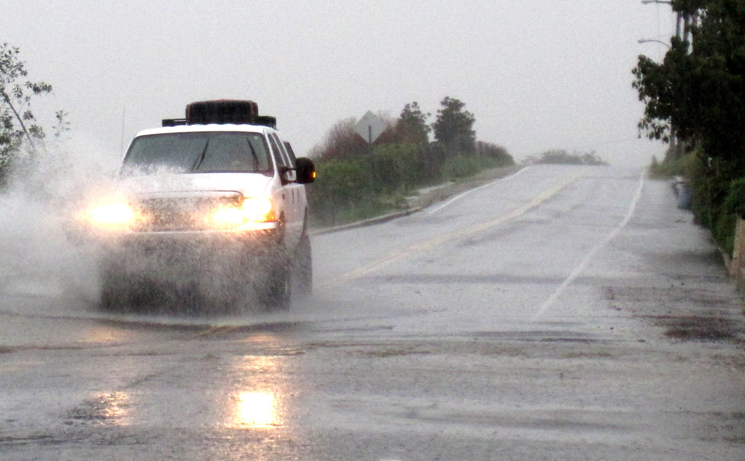
Rain is expected to move in tonight and soak Sierra Madre tomorrow. The city has issued a green flag alert
Update 6:50 p.m.:
In response to the 80-100% chance of rain tonight and Saturday, the City has issued a Green Flag Alert for mud and debris flow in the hillsides.
From the City of Sierra Madre:
Find out what's happening in Sierra Madrefor free with the latest updates from Patch.
The City of Sierra Madre has issued a Green Flag Alert for mudslides and debris flows in the hillside communities. The National Weather Service is forecasting an 80% chance of precipitation beginning this evening (Friday 1/20/12) and continuing into tomorrow (Saturday 1/21/2012).
A Green Flag Alert is issued when there is an 80% chance or more of precipitation. Affected residents should get ready for potential evacuation and keep close watch on weather forecasts. This includes residents of the Upper and Lower Canyon as well as any resident whose property abuts the hillsides burned by the Santa Anita Fire.City Officials would like to remind residents of our mud and debris flow alert system.
Find out what's happening in Sierra Madrefor free with the latest updates from Patch.
A series of three different colored flags will be flown at four different locations in the City (City Hall, Search and Rescue Station, Mountain Trail at Churchill Road, and Mary’s Market). When possible, flags will be displayed indicating one of three stages of emergency. Be sure to check the website, Facebook/Twitter page, email alerts, SMTV3, AM 1630, or simply call City Hall or the Police Department to confirm the current stage of emergency and please understand the City may not always have the ability to change these flags the moment conditions or forecasts change.
The City has identified a number of streets that will need to be clear of all vehicles during a Yellow Flag or Red Flag alert. The affected streets are: Mount Wilson Trail, Churchill Road, Skyland Drive, Fern Glen, Fern Drive, Idlehour Lane, Canyon Crest Drive, Orange Drive, Woodland Drive, Brookside Lane, Sturtevant Drive, Sunnyside Lane, and Yucca Trail.
The Yellow and Red Flag Alerts will trigger vehicles being towed from these streets at the owners’ expense.
Stage One: GREEN FLAG - Activated under a prediction of 80% - 100% chance of precipitation. Affected residents should get “READY” for potential evacuation. This includes keeping a close watch on weather forecasts.
Stage Two: YELLOW FLAG - Activated with an LA County Phase 1 mudflow forecast. This is described as small, isolated debris and mudflows possible at specific locations. Affected residents should get “SET” to leave their homes and may choose to voluntarily evacuate. Please note that all vehicles must be off the streets in potential mudflow areas during Yellow Flag alerts.
Stage Three: RED FLAG - Activated with an LA County Phase 2 or 3 forecast. Phase 2 includes moderate debris and mudflows at more widespread locations. Phase 3 - the potential exists for significant debris and mudflows to be widespread. Affected residents should “GO”, meaning they should immediately evacuate, and vehicles should not be parked on the streets.
When evacuating, please plan to be as self-sufficient as possible with important paperwork, medications, and clothing for at least seven days. It is important anticipate a possible evacuation order, and make plans for your pets in advance.
Please note that Public Safety Officials do not take evacuation orders lightly and residents should heed these orders. Once mud begins to flow, Emergency Responders will NOT rescue those who failed to evacuate until the mud has stopped flowing and it is safe for responders to enter the mud flow areas.
Updates will also be issued on SMTV3 (Time Warner-channel 3), the City's website www.cityofsierramadre.com, the Sierra Madre Community Radio (AM 1630), eblasts, and the City’s emergency blog (http://sierramadrepio/blogspot.com).
Earlier:
The National Weather Service has issued a Hazardous Weather Statement for the San Gabriel Valley.
A few storm systems are moving into Southwestern California, according to the NWS. The first and heavier storm is expected to hit Sierra Madre late on Friday evening, bringing heavy rain that will increase in intensity throughout Saturday. A high of 61 degrees is expected, with winds around 5 mph.
The rain will taper off Saturday night, and Sunday will see partly sunny skies.
A second, weaker storm system may affect Sierra Madre on Monday with light showers.
The NWS urges residents to use caution when driving, as heavy rain could create localized ponding.
Weekend Temperatures
Friday: High 63, Low 57
Saturday: High 61, Low 41
Sunday: High 63, Low 47