Weather
Banning, Beaumont Weather: Strong Rain, Winds Forecast; Lows in the 50s This Week
This week is starting off wet!

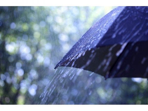
BANNING, CA - Gusty wind and potentially heavy rain are expected in various parts of Riverside County throughout the day Monday, including in Banning and Beaumont.
A National Weather Service wind advisory for the mountains and the San Gorgonio Pass zone, which includes the cities of Banning and Desert Hot Springs, will remain in effect until 10 p.m. Tuesday. Winds of 35 to 50 miles per hour are expected in most of the affected areas, but gusts could reach 50 to 75 mph over the mountain ridges and along desert slopes.
"Strong and gusty westerly winds will continue through Tuesday," according to the weather service. "Winds will be strongest along the mountain ridges, through mountain passes and into adjacent deserts."
Find out what's happening in Temeculafor free with the latest updates from Patch.
Rain is expected throughout the day and into Tuesday in Riverside, the surrounding valleys and the mountains.
Anticipated rainfall amounts through Tuesday are expected to be .35 of an inch in Hemet, .42 in Riverside, .54 in Temecula, and .55 in both Anza and Lake Elsinore, according to the NWS. The snow level will stay above 8,000 feet.
Find out what's happening in Temeculafor free with the latest updates from Patch.

As for Banning in particular, here is the National Weather Service for the week:
Today
Rain. High near 52. Southwest wind 15 to 20 mph, with gusts as high as 35 mph. Chance of precipitation is 100%.
Tonight
Rain. Low around 51. Southwest wind around 20 mph, with gusts as high as 35 mph. Chance of precipitation is 100%.
Tuesday
Rain, mainly before 4pm. High near 57. Breezy, with a west wind 20 to 25 mph, with gusts as high as 40 mph. Chance of precipitation is 90%.
Tuesday Night
A 30 percent chance of rain before 10pm. Cloudy, then gradually becoming partly cloudy, with a low around 50. Southwest wind 15 to 20 mph, with gusts as high as 30 mph.
Wednesday
Mostly sunny, with a high near 67. West wind around 15 mph, with gusts as high as 25 mph.
Wednesday Night
Partly cloudy, with a low around 51.
Thursday
Mostly sunny, with a high near 72.
Thursday Night
Mostly cloudy, with a low around 53.
Friday
A chance of rain after 10am. Mostly cloudy, with a high near 64.
The Coachella Valley was not included under the advisory although sustained wind speeds of 15 to 25 are in the forecast, along with gusts of 35 to 45 mph.
About two miles of a main Palm Springs roadway was shut down Monday because blowing sand made visibility poor, authorities said. Indian Canyon Drive was shut down around midnight between Garnet Avenue and Tramview Road, according to Palm Springs police.
The northbound and southbound lanes were to remain closed until winds die down, likely around daylight, Torres said.
The rain may lead to slick roads with water ponding in some areas. The wind may also affect traffic through passes and along some desert highways, according to the weather service. Motorists were urged to use extra caution.
The rain is expected to taper off and the winds will weaken Tuesday night. Forecasters said high pressure would bring fair and warmer weather Wednesday and Thursday, but another storm may deliver more rain Friday into next weekend.
— City News Service contributed to this report / Image via Shutterstock
Get more local news delivered straight to your inbox. Sign up for free Patch newsletters and alerts.