Weather
Heavy Rain To Slam Temecula; Flood, Debris Flow Feared Nearby
Riverside County officials issued a volunteer evacuation warning to residents living in the Holy Burn Area.


RIVERSIDE COUNTY, CA — The Inland Empire's first significant rainstorm of the season was expected to sweep into the region Wednesday and could trigger flooding, mud slides and debris flows, especially along the burn-scarred area in the Cleveland National Forest facing Lake Elsinore and Temescal Valley, prompting Riverside County officials to issue a volunteer evacuation warning to residents.
UPDATE —>: Mandatory Evacuations Ordered In Holy Fire Burn Area
The county's Emergency Management Department posted the warning around 3 p.m. Tuesday -- a recommendation for voluntary relocation, not a mandate - - after receiving the latest National Weather Service report on a Pacific trough pushing toward Southern California, expected to start producing rain Wednesday evening.
Find out what's happening in Temeculafor free with the latest updates from Patch.
The warning applies to Lake Elsinore residents along Alberhill Ranch Road and Amorose Street, as well as residents on Glen Eden Road south of Corona, the Glen Ivy Hot Springs community, the Horsethief Canyon community, and the area around McVicker Park in Lake Elsinore.
-1543431757-5216.jpg)
A care and reception center is open at Temescal Canyon High School, at 28755 El Toro Road in Lake Elsinore.
Find out what's happening in Temeculafor free with the latest updates from Patch.
More information is available at https://www.rivcoready.org/.
The National Weather Service is forecasting around one-tenth of an inch of rain Wednesday evening in Lake Elsinore, Corona and Riverside before the storm system dumps over one inch of rain in the same areas Thursday.
Here's the full, detailed forecast for Temecula for the coming days, courtesy of the National Weather Service:
Wednesday
A chance of rain after 4pm. Increasing clouds, with a high near 65. Southwest wind around 10 mph, with gusts as high as 20 mph. Chance of precipitation is 30%. New precipitation amounts of less than a tenth of an inch possible.
Wednesday Night
Rain, mainly after 10pm. The rain could be heavy at times. Low around 54. South wind 5 to 10 mph. Chance of precipitation is 80%. New precipitation amounts between a tenth and quarter of an inch possible.
Thursday
Rain before 10am, then showers and possibly a thunderstorm after 10am. Some of the storms could produce heavy rainfall. High near 60. Southwest wind 15 to 20 mph, with gusts as high as 30 mph. Chance of precipitation is 100%. New rainfall amounts between three quarters and one inch possible.
Thursday Night
Showers and possibly a thunderstorm before 10pm, then a chance of showers. Low around 49. Southwest wind 10 to 15 mph, with gusts as high as 20 mph. Chance of precipitation is 80%. New precipitation amounts between a quarter and half of an inch possible.
Friday
A slight chance of showers before 10am. Mostly sunny, with a high near 59. Southwest wind 10 to 15 mph, with gusts as high as 20 mph. Chance of precipitation is 20%.
Friday Night
Mostly cloudy, with a low around 47.
Saturday
Showers likely after 10am. Mostly sunny, with a high near 59. Chance of precipitation is 60%.
Saturday Night
Showers likely, mainly before 10pm. Partly cloudy, with a low around 43.
Sunday
A slight chance of showers before 10am. Sunny, with a high near 58.
Sunday Night
Mostly clear, with a low around 42.
The county mountains are expected to receive two-tenths of an inch of rainfall Wednesday evening and up to 3 inches of rainfall Thursday, according to the NWS.
The Coachella Valley is not expected to see any rainfall Wednesday and will receive less than one-tenth of an inch of rain Thursday, according to the NWS. The San Gorgonio Pass near Banning is expected to get less than one-tenth of an inch of rain Wednesday and up to one-and-a-quarter inch of rain Thursday.
A flash flood advisory was set to go into effect from 6 a.m. to 8 p.m. Thursday for the Riverside County mountains.
A flash flood advisory was also set to go into effect during the same time Thursday for Orange County inland areas, which includes a small southwest portion of Riverside County west of La Cresta.
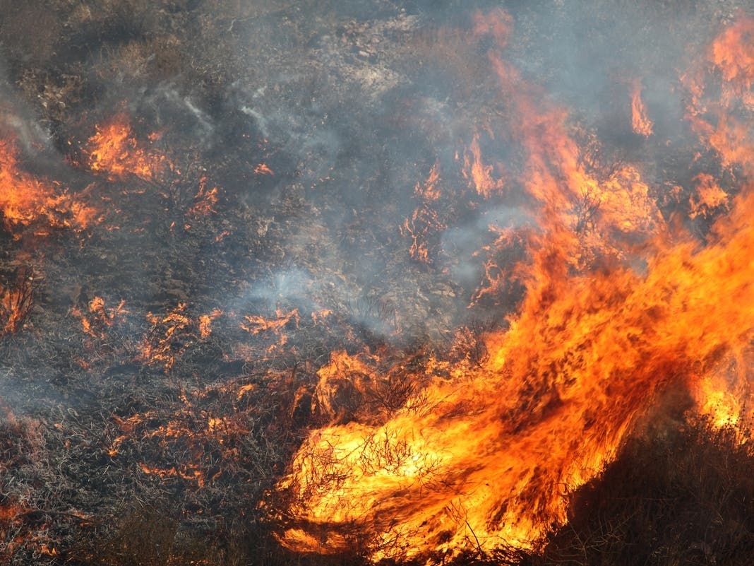
The burn-scarred slopes -- the result of the August Holy Fire that began on the Orange County side of the Cleveland National Forest -- are highly susceptible to heavy runoff that could prove damaging, according to county officials.
Multiple community meetings have been held over the last two months to inform residents of the risks and what to do in the event of a big storm. The Holy Fire, allegedly the work of an arsonist, scorched roughly 23,000 acres.
Officials are not anticipating flooding in the burn zone created by the 13,000-acre Cranston Fire in the San Jacinto Mountains, in the vicinity of Mountain Center.
The storm, packing 30 mph winds, will spread southeast into Southern California Wednesday afternoon and the heaviest rainfall is expected late Thursday morning into Thursday night, according to the NWS.
"Light rainfall is expected to develop this evening, with heavier rainfall developing on the south-facing coastal slopes of the San Bernardino Mountains toward daybreak on Thursday. Rainfall rates of around one-half inch per hour will be possible on southwest facing mountain slopes," NWS forecasters said in a statement. "These rainfall rates are capable of causing local urban flooding, ponding of water in poorly drained areas and deadly mud slides and debris flows on and below recent burn areas."
Snow levels will drop to about 7,000 feet as the system unwinds Thursday. High temperatures Wednesday are expected to reach 70 degrees in Riverside, 69 in the county mountains, 77 in the San Gorgonio Pass near Banning and 79 in the Coachella Valley.
A weaker storm system is predicted to sweep into the region on Saturday.
— City News Service contributed to this report / Image via Shutterstock
Get more local news delivered straight to your inbox. Sign up for free Patch newsletters and alerts.