Crime & Safety
From Orbit To Foothills: How CA Is Deploying New Tech To Catch Wildfires In Minutes
With high-severity fires up thirtyfold in recent decades, local and state officials are using technology to save lives and property.


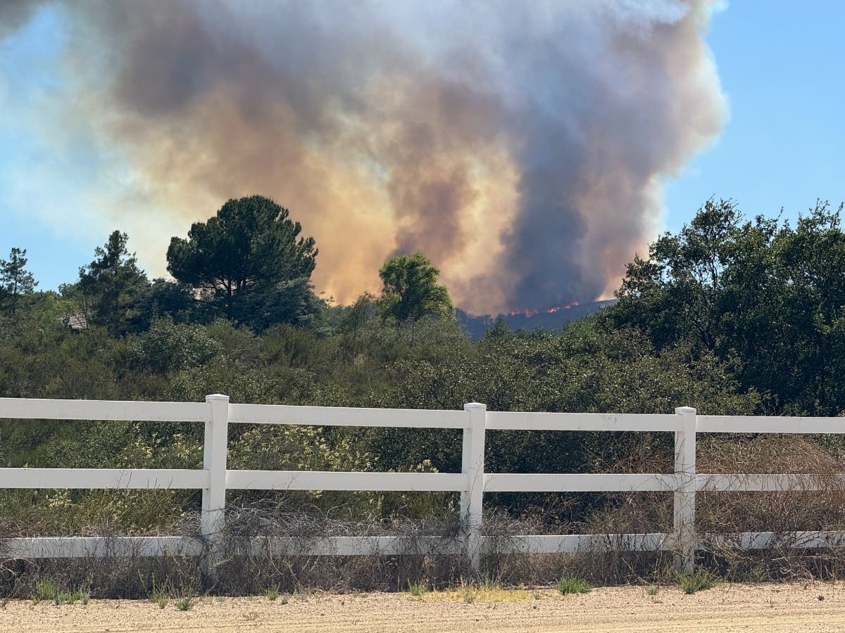
Facing increasingly destructive wildfire seasons driven by climate change, California is ramping up its defenses with a new wave of multimillion-dollar detection technologies, from ground-level heat sensors to orbit-bound satellites.
On Monday, city officials in Rancho Cucamonga unveiled the state’s first community deployment of an automated, ground-based heat-detection system designed to catch blazes in their infancy before they can reach nearby homes.
The deployment comes as new research led by UCLA paints a stark picture of the region's fire crisis. According to the study published in PNAS, forest fires in the western U.S. now burn 10 times as much acreage annually as they did in 1985. High-severity fires in California have increased thirtyfold over the same period, with state data showing eight of the 10 largest wildfires in California’s history occurring within the last decade.
Find out what's happening in Temeculafor free with the latest updates from Patch.
“These high-severity, forest-replacing fires used to be uncommon, and now it’s the dominant fire type,” said Park Williams, a UCLA geography professor and senior author of the study.
Researchers point to rising atmospheric dryness alongside decades of fuel accumulation from past fire suppression as primary drivers, making rapid detection in populated areas critical.
Find out what's happening in Temeculafor free with the latest updates from Patch.
Rancho Cucamonga's new system, called FIREBird, uses thermal sensors, cameras, and artificial intelligence to pinpoint fires as small as 5 by 5 feet within minutes of ignition. Local fire officials hope the technology will drastically cut response times in the wildland-urban interface along the San Gabriel Mountains—a Very High Fire Hazard Severity Zone known for rugged terrain and powerful Santa Ana winds.
"The FIREBird system has the potential to save lives and property," Rancho Cucamonga Fire Chief Mike McCliman said. "Early detection allows local jurisdictions to effectively respond to wildfires at their earliest stage, with a goal to minimize fire spread and decrease the overall number of resources committed to an incident."
Unlike conventional camera systems that require visible smoke, the autonomous units detect heat signatures up to a half-mile away, operating day or night through fog, clouds, or heavy wind without human monitoring.
When heat is detected, the unit automatically transmits the location, live images, and weather data directly into the city's dispatch system via FirstNet, a nationwide public safety network built with AT&T.
The deployment, developed by Azusa-based Lindsey FireSense, LLC, was funded through state budget appropriation SB 178.
The push for automated alerts follows recent disasters where technology lagged behind reality. During the January 2025 Southern California firestorm, both the fatal Eaton Fire and the Palisades Fire were first reported by 911 callers rather than detection systems.
"The possibilities of emerging technology in early wildfire detection today become an on-the-ground reality," said Jack McCall, CEO of Lindsey FireSense.
While Rancho Cucamonga guards the ground, state and private partners are looking to the skies.
The California Department of Forestry and Fire Protection (CAL FIRE)—the third-largest fire department in the nation, protecting 33 million acres—has partnered with FireSat, a new global satellite constellation designed to track fires from space.
Earlier this month, three satellites built by San Jose-based Muon Space launched from Vandenberg Space Force Base, marking FireSat’s first phase. Backed by $69 million in grants from the Bezos Earth Fund, Google, and the Gordon and Betty Moore Foundation, the Earth Fire Alliance project will eventually collect high-resolution imagery of global fire conditions every 20 minutes.
While experts agree tech investments and land management practices—such as brush clearing and prescribed burns—are crucial, climate factors remain the underlying hurdle.
“Among the largest drivers of burn severity are the warming and drying of the atmosphere, which no amount of forest thinning can change,” said lead study author Mitchell Hung, an earth-systems researcher. “But even though forest management alone can’t solve the problem statewide, for individual locations, making good forest management decisions can help alleviate the risk.”
Get more local news delivered straight to your inbox. Sign up for free Patch newsletters and alerts.