Weather
Thunderstorms, Rain A Part Of CT's Memorial Day Weekend Forecast: What To Know
If you have outdoor plans this Memorial Day weekend in Connecticut, there are two days that definitely look much better.

CONNECTICUT — If you have outdoor plans this upcoming Memorial Day weekend, Sunday and Monday are definitely your best bets. Both days will feature an abundance of sunshine and temperatures in the 80s.
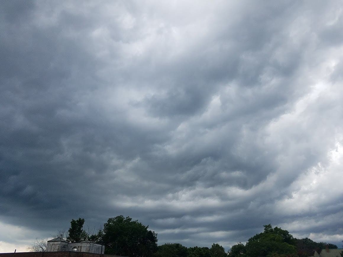
Saturday isn't expected to be a washout, but beginning on Friday, there is a chance of rain and thunderstorms both days. The odds for rain and thunderstorms on Saturday are currently around 50-60 percent, and it will be mostly cloudy for both days.
The weather service said, "A broken line of heavy showers and thunderstorms is expected to approach the area from the west into the late afternoon and evening" on Friday. There is a "marginal" risk that some storms may be severe, especially in western portions of the state.
Find out what's happening in Across Connecticutfor free with the latest updates from Patch.
"The main threat for any thunderstorm will be for damaging wind gusts up to 60 mph in addition to heavy rainfall," the weather service said.
Because the storm system is a slow-mover, this is why the chance for more rain showers and thunderstorms continues Saturday morning and through the afternoon hours, the weather service said. Once the system moves through Saturday, the remainder of the weekend looks almost perfect.
Find out what's happening in Across Connecticutfor free with the latest updates from Patch.
Accuweather.com said in its forecast that "Even though it is unlikely to rain the entire time anywhere in the region from Friday evening through Saturday, embedded within the showers will be localized torrential downpours and pockets of robust thunderstorms. A few areas could be saddled with brief flooding issues and/or damaging wind gusts and frequent lightning strikes. A general 0.50 of an inch to 1.50 inches of rain is forecast to fall with locally higher amounts spread mainly over the first third of the three-day-long weekend." (Find your hyperlocal forecast via Accuweather.com here).
See also: $1.3M Lottery Winner Sold + Runaway Horse ‘Arrested’: CT News
Roving DUI patrols announced/ Grandmother, granddaughter to graduate together/ Officers help save distressed person's life/ Student honored.>>>Read More.
Here are the forecast details for southern Connecticut:
Today: Partly sunny, with a high near 68. Light southeast wind becoming south 6 to 11 mph in the morning.
Tonight: A 30 percent chance of showers or drizzle. Patchy fog after 2am. Otherwise, mostly cloudy, with a low around 59. South wind around 6 mph.
Friday: A slight chance of showers or drizzle before 11am, then a chance of showers, mainly after 2pm. Patchy fog before 8am. Otherwise, cloudy, with a high near 74. South wind 7 to 14 mph. Chance of precipitation is 40%.
Friday Night: A chance of showers and thunderstorms, then showers likely and possibly a thunderstorm after 8pm. Cloudy, with a low around 62. South wind 8 to 11 mph. Chance of precipitation is 70%. New rainfall amounts between a quarter and half of an inch possible.
Saturday: A 50 percent chance of showers and thunderstorms. Mostly cloudy, with a high near 76. Southwest wind 8 to 11 mph.
Saturday Night: Mostly cloudy, with a low around 59.
Sunday: Mostly sunny, with a high near 76.
Sunday Night: Partly cloudy, with a low around 59.
Memorial Day: Mostly sunny, with a high near 81.
Monday Night: Partly cloudy, with a low around 63.
Here are the forecast details for northern Connecticut:
Today: Partly sunny, with a high near 74. Light south wind increasing to 6 to 11 mph in the morning. Winds could gust as high as 22 mph.
Tonight: A slight chance of showers after 10pm. Increasing clouds, with a low around 60. South wind 6 to 10 mph. Chance of precipitation is 20%.
Friday: A chance of showers, with thunderstorms also possible after 5pm. Cloudy, with a high near 78. South wind 8 to 11 mph, with gusts as high as 24 mph. Chance of precipitation is 40%. New rainfall amounts of less than a tenth of an inch, except higher amounts possible in thunderstorms.
Friday Night: Showers likely and possibly a thunderstorm. Patchy fog after 9pm. Otherwise, cloudy, with a low around 64. South wind around 11 mph, with gusts as high as 21 mph. Chance of precipitation is 70%. New rainfall amounts between a quarter and half of an inch possible.
Saturday: A chance of showers and thunderstorms, then showers likely and possibly a thunderstorm after 1pm. Mostly cloudy, with a high near 78. South wind 7 to 10 mph. Chance of precipitation is 60%.
Saturday Night: A chance of showers and thunderstorms before 8pm, then a slight chance of showers between 8pm and 11pm. Partly cloudy, with a low around 59. West wind around 6 mph becoming calm in the evening. Chance of precipitation is 30%.
Sunday: Mostly sunny, with a high near 81. Light and variable wind becoming north around 5 mph in the morning.
Sunday Night: Partly cloudy, with a low around 59. South wind around 5 mph becoming calm in the evening.
Memorial Day: Mostly sunny, with a high near 87. Calm wind becoming southwest around 6 mph in the afternoon.
Monday Night: Mostly cloudy, with a low around 65. South wind 3 to 6 mph.
Get more local news delivered straight to your inbox. Sign up for free Patch newsletters and alerts.