Weather
Hour-By-Hour Forecast Of Snow On President's Day: CT Weather
Snow estimates continue to rise tonight. If you have to work Monday, here's an updated look at what you can expect.

A Winter Weather Advisory continues to be in effect for all of Connecticut tonight and President's Day morning as a few inches or more of snow is expected to fall. It appears the best chance for the most snow is in northern sections of the state. Fortunately, schools are closed and some employees have the day off due to the federal holiday.
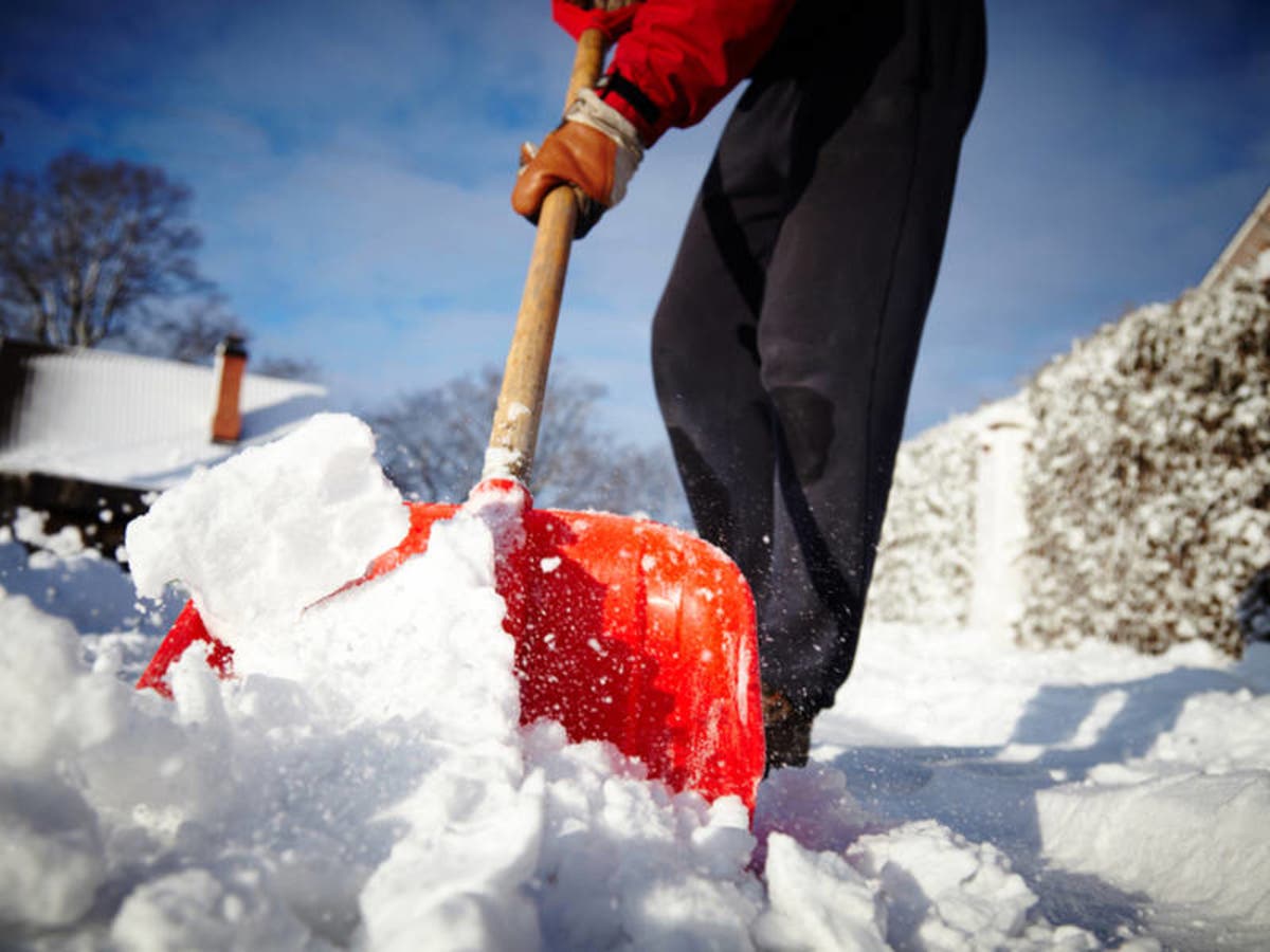
But for those of us who have to work Monday, the commute in the morning is expected to be a difficult one. Snowfall rates may approach an inch per hour at times overnight, the National Weather Service says.
Here are the latest snow and ice projections via the National Weather Service:
Find out what's happening in Across Connecticutfor free with the latest updates from Patch.
Southern Connecticut: "Snow and mixed precipitation expected. Total snow accumulations of 2 to 4 inches and ice accumulations of a light glaze expected. Snowfall rates of 1/2 to 1 inch per hour possible overnight. Plan on slippery road conditions. The hazardous conditions will impact the morning commute for those working or going to school on Washington`s Birthday."
Northern Connecticut: "Snow expected. Total snow accumulations of 3 to 6 inches expected. Heaviest snow occurs overnight into early morning Monday. The result will be hazardous travel for the morning commute with snow covered roads and poor visibility. Generally lighter snow will linger later in the morning and afternoon..."
Find out what's happening in Across Connecticutfor free with the latest updates from Patch.
Here is an hour-by-hour look of snow and ice in Connecticut via the National Weather Service and The Weather Channel:
Fairfield County:
8 p.m.: 30 degrees; 40 percent chance of snow
11 p.m.: 29 degrees; 80 percent chance of snow
2 a.m.: 29 degrees; 100 percent chance of snow
5 a.m.: 30 degrees; 85 percent chance of snow
8 a.m.: 31 degrees; 65 percent chance of snow
11 a.m.: 33 degrees; 35 percent chance of snow
Snow begins around 10 p.m. and continues until 6 a.m. A total of 3.3 inches of snow is expected and freezing rain and sleet mixes in from 5 a.m. until 9 a.m. Light snow is also possible from 11 a.m. until 2 p.m. with very minor additional accumulation possible.
New Haven County:
8 p.m.: 30 degrees; 32 percent chance of snow
11 p.m.: 30 degrees; 89 percent chance of snow
2 a.m.: 30 degrees; 90 percent chance of snow
5 a.m.: 30 degrees; 85 percent chance of snow
8 a.m.: 30 degrees; 65 percent chance of snow
11 a.m.: 33 degrees; 35 percent chance of snow
Snow begins around 9 p.m. and continues until 6 a.m. A total of 3.2 inches of snow is expected and freezing rain and sleet mixes in from 4 a.m. until 9 a.m. Light snow is also possible from 11 a.m. until 2 p.m. with very minor additional accumulation possible.
Middlesex County:
8 p.m.: 30 degrees; 20 percent chance of snow
11 p.m.: 29 degrees; 75 percent chance of snow
2 a.m.: 29 degrees; 96 percent chance of snow
5 a.m.: 30 degrees; 96 percent chance of snow
8 a.m.: 29 degrees; 72 percent chance of snow
11 a.m.: 32 degrees; 58 percent chance of snow
Snow begins around 10 p.m. and continues until 6 a.m. A total of 4.1 inches of snow is expected and freezing rain and sleet mixes in from 5 a.m. until 8 a.m. Light snow is also possible from 11 a.m. until 2 p.m. with very minor additional accumulation possible.
New London County:
8 p.m.: 31 degrees; 32 percent chance of snow
11 p.m.: 31 degrees; 75 percent chance of snow
2 a.m.: 31 degrees; 95 percent chance of snow
5 a.m.: 31 degrees; 95 percent chance of snow
8 a.m.: 32 degrees; 65 percent chance of snow
11 a.m.: 34 degrees; 55 percent chance of snow
Snow begins around 9 p.m. and continues until 6 a.m. A total of 2.7 inches of snow is expected and freezing rain mixes in from 4 a.m. until 9 a.m. Light snow is also possible from 11 a.m. until 2 p.m. with very minor additional accumulation possible.
Hartford County:
Tonight: A chance of snow this evening, then snow after midnight. Snow accumulation of 2 to 4 inches. Lows in the mid 20s. South winds around 5 mph, becoming east after midnight. Chance of snow near 100 percent.
Washington's Birthday: Snow with a chance of freezing drizzle in the morning, then snow likely in the afternoon. Total snow accumulation of 4 to 6 inches. Near steady temperature around 30. North winds 5 to 10 mph. Chance of precipitation near 100 percent.
According to the Weather Channel there is a 70 percent chance of snow at 11 p.m. and it remains an 85 percent chance of snow from midnight until 6 a.m. By 10 a.m. the snow chance drops to 50 percent.
Tolland County:
Tonight: A chance of snow this evening, then snow after midnight. Snow accumulation of 2 to 4 inches. Lows in the mid 20s. South winds around 5 mph, becoming east after midnight. Chance of snow near 100 percent.
Washington's Birthday: Snow with a chance of freezing drizzle in the morning, then snow likely in the afternoon. Total snow accumulation of 4 to 6 inches. Near steady temperature around 30. Northeast winds around 5 mph, becoming north in the afternoon. Chance of precipitation near 100 percent.
According to the Weather Channel there is a 60 percent chance of snow at 11 p.m. and from midnight until 8 a.m. there is an 80 percent chance or greater for snow. By 9 a.m. the chance for snow drops to 55 percent and to just 35 percent by 10 a.m.
Windham County:
Tonight: A chance of snow this evening, then snow after midnight. Snow accumulation of 3 to 5 inches. Lows in the mid 20s. South winds around 5 mph, becoming east after midnight. Chance of snow near 100 percent.
Washington's Birthday: Snow with a chance of freezing drizzle in the morning, then snow likely in the afternoon. Total snow accumulation of 4 to 6 inches. Near steady temperature around 30. North winds around 5 mph. Chance of precipitation near 100 percent.
According to the Weather Channel there is a 60 percent chance of snow at 11 p.m. and from midnight until 8 a.m. there is an 80 percent chance or greater of snow. By 9 a.m. the chance of snow drops to 55 percent and at 10 a.m. the chance of snow declines to 35 percent.
Litchfield County:
Tonight: Snow, mainly after 11pm. Low around 23. South wind 6 to 8 mph becoming east after midnight. Chance of precipitation is 100%. Total nighttime snow accumulation of 2 to 4 inches possible.
Washington's Birthday: Snow, possibly mixed with freezing rain, becoming all snow after noon. High near 32. Northeast wind around 8 mph becoming northwest in the afternoon. Chance of precipitation is 90%. Little or no ice accumulation expected. New snow accumulation of around an inch possible.
According to the Weather Channel there is a 65 percent chance of snow at 11 p.m. and from midnight until 7 a.m. there is an 80 percent chance or greater of snow. By 9 a.m. the chance of snow drops to 45 percent and at 10 a.m. the chance of snow declines to 35 percent.
Connecticut's weather experts predictions:
Totals are going up just a smidge. Nothing major regarding timing. Still looks to get slick after midnight and be a tough morning drive for Monday. See you on @wtnh with more. pic.twitter.com/kw2yW0l3dr
— Sam Kantrow (@SamKantrow) February 17, 2019
Latest models showing a bit more snow for inland towns. Nevertheless still plowable snow for tonight/tomorrow. Start time around 9-10pm this evening moving NE, light persistent snow falling through Monday afternoon. pic.twitter.com/ZfOf7YVtES
— Rachel Piscitelli (@RachPiscitelli) February 17, 2019
Here is 6A tomorrow, if you don't have off expect some slick spots on the roads. We'll have you covered tonight at 10 as the snow starts. You can also tune in tomorrow starting at 4A for the latest on the roads & weather conditions if you have to head out pic.twitter.com/MJgTzzrOHk
— Rachel Piscitelli (@RachPiscitelli) February 17, 2019
Timing and totals--> #nbcct pic.twitter.com/lYQfK6UEZd
— Kaitlyn McGrath (@KaitMcGrathNBC) February 17, 2019
(Keep up with CT events and news by subscribing to Patch to receive daily newsletters and breaking news alerts.)
Image via Shutterstock
Get more local news delivered straight to your inbox. Sign up for free Patch newsletters and alerts.


