Business & Tech
State is Changing – For Data Purposes – Which Towns Hang Together
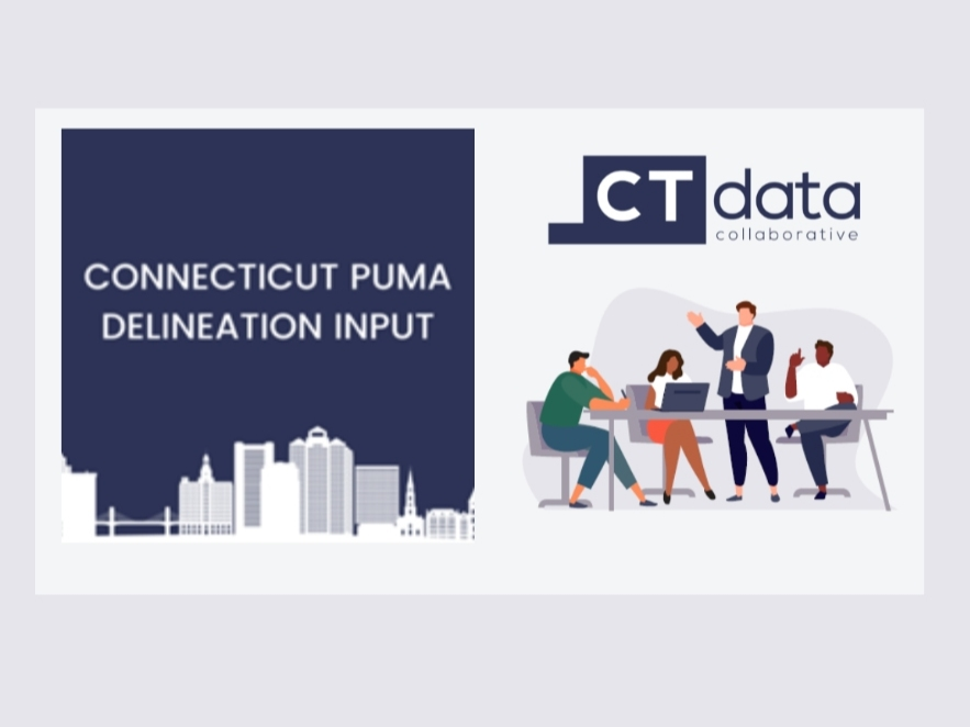
Public Use Microdata Areas For Next Decade Being Decided Now; Public Comment Sought at Jan. 5 Virtual Hearing Ahead of Jan. 31 Deadline
Public Use Microdata Areas, known as PUMAs, are geographies that include multiple towns and allow the public to access data for an entire region that is not available in other ways. The aggregated data allows people to analyze relationships between economic, demographic, or housing variables, or create new measures that aren’t included in the standard data tables released periodically by the U.S. Census Bureau.
PUMAs are the smallest geographic area available for public use microdata from the Census; next is statewide data. PUMAs allow data users to cross-tabulate across various topics while providing the option to disaggregate on a deeper level, to develop answers to an almost limitless range of questions that can have an impact on public policy decisions, business decisions, and much more.
Nonprofits, business leaders, and municipal leaders, among others, can answer these kinds of questions about their PUMA region: What is the number of children who are preschool age? What is the number of adults who are veterans in a region among different demographic groups? What are the migration patterns in an area? How many youth are not in school and not employed?
Find out what's happening in Across Connecticutfor free with the latest updates from Patch.
Since the 2010 Census, the 26 PUMAs in Connecticut have been groupings of contiguous towns all contained within one of Connecticut’s eight counties. Because planning in Connecticut is not done by counties, but by planning regions, the state is shifting to planning regions as the overarching boundaries to which PUMAs must adhere, rather than county lines. That means that they PUMAs, in many cases, need to be redrawn.
The delineation of new PUMAs is coordinated by State Data Centers (SDCs) in every state. In Connecticut, the organization designated as the SDC is the Connecticut Data Collaborative (CTData), a public-private partnership that advocates for the public availability of open and accessible data. CTData serves as the lead organization in the U.S. Census Bureau’s State Data Center Program for Connecticut and is the state’s official source for census data.
Find out what's happening in Across Connecticutfor free with the latest updates from Patch.
As it develops Connecticut’s new PUMA boundaries, which must be submitted to the U.S. Census Bureau by January 31, 2022, CTData is seeking public feedback, particularly from municipalities, businesses, nonprofits or organizations that have utilized PUMA-level data in the past, to make the new boundaries as useful as possible the future. A virtual Community Event is planned for January 5 at 10:00 AM, to provide an opportunity for Connecticut residents to share their opinions, recommendations, and expertise. Individuals can sign up now at www.ctdata.org.
In some regions of the state, because of the population requirements for PUMAs (above 100,000 in population, and below 200,000) the fit is easier than in others. Some regions present additional questions in need of answers, and public input – particularly among data users - is extremely useful. For example, when looking at aggregated regional data:
- In the Western planning region, should Darien be with Norwalk and Westport or with its northern neighbors New Canaan and Wilton? Should Danbury be with Ridgefield and Redding or with Bethel and Newtown?
- Southwestern planning region can have two PUMAs, and could have all the shoreline towns in one PUMA and all the inland towns in another PUMA. Does this combination seem most appropriate, or is there a better way?
- Northeastern planning region has fewer than 100,000 residents, so an additional town or two from Southeastern planning region needs to be included. Which one?
- In the Capital region, does it make the most sense for Bloomfield to be in the same PUMA as West Hartford and Simsbury, or with Windsor and Windsor Locks? Should more rural communities such as Marlborough accompany Glastonbury in a PUMA east of the city, or be included in an overall more rural, eastern part of the Capital Region COG?
- There will be multiple Naugatuck Valley PUMAs – in which should Middlebury and Southbury be included, for example? Which towns should they be accompanied by, for data purposes, that would be most useful?
Based on the current U.S. Census Bureau timetable, data utilizing the new configuration of PUMAs should be available online next summer, and remain in place for a decade.
The Connecticut Data Collaborative runs the CTData Academy, offering an array of workshops and training for people interested in improving their data literacy, providing opportunities for individuals, businesses and organizations to become more informed data users and critical data consumers. In addition, CTData provides customized data training, creates customized data visualizations and interactive data tools, provides data consulting services, and supports a community of data users through events and conferences.
More than 200 data sets are now accessible to the public on the CTData website, including a wide array of subjects and policy categories. CTData was recognized last year by the Connecticut Entrepreneur Awards in the Education category. More information is available at www.ctdata.org.