Community Corner
WEATHER UPDATE: 'Plowable' Snow, Below-Zero Wind Chills, and Dangerous Winds Forecast for Branford
We'll let you know when the snow is supposed to be at its worst on Valentine's Day.

The only good news in the latest forecast for Connecticut is that if you don’t mind eating dinner early on Valentine’s Day you should be able to beat most of the heavier snow that is predicted to fall on Saturday.
Connecticut meteorologists are still predicting up to six inches of snow to accumulate beginning as light snow around noon on Saturday and ending by noon on Sunday. But they caution that the gusty winds may pose the biggest issue come Sunday with gusts reaching 60 mph.
Here are the latest weather advisories. A wind chill advisory is in effort for Hartford, Tolland, northern Fairfield and New Haven counties.
Find out what's happening in Branfordfor free with the latest updates from Patch.
A Winter Storm Watch has been issued for New Haven, Hartford, Tolland, Middlesex, and New London counties. A Winter Weather Advisory is in effect for Fairfield County.
WFSB 3 Meteorologist Mark Dixon predicts 6-10 inches of snow for eastern Connecticut with the highest amounts near the Rhode Island border, 4-8 inches for the central portion of the state and about 3-6 inches for the western part of the state.
Find out what's happening in Branfordfor free with the latest updates from Patch.
WTNH News 8 Meteorologist Gil Simmons is predicting light snow to begin between 11-2 p.m. on Saturday and continue to fall lightly until 9 p.m. The heaviest snow is forecast from 10 p.m. on Saturday through 10 a.m. on Sunday.
After the snow ends, temperatures will struggle to hit single digits on Sunday and winds will gust between 40-60 mph.
And a significant snowstorm is also in the forecast for Tuesday night and into Wednesday. It’s possible six or more inches could accumulate, WFSB 3 TV predicts.
Here is the National Weather Service’s latest hyperlocal forecast for Branford.
Tonight, Partly cloudy, with a low around 6. Northwest wind around 6 mph becoming calm in the evening. Winds could gust as high as 20 mph.
Saturday Snow, mainly after 2pm. High near 31. Wind chill values between 10 and 20. Calm wind becoming south 5 to 9 mph in the morning. Chance of precipitation is 80%. New snow accumulation of around an inch possible.
Saturday Night Snow. Low around 18. Wind chill values between 5 and 10. South wind 6 to 16 mph becoming northwest in the evening. Winds could gust as high as 26 mph. Chance of precipitation is 90%. New snow accumulation of 3 to 5 inches possible.
Sunday Snow likely, mainly before noon. Mostly cloudy and cold, with a temperature falling to around 14 by 5pm. Wind chill values between -5 and 5. Windy, with a northwest wind 18 to 26 mph, with gusts as high as 47 mph. Chance of precipitation is 70%. New snow accumulation of 1 to 2 inches possible.
Sunday Night Partly cloudy, with a low around -1. Blustery, with a northwest wind 17 to 22 mph, with gusts as high as 36 mph.
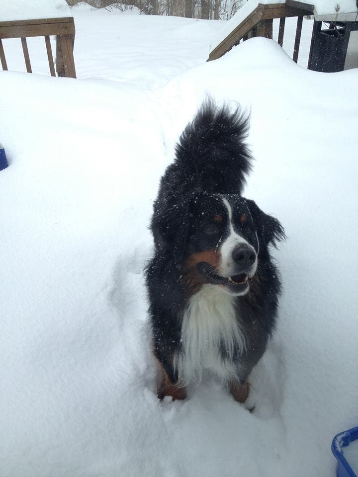
User Submitted image via Jeff Caporaso
Get more local news delivered straight to your inbox. Sign up for free Patch newsletters and alerts.