Weather
Connecticut Weather: Hour-By--Hour Forecast Of Snow/Ice Storm
The National Weather Service's estimations of snow, sleet, freezing rain and temperatures for Connecticut, broken down county-by-county.

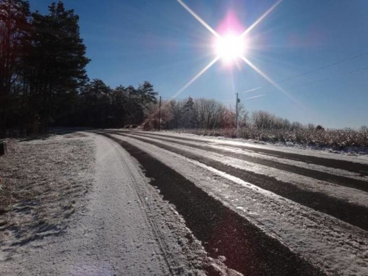
A Winter Weather Advisory and Wind Advisory remain in effect for the entire state of Connecticut for Christmas Eve/Christmas morning. However, the major concern with this precipitation is not heavy snow accumulating, but the fact sleet and freezing rain is expected to fall in the overnight hours.
A period of icing is expected across the state, which could make travel very slippery on Christmas morning. By noon most of the state will be in the upper 30s to near 40 degrees. It will feel much colder as the state could experience wind gusts approaching 30 to 40 mph.
The National Weather Service is saying up to two inches of snow and ice is possible for southern Connecticut and between 2 and 4 inches of snow and ice for Hartford and Tolland counties.
Find out what's happening in Darienfor free with the latest updates from Patch.
Temperatures will nosedive beginning on Tuesday continuing into next weekend. Connecticut won’t see the freezing mark for several days and temps at night could be in the single digits.
Here is an hour-by-hour look at the wintry weather on Christmas morning across Connecticut:
Find out what's happening in Darienfor free with the latest updates from Patch.
Coastal sections of Fairfield County:
12 a.m. 37 degrees; 80 percent chance of precipitation
3 a.m. 34 degrees; 80 percent chance of precipitation
6 a.m. 33 degrees; 20 percent chance of precipitation
9 a.m. 35 degrees; 12 percent chance of precipitation
Snow is likely from 2 a.m. to 7 a.m. and accumulating 0.9 tenths of an inch. Some rain may mix in too from 10 p.m. to 5 a.m. Sleet may mix in from 2 a.m. to 3 a.m.
Inland sections of Fairfield County:
12 a.m. 32 degrees; 70 percent chance of precipitation
3 a.m. 31 degrees; 85 percent chance of precipitation
6 a.m. 30 degrees; 80 percent chance of precipitation
9 a.m. 29 degrees; 25 percent chance of precipitation
Noon: 35 degrees; 10 percent chance of precipitation
Snow: 1.5 inches, Freezing rain, a tenth of an inch, Sleet, a trace amount
Snow is expected to begin around 10 p.m. and continue until 8 a.m. Freezing rain will mix in from 2 a.m. to 5 a.m. and sleet will also mix in from 2 a.m. to 3 a.m. Precipitation ends by 10 a.m.
Coastal areas of New Haven County:
12 a.m. 35 degrees; 79 percent chance of precipitation
3 a.m. 33 degrees; 79 percent chance of precipitation
6 a.m. 34 degrees; 30 percent chance of precipitation
9 a.m. 35 degrees; 25 percent chance of precipitation
Noon: 40 degrees; 8 percent chance of precipitation
Snow: 0.7 tenths of an inch with a slight amount of sleet
Rain could begin after 10 p.m. and change to a mix of rain, sleet and snow from 2 a.m. until 7 a.m. and then ends as light rain by 10 a.m.
Inland areas of New Haven County:
12 a.m. 34 degrees; 77 percent chance of precipitation
3 a.m. 33 degrees; 75 percent chance of precipitation
6 a.m. 31 degrees; 75 percent chance of precipitation
9 a.m. 32 degrees; 30 percent chance of precipitation
Noon: 37 degrees; 10 percent chance of precipitation
Snow: 1.3 inches of snow with a slight amount of sleet
Snow could begin after 10 p.m. and sleet and freezing rain will mix in from 2 a.m. until 7 a.m. Around 8 a.m. to 10 a.m. there may be a mix of rain/snow and then the precipitation ends.
Middlesex County:
12 a.m. 32 degrees; 77 percent chance of precipitation
3 a.m. 31 degrees; 78 percent chance of precipitation
6 a.m. 31 degrees; 80 percent chance of precipitation
9 a.m. 31 degrees 35 percent chance of precipitation
Noon: 35 degrees 10 percent chance of precipitation
Snow: 1.3 inches, Freezing rain and ice mix in
Snow could begin after 10 p.m. and freezing rain and sleet is expected to mix in from 2 a.m. until 7 a.m. There could be a light mix of rain/snow from 8 a.m. until 10 a.m.
New London County:
12 a.m. 35 degrees; 77 percent chance of precipitation
3 a.m. 34 degrees; 78 percent chance of precipitation
6 a.m. 32 degrees; 79 percent chance of precipitation
9 a.m. 33 degrees; 30 percent chance of precipitation
Noon: 39 degrees; 10 percent chance of precipitation
Snow: 1.1 inches, some ice too
Snow and rain could begin after 10 p.m. and sleet could mix in with the rain and snow from midnight until 5 a.m. The precipitation will end as some plain snow from 6 a.m. until 9 a.m.
Hartford County:
12 a.m. 30 degrees; 60 percent chance of precipitation
3 a.m. 32 degrees; 85 percent chance of precipitation
6 a.m. 33 degrees; 85 percent chance of precipitation
9 a.m. 34 degrees; 40 percent chance of precipitation
Noon: 35 degrees; 10 percent chance of precipitation
Snow: 1 inch, some ice too
Snow begins around midnight and ends around 8 a.m. Rain and sleet mixes in from 3 a.m. until 8 a.m.
Tolland County:
12 a.m. 29 degrees; 60 percent chance of precipitation
3 a.m. 31 degrees; 89 percent chance of precipitation
6 a.m. 33 degrees; 88 percent chance of precipitation
9 a.m. 33 degrees; 50 percent chance of precipitation
Noon: 32 degrees; 15 percent chance of precipitation
Snow: 1.5 inches, some ice too
Snow begins around midnight and mixes with sleet and freezing rain from 2 a.m. until 7 a.m. Precipitation ends by 11 a.m.
Image via Shutterstock.com
Get more local news delivered straight to your inbox. Sign up for free Patch newsletters and alerts.