Weather
Connecticut Weather: Snow Accumulation Estimates Released
New computer models and data were released today, which has led to snow accumulation estimates for Connecticut. Here's the latest.

As of Tuesday morning it appears that a very powerful storm will only have fringe effects on Connecticut. Yes, Connecticut is expecting to see snow all day on Thursday, possibly beginning before the morning commute and lasting through the evening commute. And wind gusts may reach 40 mph too on Thursday.
But it's expected that this significant winter storm will track far enough away from Connecticut that we'll avoid major snow accumulation. What the storm will do is usher in a new arctic blast which will leave daytime highs on Friday and Saturday around 10 degrees.
If the storm were to track closer to Connecticut, which of course is still possible, we could be looking at blizzard-like conditions on Thursday. But new computer models show the storm tracking far enough away from us.
Find out what's happening in Darienfor free with the latest updates from Patch.
The National Weather Service and Connecticut meteorologists are predicting a wide range of 1 to 5 inches of snow on Thursday. Areas to the north and east will see the most snow, which could be around 5 to 6 inches. Areas to the far west may only end up with 1 to 3 inches, as it's the farthest from the storm.
WTNH News 8 Meteorologist Gil Simmons said, "A very cold day ahead! Highs 19 to 23 with the wind chill all day 0 to 9. Dry today & tomorrow followed by snow Thursday. School issues likely Thursday & snow for both commutes. My early thoughts on accumulation: 1” to 5”. Stay tuned as a closer track possible and that will raise amounts!"
Find out what's happening in Darienfor free with the latest updates from Patch.
WFSB 3 TV Meteorologist Scot Haney said the storm "could bring 4 to 6 inches to northeast and southeast Connecticut and 1 to 3 inches for the rest of the state."
"Those are preliminary numbers and are subject to change," Haney said for WFSB 3 TV. "It's all dependent on the track of this storm system."
Fox 61 Meteorologist Rachel Frank said, "Snow and gusty winds Thursday from big offshore storm. Right now we think the worst stays out to sea. Light (maybe moderate) snow accumulations. While less likely, a more direct hit is still too close for comfort. Hoping it's less of a nail biter tomorrow."
The National Weather Service says six inches of snow is still possible, especially across southeastern Connecticut, and that the state is still looking "at least a light accumulating snowfall."
See also: Celebrity Chef Taken Off TV Show; Landmark Pizzeria Sold: CT News
Bridal Shop Closes Abruptly; Beloved Teen Mourned: CT News
Here is the updated weather forecast for southern Connecticut:
Today: Sunny, with a high near 24. Wind chill values between zero and 10. West wind 10 to 13 mph.
Tonight: Clear, with a low around 11. Wind chill values between zero and 5. West wind 7 to 13 mph.
Wednesday: Sunny, with a high near 29. Wind chill values between zero and 10. West wind 5 to 7 mph becoming south in the afternoon.
Wednesday Night: Snow likely, mainly after 1am. Increasing clouds, with a low around 21. Wind chill values between 10 and 15. Light and variable wind becoming north 5 to 10 mph in the evening. Chance of precipitation is 60%. New snow accumulation of less than a half inch possible.
Thursday: Snow. High near 28. Blustery, with a north wind 11 to 20 mph. Chance of precipitation is 80%. New snow accumulation of 1 to 3 inches possible.
Thursday Night: A 40 percent chance of snow before 1am. Cloudy, then gradually becoming partly cloudy, with a low around 10.
Friday: Mostly sunny and cold, with a high near 15. Breezy.
Here is the updated weather forecast for northern Connecticut:
Today: Sunny, with a high near 20. Wind chill values as low as -9. West wind 5 to 7 mph.
Tonight: Mostly clear, with a low around 6. Southwest wind 3 to 6 mph.
Wednesday: Sunny, with a high near 26. Calm wind becoming south around 6 mph in the afternoon.
Wednesday Night: A chance of snow, mainly after midnight. Increasing clouds, with a low around 18. Calm wind becoming north around 6 mph after midnight. Chance of precipitation is 50%. New snow accumulation of less than a half inch possible.
Thursday: Snow. High near 26. North wind 9 to 16 mph, with gusts as high as 30 mph. Chance of precipitation is 80%.
Thursday Night: Snow likely, mainly before 7pm. Mostly cloudy, with a low around 7. Chance of precipitation is 60%.
Friday: Partly sunny, with a high near 12.
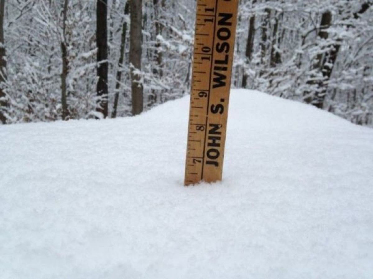
Photo credit: Lanning Taliaferro
Get more local news delivered straight to your inbox. Sign up for free Patch newsletters and alerts.


