Home & Garden
'Near Blizzard Conditions' in CT : 5 Things to Know
Winter storm watches have been issued in the southern part of Connecticut. Here are some things for residents to know.

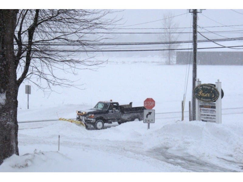
A dangerous weather system continued its way towards the Eastern seaboard Friday with forecasters warning of fierce winds and heavy snow that could bury the Mid-Atlantic states under more than two feet of snow before blizzard conditions batter parts of the Northeast, leaving another foot of snow behind.
Dubbed Winter Storm Jonas, it has already dumped a foot of snow in North Carolina. Blizzard warnings are in effect from Northern Virginia to Long Island. Major cities including Baltimore, Philadelphia, New York City and Washington D.C. are preparing for the storm where officials are warning residents to stay off the roads.
According to the Weather Channel, roughly one in four Americans in 23 states were covered by some sort of winter weather advisory or watch.
While there is no blizzard warning in effect for Connecticut, the forecast is far from innocuous.
Here are five things to know ahead of the winter storm:
What is the latest forecast in Connecticut?
Near blizzard conditions have been forecast for Fairfield, New Haven, Middlesex and New London counties. As our weather forecast noted, the closer you live to the shoreline, the more snow you are likely to receive. The conditions combined with strong gusty winds (up to 30 miles per hour) will lead to low visibility (one mile or less at a time) making travel difficult. The entire area is under a winter storm watch starting Sunday at 6 a.m. until 1 p.m. Sunday.
When will the snow start falling?
We’re still in the clear for Friday, so if you have any last minute storm preparation to do, now would be the perfect time. Beginning around 5 a.m. on Saturday, you can expect the snow to start falling in parts of the state and it won’t be until Sunday morning that we’ll see some relief, the NWS predicts.
So how much snow are we talking?
The NWS predicts snow accumulation of anywhere between two to eight inches. Be sure to check your Patch for specific snowfall totals in your town.
Are any areas not under the threat?
In Hartford and Tolland counties, the NWS has only issued a hazardous weather outlook. The area is expecting snow but it’s likely to be anywhere between 1-3 inches, which is considered modest for the region.
Are there any special weather advisories in effect?
A Coastal Flood Watch is also in effect for southern Fairfield and southern New Haven counties from Saturday evening through late Saturday night. Minor coastal flooding is possible and a warning may need to be issued for late Saturday evening.
Get more local news delivered straight to your inbox. Sign up for free Patch newsletters and alerts.


