Weather
Connecticut Weather: Thunderstorms In The Forecast
The weather in Connecticut is forecast to be unsettled over the next few days. Here's the latest details on what you can expect.

Connecticut is expected to see some unsettled weather this week as thunderstorms and showers are in the forecast for the next couple of days. The National Weather Service has issued a Hazardous Weather Outlook for Hartford and Tolland counties for a “risk for scattered strong to severe thunderstorms this afternoon in the interior. Damaging wind and hail are the primary threats.”
For the southern portion of the state, thunderstorms and showers are possible but not until after 9 p.m. tonight. More showers and storms are possible on Wednesday and early Thursday before the weather turns much better as we head into the weekend.
While we keep an eye on the weather at home, all the attention is on Hurricane Irma, which became a Category 5 hurricane Tuesday morning. As of right now, the powerful hurricane is on track to impact Florida possibly as soon as Friday. The exact track of Irma is still unknown.
Find out what's happening in Darienfor free with the latest updates from Patch.
Watch: Another Powerful Hurricane Is Taking Aim At The US
WTNH News 8 Meteorologist Gil Simmons wrote, “Good morning! Relatively quiet weather for us today. Warm & humid in those classrooms & if you work outside today. Drink water. Showers & thunderstorms tonight-tomorrow. All eyes on powerful Hurricane Irma. The Southeast still needs to watch this very closely; especially Florida! All of Florida! Take a look at the official track below & the early morning satellite image. WoW! I included the Euro model solutions too.”
Find out what's happening in Darienfor free with the latest updates from Patch.
NBC Connecticut Meteorologist Ryan Hanrahan wrote, “As Hurricane Irma strengthens the model trends are becoming more and more concerning for Florida. We're not expecting any direct impact here in Connecticut but Florida could be in trouble.”
See also: Snow Business: Legendary CT Meteorologist Predicting a 'Snowy' Winter
Here’s the updated forecast via the National Weather Service:
Tuesday: Mostly sunny, high in the low 80s. Thunderstorms and showers possible, especially in the evening. Some of the storms could produce gusty winds.
Wednesday: More showers and thunderstorms possible. High near 75 degrees. More storms and showers possible Wednesday night.
Thursday: 50 percent chance of showers. Clouds give way to sun later in the day.
Friday: Perfect day, sun and 72 degrees.
The weekend:
Saturday and Sunday: Both days exactly the same. Sun and 70 degrees.
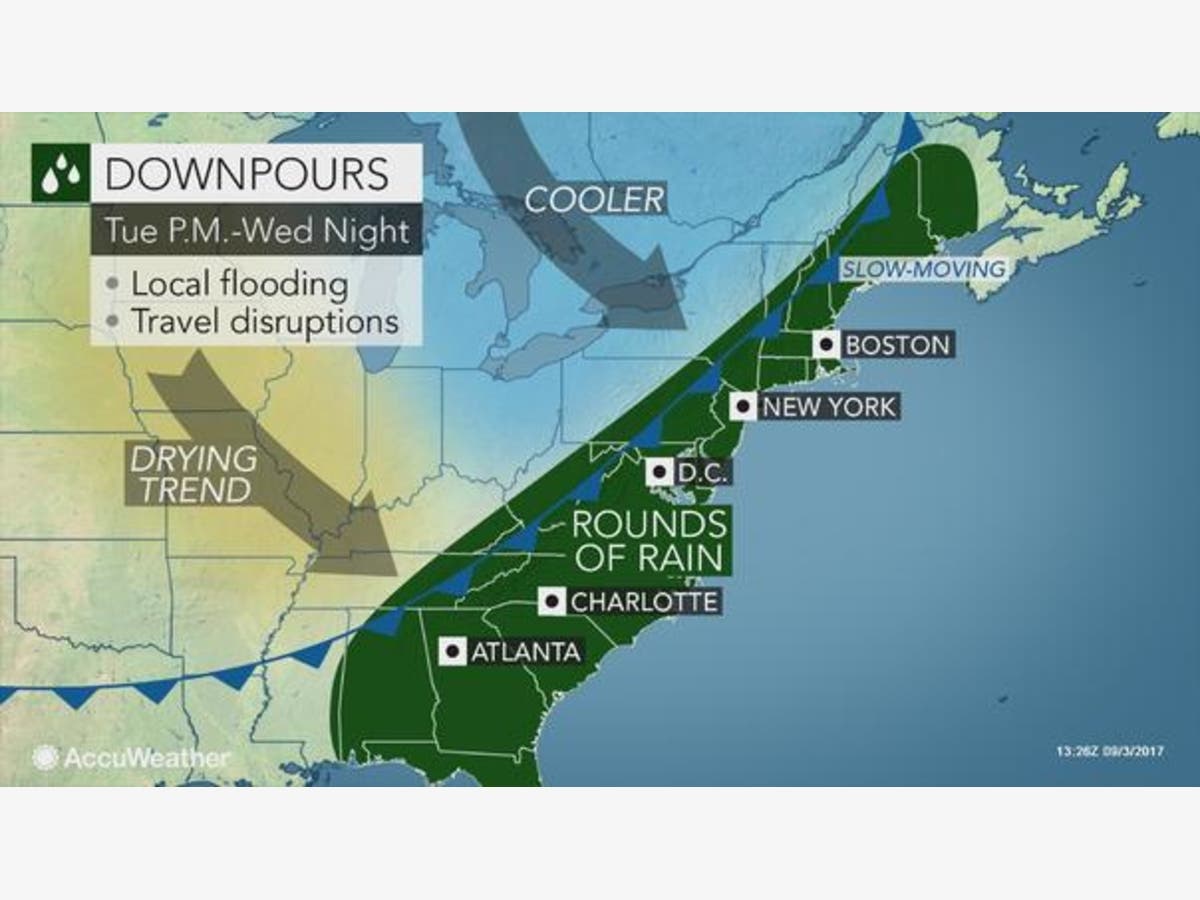
Image via Accuweather.com
Get more local news delivered straight to your inbox. Sign up for free Patch newsletters and alerts.


