Weather
Connecticut Weather: Accumulating Snow in the Forecast
If you thought we were going get a break from Mother Nature, then think again. Another major storm is predicted for this week.

No rest for the weather weary. Just days after a powerful nor'easter dropped two to three inches of rain and 40 plus mph wind gusts knocked out power to more than 65,000 Connecticut residents Friday, we're looking at another major coastal storm, and this one looks like it will be cold enough to bring accumulating snow to the state, according to the National Weather Service. (Here is the new updated story on how much snow to expect. Snow Accumulation Estimates Released For Major CT Snowstorm)
Once again, the storm is a few days away and so much can change between now and Wednesday, which is when the wintry weather is expected. It is possible that the precipitation will start as snow and could change to a mix in some locations.
The National Weather Service says some areas may see snow showers tonight but no accumulation is expected. Monday will feature decreasing cloudiness and temps will be in the middle 40s. It will be dry on Tuesday before the storm enters the picture early Wednesday. The chance for snow on Wednesday is at 80 percent for Connecticut.
Find out what's happening in Greenwichfor free with the latest updates from Patch.
"...another complex storm system will approach Tuesday night and affect the tri-state through the middle of the work week. Currently, an accumulating snow is in the forecast, but at this point, there is still a great deal of uncertainty in the track and strength of the storm," the National Weather Service said Sunday afternoon.
NBC Connecticut's Darren Sweeney illustrates exactly how strong the upcoming storm may be.
Find out what's happening in Greenwichfor free with the latest updates from Patch.
Here is the "Euro" which shows a deepening area of low pressure to our south. We "could" be hearing the term "bombogenesis" if this forecast were to verify. That is a term used when a storm drops 24 MB's in a 24 hrs or less. #NBCCT @NBCConnecticut https://t.co/j44DK9J5cc pic.twitter.com/6RNYkWmd81
— Darren Sweeney NBCCT (@DarrenSweeney) March 4, 2018
And Fox 61's Rachel Frank said late Saturday that it could be another nor'easter.
Hey now. Odds for 3”+ of snow Wed - Wed night are high on the ECMWF Ensembles. Odds of 6”+ are high too considering how far out we are. Good confidence in a developing coastal low. But its location is still up for debate and that will ultimately determine precipitation type. pic.twitter.com/H5grUnqlew
— Rachel Frank (@RachelFrank_CT) March 4, 2018
A lot colder when this storm moves in. So there’s a good chance we at least start as snow Wednesday. A changeover to a mix/rain is possible for all/part of the state. But good odds for plowable snow. Who wants one more??
— Rachel Frank (@RachelFrank_CT) March 4, 2018
See also: Student Suffers Devastating Injury; Iconic Pizzeria Has New Owner
Famous Eatery Closes; New Liquor Laws Proposed: CT News
Here is the updated weather forecast for Southern Connecticut:
This Afternoon: A slight chance of rain and snow showers. Mostly cloudy, with a steady temperature around 41. North wind around 16 mph, with gusts as high as 26 mph. Chance of precipitation is 20%.
Tonight: A 20 percent chance of snow showers before 9pm. Mostly cloudy, with a low around 31. Wind chill values between 20 and 25. North wind 14 to 16 mph.
Monday: Partly sunny, with a high near 45. Wind chill values between 20 and 30 early. North wind 13 to 15 mph.
Monday Night: Partly cloudy, with a low around 29. North wind 6 to 10 mph.
Tuesday: Mostly sunny, with a high near 42. North wind around 6 mph becoming calm in the morning.
Tuesday Night: A 40 percent chance of snow after midnight. Mostly cloudy, with a low around 31.
Wednesday: A chance of snow before 11am, then rain and snow likely between 11am and 3pm, then snow after 3pm. High near 38. Chance of precipitation is 80%.
Wednesday Night: Snow, mainly before midnight. Low around 32. Chance of precipitation is 80%.
Here is the updated weather forecast for Northern Connecticut:
Tonight: A slight chance of rain showers before 8pm, then a chance of snow showers. Cloudy, with a low around 32. North wind around 11 mph, with gusts as high as 26 mph. Chance of precipitation is 30%. Little or no snow accumulation expected.
Monday: Cloudy, with a high near 43. North wind 10 to 13 mph, with gusts as high as 28 mph.
Monday Night: Partly cloudy, with a low around 28. North wind 5 to 10 mph, with gusts as high as 22 mph.
Tuesday: Sunny, with a high near 42. North wind 3 to 6 mph.
Tuesday Night: Mostly cloudy, with a low around 30. Calm wind becoming northeast around 6 mph after midnight.
Wednesday: Snow, mainly after noon. High near 35. Chance of precipitation is 80%.
Wednesday Night: Snow. Low around 32. Chance of precipitation is 90%.
Thursday: Snow likely before 11am, then a chance of rain between 11am and 1pm. Mostly cloudy, with a high near 44. Chance of precipitation is 70%.
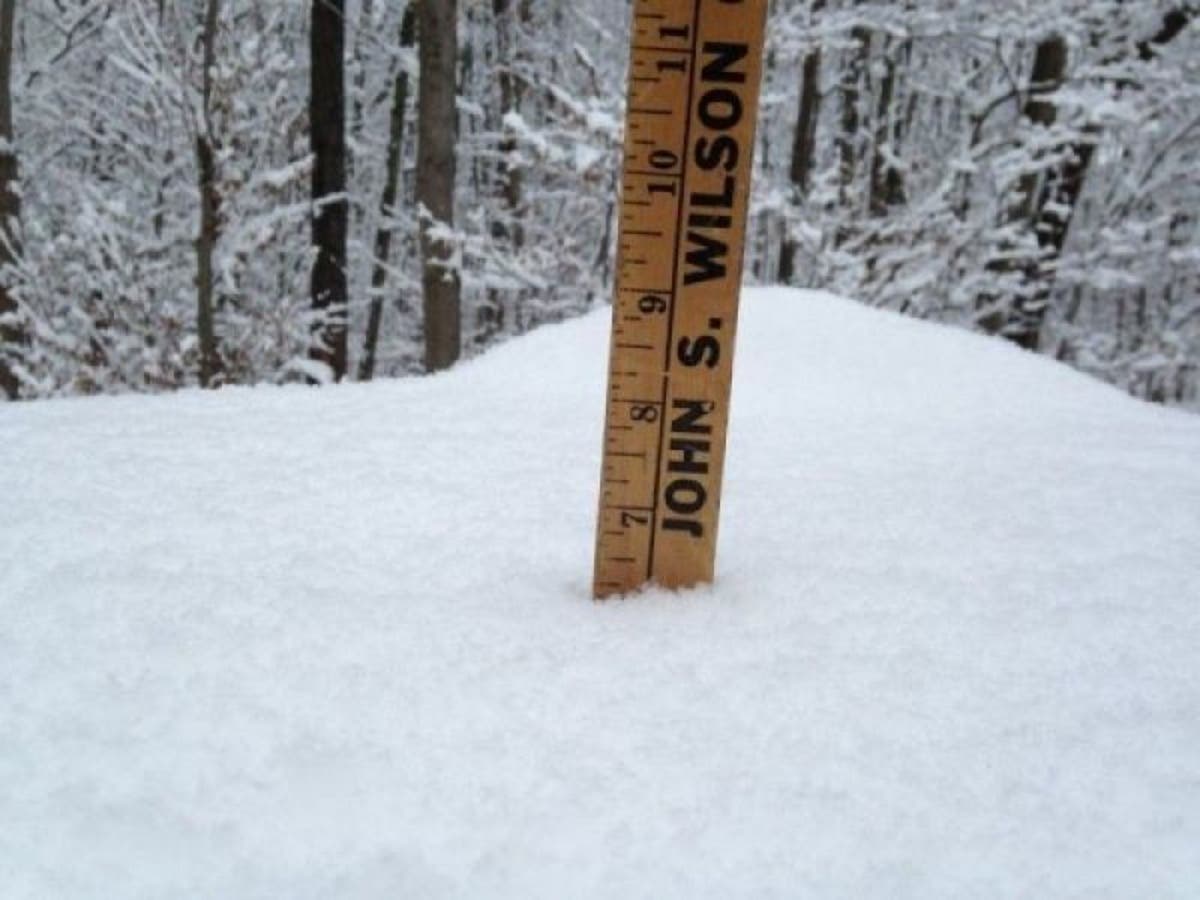
Photo credit: Lanning Taliaferro/Patch
Get more local news delivered straight to your inbox. Sign up for free Patch newsletters and alerts.


