Weather
CT Nor'easter: Hour-By-Hour Forecast Of 'Major' Storm
The National Weather Service's estimations of the "major" nor'easter's impacts for Connecticut broken down county by county.

You've already heard or read about it in a dozen different places, you know that a very powerful nor'easter is expected to arrive tonight bringing heavy rain, strong wind gusts, flooding concerns, and some snow on Friday. In an effort to help with your planning for Friday, we're sharing the hour-by-hour forecast for Connecticut.
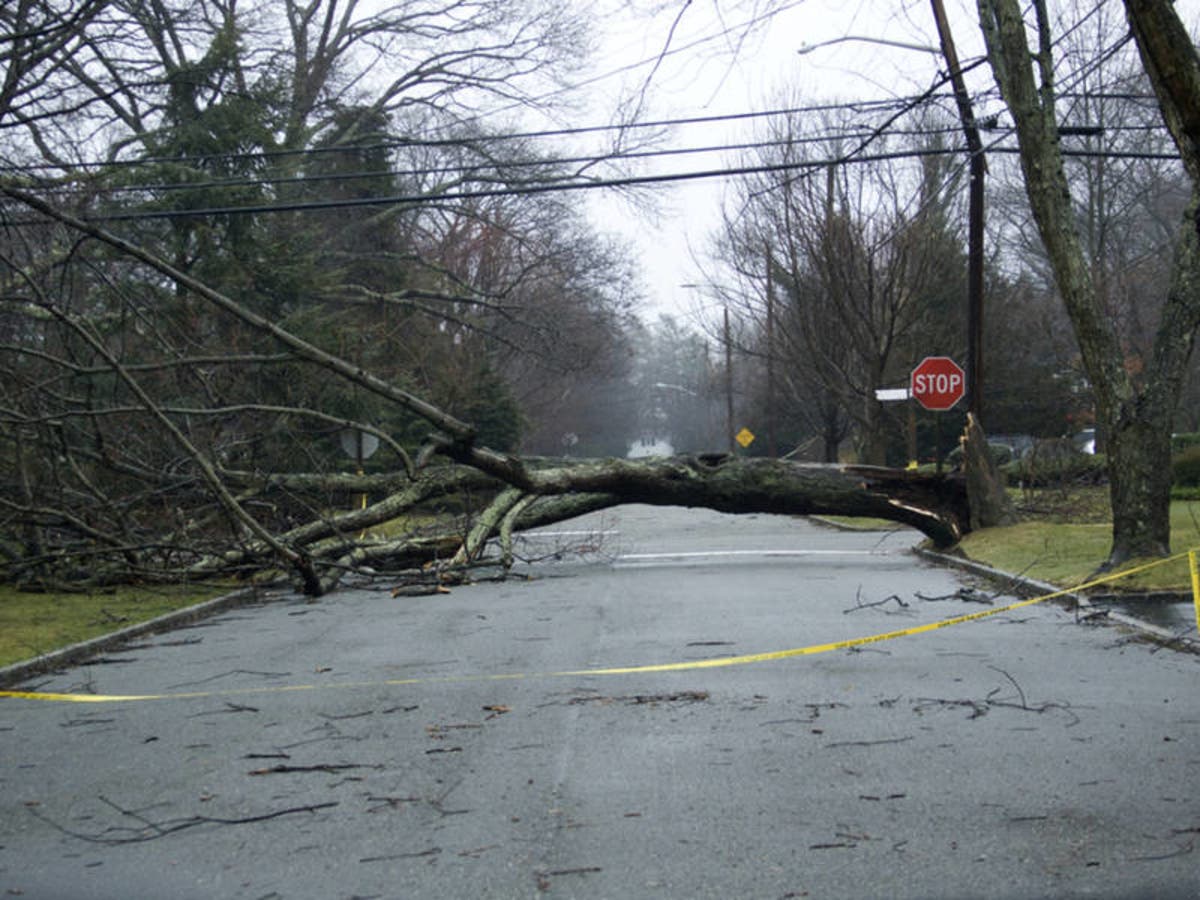
In examining the National Weather Service's hour-by-hour data, it has become clear that the biggest threats from this storm are flooding and the chance for power outages. For several hours on Friday afternoon and night wind gusts will range between 40 and 55 mph. The wind will be worse on the coast.
Most areas of the state will see 2 inches or more of rain except for Tolland and Hartford counties. And this is not expected to be a big snow event, according to the National Weather Service. The National Weather Service has issued a Winter Weather Advisory for northern Fairfield County for the chance of 2 to 3 inches of snow. A Winter Weather Advisory is in effect for Litchfield County for between 2 and 6 inches of snow, with the most snow falling in the hills. Tolland County could also see a few inches of snow. Everywhere else in Connecticut could see an inch or so of snow Friday.
Find out what's happening in Greenwichfor free with the latest updates from Patch.
One other noteworthy element is that no place in Connecticut will hit the freezing mark except for Tolland County late Friday night. Temps will largely remain in the mid to upper 30s on Friday. (See below for the full hour-by-hour forecast.)
Flood watches, wind advisories and warnings are also in place for the state. Here is a look at what the state's top meteorologists are predicting from this storm.
Find out what's happening in Greenwichfor free with the latest updates from Patch.
Updated snow forecast - very heavy snow for the hill towns and a sloppy, slushy mess in the valley. #nbcct pic.twitter.com/wGG5nsWT0B
— Ryan Hanrahan (@ryanhanrahan) March 1, 2018
Location, location, location!! Upper limit of snow in hills of NW CT is the biggest question! It could be 10", or even OVER 12" if everything worked out just right (or just wrong depending on if you like snow). For many the main focus is rain and wind. pic.twitter.com/gKzsQe1DkT
— Rachel Frank (@RachelFrank_CT) March 1, 2018
you get a weather alert! ...and you get a weather alert! (everyone gets a weather alert -- some get more than one!) this nor'easter is going to have quite an impact on ct... from rain to snow, to damaging wind and coastal flooding. stay with @WFSBnews for the latest! pic.twitter.com/iX2p35q6yo
— Mark Dixon (@MarkDixonTV) March 1, 2018
Here is the Hour-by-Hour forecast for the Nor'easter storm for Connecticut via the National Weather Service:
Fairfield County coast
10 p.m.: 45 degrees, 82 percent chance of precipitation, wind gusts 14 mph
1 a.m.: 43 degrees, 100 percent chance of precipitation, wind gusts 17 mph
4 a.m.: 42 degrees, 100 percent chance of precipitation, wind gusts 15 mph
7 a.m.: 40 degrees, 100 percent chance of precipitation, wind gusts 16 mph
10 a.m.: 40 degrees, 100 percent chance of precipitation, wind gusts 25 mph
1 p.m.: 40 degrees, 100 percent chance of precipitation, wind gusts 43 mph
4 p.m.: 39 degrees, 100 percent chance of precipitation, wind gusts 55 mph
7 p.m.: 38 degrees, 87 percent chance of precipitation, wind gusts 55 mph
10 p.m.: 37 degrees, 75 percent chance of precipitation, wind gusts 52 mph
1 a.m.: 37 degrees, 53 percent chance of precipitation, wind gusts 48 mph
The rain could start anywhere after 8 p.m. and it will continue all the way until 10 p.m. Friday. 2.25 inches of rain is expected to fall during the nor'easter. A half inch of snow may mix in Friday afternoon and evening.
Fairfield County inland
10 p.m.: 42 degrees, 81 percent chance of precipitation, wind gusts 11 mph
1 a.m.: 41 degrees, 100 percent chance of precipitation, wind gusts 14 mph
4 a.m.: 40 degrees, 100 percent chance of precipitation, wind gusts 11 mph
7 a.m.: 39 degrees, 100 percent chance of precipitation, wind gusts 15 mph
10 a.m.: 37 degrees, 100 percent chance of precipitation, wind gusts 25 mph
1 p.m.: 37 degrees, 100 percent chance of precipitation, wind gusts 39 mph
4 p.m.: 36 degrees, 100 percent chance of precipitation, wind gusts 51 mph
7 p.m.: 36 degrees, 88 percent chance of precipitation, wind gusts 49 mph
10 p.m.: 36 degrees, 72 percent chance of precipitation, wind gusts 46 mph
1 a.m.: 36 degrees, 52 percent chance of precipitation, wind gusts 41 mph
The rain could start anywhere after 7 p.m. and it will continue all the way until 10 p.m. Friday. 2.25 inches of rain is expected to fall during the nor'easter. A total of 2 inches of snow may mix in Friday afternoon and evening.
New Haven County coast
10 p.m.: 45 degrees, 79 percent chance of precipitation, wind gusts 13 mph
1 a.m.: 41 degrees, 100 percent chance of precipitation, wind gusts 13 mph
4 a.m.: 40 degrees, 100 percent chance of precipitation, wind gusts 16 mph
7 a.m.: 40 degrees, 100 percent chance of precipitation, wind gusts 20 mph
10 a.m.: 40 degrees, 100 percent chance of precipitation, wind gusts 20 mph
1 p.m.: 40 degrees, 100 percent chance of precipitation, wind gusts 41 mph
4 p.m.: 40 degrees, 100 percent chance of precipitation, wind gusts 55 mph
7 p.m.: 39 degrees, 88 percent chance of precipitation, wind gusts 55 mph
10 p.m.: 38 degrees, 75 percent chance of precipitation, wind gusts 52 mph
1 a.m.: 37 degrees, 56 percent chance of precipitation, wind gusts 48 mph
The rain could start anywhere after 7 p.m. and it will continue all the way until midnight Friday. 2.20 inches of rain is expected to fall during the nor'easter. Less than a half inch of snow may mix in Friday afternoon and evening.
New Haven County inland
10 p.m.: 44 degrees, 77 percent chance of precipitation, wind gusts 11 mph
1 a.m.: 40 degrees, 100 percent chance of precipitation, wind gusts 15 mph
4 a.m.: 39 degrees, 100 percent chance of precipitation, wind gusts 16 mph
7 a.m.: 39 degrees, 100 percent chance of precipitation, wind gusts 18 mph
10 a.m.: 39 degrees, 100 percent chance of precipitation, wind gusts 20 mph
1 p.m.: 39 degrees, 100 percent chance of precipitation, wind gusts 40 mph
4 p.m.: 39 degrees, 100 percent chance of precipitation, wind gusts 54 mph
7 p.m.: 38 degrees, 88 percent chance of precipitation, wind gusts 52 mph
10 p.m.: 37 degrees, 75 percent chance of precipitation, wind gusts 49 mph
1 a.m.: 37 degrees, 56 percent chance of precipitation, wind gusts 48 mph
The rain could start anywhere after 7 p.m. and it will continue all the way until midnight Friday. 2.25 inches of rain is expected to fall during the nor'easter. A little more than half an inch of snow may mix in Friday afternoon and evening.
Middlesex County:
10 p.m.: 42 degrees, 80 percent chance of precipitation, wind gusts 13 mph
1 a.m.: 41 degrees, 100 percent chance of precipitation, wind gusts 15 mph
4 a.m.: 41 degrees, 100 percent chance of precipitation, wind gusts 17 mph
7 a.m.: 40 degrees, 100 percent chance of precipitation, wind gusts 18 mph
10 a.m.: 40 degrees, 100 percent chance of precipitation, wind gusts 30 mph
1 p.m.: 40 degrees, 100 percent chance of precipitation, wind gusts 45 mph
4 p.m.: 39 degrees, 100 percent chance of precipitation, wind gusts 53 mph
7 p.m.: 38 degrees, 72 percent chance of precipitation, wind gusts 51 mph
10 p.m.: 37 degrees, 59 percent chance of precipitation, wind gusts 48 mph
1 a.m.: 36 degrees, 42 percent chance of precipitation, wind gusts 45 mph
The rain could start anywhere after 8 p.m. and it will continue all the way until midnight Friday. 2.20 inches of rain is expected to fall during the nor'easter. About one inch of snow may mix in Friday afternoon and evening.
New London County:
10 p.m.: 43 degrees, 75 percent chance of precipitation, wind gusts 15 mph
1 a.m.: 42 degrees, 100 percent chance of precipitation, wind gusts 20 mph
4 a.m.: 42 degrees, 100 percent chance of precipitation, wind gusts 21 mph
7 a.m.: 42 degrees, 100 percent chance of precipitation, wind gusts 22 mph
10 a.m.: 42 degrees, 100 percent chance of precipitation, wind gusts 34 mph
1 p.m.: 42 degrees, 100 percent chance of precipitation, wind gusts 48 mph
4 p.m.: 40 degrees, 100 percent chance of precipitation, wind gusts 59 mph
7 p.m.: 38 degrees, 78 percent chance of precipitation, wind gusts 59 mph
10 p.m.: 35 degrees, 66 percent chance of precipitation, wind gusts 53 mph
1 a.m.: 33 degrees, 50 percent chance of precipitation, wind gusts 49 mph
The rain could start anywhere after 8 p.m. and it will continue all the way until 1 a.m. Saturday. 2.35 inches of rain is expected to fall during the nor'easter. Less than half an inch of snow may mix in Friday afternoon and evening.
Hartford County:
10 p.m.: 44 degrees, 75 percent chance of precipitation, wind gusts 11 mph
1 a.m.: 41 degrees, 100 percent chance of precipitation, wind gusts 14 mph
4 a.m.: 40 degrees, 100 percent chance of precipitation, wind gusts 14 mph
7 a.m.: 40 degrees, 100 percent chance of precipitation, wind gusts 31 mph
10 a.m.: 39 degrees, 100 percent chance of precipitation, wind gusts 34 mph
1 p.m.: 39 degrees, 95 percent chance of precipitation, wind gusts 41 mph
4 p.m.: 37 degrees, 86 percent chance of precipitation, wind gusts 45 mph
7 p.m.: 36 degrees, 75 percent chance of precipitation, wind gusts 43 mph
10 p.m.: 35 degrees, 51 percent chance of precipitation, wind gusts 41 mph
1 a.m.: 35 degrees, 23 percent chance of precipitation, wind gusts 41 mph
The rain could start anywhere after 8 p.m. and it will continue all the way until 11 p.m. Friday. 1.5 inches of rain is expected to fall during the nor'easter. One inch of snow may mix in Friday afternoon and evening.
Tolland County:
10 p.m.: 40 degrees, 71 percent chance of precipitation, wind gusts 14 mph
1 a.m.: 38 degrees, 82 percent chance of precipitation, wind gusts 28 mph
4 a.m.: 38 degrees, 100 percent chance of precipitation, wind gusts 29 mph
7 a.m.: 37 degrees, 100 percent chance of precipitation, wind gusts 32 mph
10 a.m.: 36 degrees, 100 percent chance of precipitation, wind gusts 37 mph
1 p.m.: 35 degrees, 93 percent chance of precipitation, wind gusts 41 mph
4 p.m.: 33 degrees, 82 percent chance of precipitation, wind gusts 44 mph
7 p.m.: 38 degrees, 78 percent chance of precipitation, wind gusts 43 mph
10 p.m.: 32 degrees, 56 percent chance of precipitation, wind gusts 44 mph
1 a.m.: 33 degrees, 26 percent chance of precipitation, wind gusts 41 mph
The rain could start anywhere after 8 p.m. and it will continue all the way until 6 p.m. Friday. 1 inch of rain is expected to fall during the nor'easter. Three inches of snow may mix in Friday afternoon and evening.
Litchfield County:
10 p.m.: 46 degrees, 60 percent chance of precipitation, wind gusts 15 mph
1 a.m.: 41 degrees, 100 percent chance of precipitation, wind gusts 17 mph
4 a.m.: 39 degrees, 100 percent chance of precipitation, wind gusts 29 mph
7 a.m.: 38 degrees, 100 percent chance of precipitation, wind gusts 30 mph
10 a.m.: 37 degrees, 100 percent chance of precipitation, wind gusts 34 mph
1 p.m.: 36 degrees, 100 percent chance of precipitation, wind gusts 39 mph
4 p.m.: 36 degrees, 85 percent chance of precipitation, wind gusts 48 mph
7 p.m.: 36 degrees, 73 percent chance of precipitation, wind gusts 40 mph
10 p.m.: 36 degrees, 51 percent chance of precipitation, wind gusts 32 mph
1 a.m.: 35 degrees, 35 percent chance of precipitation, wind gusts 31 mph
The rain could start anywhere after 8 p.m. and it will continue all the way until 10 p.m. Friday. 2 inches of rain is expected to fall during the nor'easter. Three inches of snow may mix in throughout the day on Friday.
Image via Shutterstock
Get more local news delivered straight to your inbox. Sign up for free Patch newsletters and alerts.


