Weather
Connecticut Weather: Bitter Cold Temps, Snow Monday
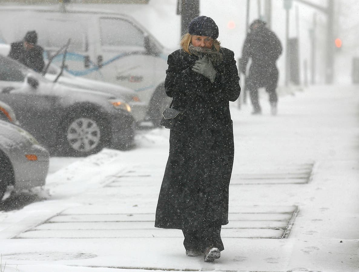
Temperatures will reach dangerously cold levels this weekend and snow is in the forecast for Monday.

The good news in the Connecticut forecast is that bitter-cold temperatures will give way to relatively balmy 40 degrees by the end of the week. The bad news is we may have to deal with a bit more snow before we get there.
The National Weather Service has issued a wind chill advisory for all of Connecticut until Sunday morning. Cold wind chills can cause frostbite in as little as 30 minutes to exposed skin. Wind chills will range from five below zero to 20 below zero overnight.
Cold temperatures Saturday morning caused a number of water main ruptures in parts of the state. Westport, West Hartford and Plymouth were affected.
Find out what's happening in Greenwichfor free with the latest updates from Patch.
Furnaces and boilers have been working overtime to keep buildings warm in the bitter cold, which has placed an increased demand on heating fuel. The average price for home heating oil in Connecticut was $3.03 per gallon as of Jan. 2, according to the state Department of Energy and Environmental Protection.
Last year at the same time the average price was $2.55 a gallon. In Fairfield County the current average price is about $3.35 per gallon.
Find out what's happening in Greenwichfor free with the latest updates from Patch.
“It’s going to be very cold all day today through tomorrow. Make sure you have enough home heating oil.” said WTNH Meteorologist Gil Simmons.“A little light snow possible later Monday & Monday Night.”
Snow will be nothing like Thursday’s storm, which dropped more than 16 inches of precipitation in parts of the state. Some parts of the state could see freezing rain mixed with snow Monday.
Daytime temperatures will warm up into the 30’s by Monday and should stay there until Friday when they push into the low 40’s. There is a chance for rain Friday.
Below is the forecast for Connecticut from the National Weather Service.
Southern Connecticut
This Afternoon
Sunny and cold, with a high near 14. Wind chill values between -5 and -10. Breezy, with a northwest wind 20 to 22 mph, with gusts as high as 32 mph.
Tonight
Mostly clear, with a low around 1. Wind chill values between -5 and -10. Northwest wind 8 to 15 mph, with gusts as high as 25 mph.
Sunday
Sunny and cold, with a high near 20. Wind chill values between -10 and zero. Northwest wind 5 to 9 mph becoming southwest in the afternoon.
Sunday Night
Mostly cloudy, with a steady temperature around 22. Wind chill values between 10 and 15. Southwest wind 9 to 11 mph, with gusts as high as 22 mph.
Monday
A 30 percent chance of snow after 10am. Cloudy, with a high near 33. Southwest wind 9 to 13 mph.
Monday Night
A chance of snow and freezing rain before midnight, then a chance of snow. Cloudy, with a steady temperature around 33. Chance of precipitation is 40%.
Tuesday
Partly sunny, with a high near 37.
Tuesday Night
Partly cloudy, with a low around 22.
Wednesday
Mostly sunny, with a high near 32.
Wednesday Night
Mostly cloudy, with a low around 27.
Thursday
Partly sunny, with a high near 39.
Thursday Night
Mostly cloudy, with a low around 36.
Friday
A 40 percent chance of rain. Mostly cloudy, with a high near 42.
Northern Connecticut
This Afternoon
Sunny and cold, with a high near 14. Wind chill values between -5 and -10. Breezy, with a northwest wind 20 to 22 mph, with gusts as high as 32 mph.
Tonight
Mostly clear, with a low around 1. Wind chill values between -5 and -10. Northwest wind 8 to 15 mph, with gusts as high as 25 mph.
Sunday
Sunny and cold, with a high near 20. Wind chill values between -10 and zero. Northwest wind 5 to 9 mph becoming southwest in the afternoon.
Sunday Night
Mostly cloudy, with a steady temperature around 22. Wind chill values between 10 and 15. Southwest wind 9 to 11 mph, with gusts as high as 22 mph.
Monday
A 30 percent chance of snow after 10am. Cloudy, with a high near 33. Southwest wind 9 to 13 mph.
Monday Night
A chance of snow and freezing rain before midnight, then a chance of snow. Cloudy, with a steady temperature around 33. Chance of precipitation is 40%.
Tuesday
Partly sunny, with a high near 37.
Tuesday Night
Partly cloudy, with a low around 22.
Wednesday
Mostly sunny, with a high near 32.
Wednesday Night
Mostly cloudy, with a low around 27.
Thursday
Partly sunny, with a high near 39.
Thursday Night
Mostly cloudy, with a low around 36.
Friday
A 40 percent chance of rain. Mostly cloudy, with a high near 42.
Image via Stew Milne/AP
Get more local news delivered straight to your inbox. Sign up for free Patch newsletters and alerts.


