Weather
Connecticut Weather: Accumulating Snow In The Forecast
On Friday, temps were in the 60s and some areas saw 3 inches of rain, and now just a few days later accumulating snow is expected.

It appears Connecticut will see accumulating snow Tuesday afternoon and evening, ending early Wednesday. Light snow is expected to begin mid-afternoon Tuesday and increase in intensity at night. There could be issues with the evening commute Tuesday and the morning commute on Wednesday.
According to the National Weather Service, the farther east and north you are, the more snow you'll receive. Fairfield County is expected to receive 1 to 2 inches of snow, while New Haven, Middlesex and New London counties are expecting to receive 2 to 4 inches of snow.
Litchfield, Hartford and Tolland counties may see four inches of snow, according to the National Weather Service. As we've seen countless times, these are the current estimates and they can certainly change as the storm gets closer to us.
Find out what's happening in Greenwichfor free with the latest updates from Patch.
The National Weather Service says, "Low pressure will weaken as it moves east toward the tri-state Monday night into Tuesday morning, with the chances for precipitation increasing through the day Tuesday. It will be cold enough for the precipitation to be in the form of light snow everywhere. The light snow is expected to continue into Tuesday night.
"Light snow continues Tuesday night ahead of the low, and should come to an end Wednesday. Possible rain/snow mix east. Any snow accumulation should remain in the 1 to 2 inch range west, with perhaps 2 to 4 inches eastern locations," the National Weather Service says about Southern Connecticut.
Find out what's happening in Greenwichfor free with the latest updates from Patch.
In its expected snowfall map for Hartford and Tolland counties, the weather service shows four to five inches of snow is likely.

There's no doubt that the weather has been very unkind over the past month, but there is some really good news on the horizon. Next weekend temps will be in the low 40s Saturday and possibly in the 50s next Sunday.
Here's the updated weather forecast for Southern Connecticut via the National Weather Service:
Tonight: Mostly clear, with a low around 8. Wind chill values between zero and 5. North wind 9 to 11 mph.
M.L.King Day: Partly sunny, with a high near 27. Wind chill values between -5 and 5. North wind 11 to 13 mph.
Monday Night: Mostly cloudy, with a steady temperature around 24. Wind chill values between 15 and 20. North wind 5 to 10 mph becoming light after midnight.
Tuesday: A 50 percent chance of light snow, mainly after 3pm. Cloudy, with a high near 35. Wind chill values between 20 and 30. Calm wind becoming east around 5 mph.
Tuesday Night: Light snow likely, mainly before 4am. Cloudy, with a low around 27. Light and variable wind becoming northwest around 5 mph after midnight. Chance of precipitation is 60%. New snow accumulation of 2 to 4 inches possible.
Wednesday: A 40 percent chance of light snow before 3pm. Mostly cloudy, with a high near 33.
Here's the updated weather forecast for Northern Connecticut via the National Weather Service:
Tonight: Increasing clouds, with a low around 5. Wind chill values as low as -3. North wind around 7 mph.
M.L.King Day: Mostly cloudy, with a high near 25. Wind chill values as low as -5. North wind around 9 mph.
Monday Night: Mostly cloudy, with a low around 19. North wind 3 to 7 mph.
Tuesday: A chance of snow, mainly after noon. Cloudy, with a high near 33. Calm wind becoming south around 5 mph in the afternoon. Chance of precipitation is 40%. New snow accumulation of less than one inch possible.
Tuesday Night: Snow likely, mainly after 11pm. Cloudy, with a low around 25. Light and variable wind. Chance of precipitation is 60%.
Wednesday: A chance of snow, mainly before noon. Mostly cloudy, with a high near 33. Chance of precipitation is 40%.
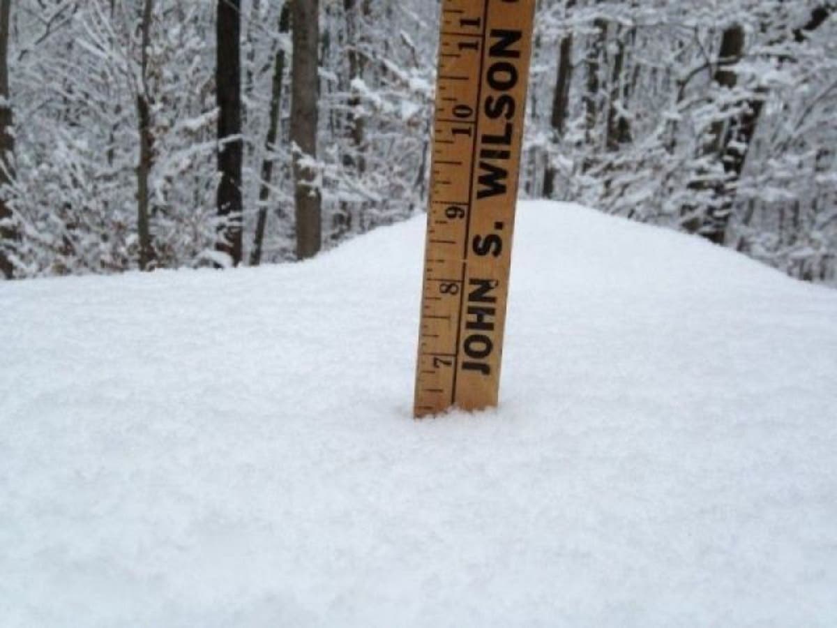
Photo: Lanning Taliaferro/Patch
Get more local news delivered straight to your inbox. Sign up for free Patch newsletters and alerts.


