Community Corner
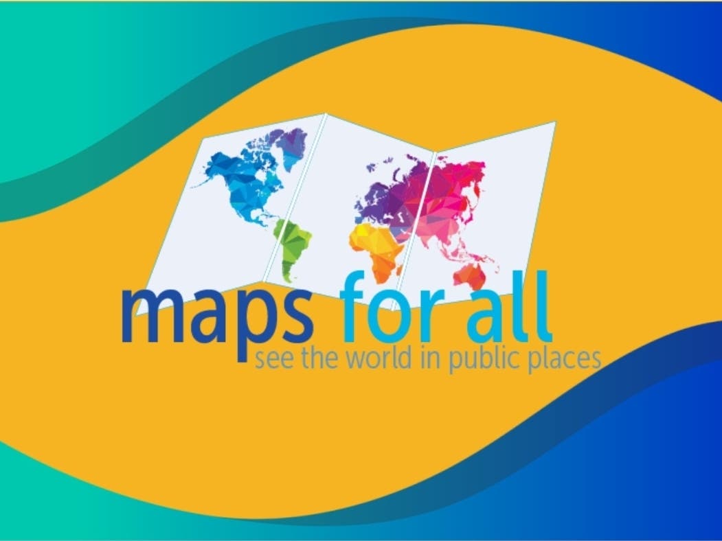
Maps for All Initiative Grows in Greater Hartford
Goal to Highlight International Connections, Awareness, and Understanding; Hartford and CT Connect to World in Culture, Commerce and More
A volunteer-driven initiative to highlight the many ways that Hartford, the region, and the state are connected internationally kicks off this week, in the midst of National Geography Awareness Week, celebrated Nov. 10-16.
The local effort, Maps For All, aims to promote greater awareness and understanding of the impact and influences around the world, and how they connect here close to home. It urges people to “see the world in public places,” envisioning world maps of various designed sprinkled throughout the region and state.
At the heart of the effort is a request to local business to post maps of the world – ranging from original one-of-a-kind art designed by local artists working in various materials to more traditional maps of the type that have been seen in classrooms for generations. The more creative world maps, it is hoped, will generate conversation and social media buzz, encouraging patrons of businesses and restaurants to share stories of where they’re from, where they’ve been, what’s been in the news – all of which should encourage improved awareness across generations. The kickoff is being highlighted by the launch of a new website, www.mapsforall.org.
Find out what's happening in Greater Hartfordfor free with the latest updates from Patch.
Leading the Maps for All initiative is local educator and philanthropist Dr. Louise Loomis, who conceived of the idea, and pitched it to the World Affairs Council of Connecticut, which enthusiastically endorsed it. Dr. Loomis then organized a committee of volunteers who worked throughout the past few years to build interest, scout locations, enlist partner organizations, and underscore the value of Maps For All to the region, the state, and its residents.
Committee members include staff leadership of the World Affairs Council of Connecticut and members of the community. In addition to the World Affairs Council of CT’s CEO Megan Torrey, Program Director Amanda Jolly, and Education Director Nicole Struth, the committee was comprised of Dan Casper, Bill DeGrazia, Bernard Kavaler, Colleen Kruger, Michelle McFarland, and F. Scott Wilson.
Find out what's happening in Greater Hartfordfor free with the latest updates from Patch.
Officials point out that “a world map in your business location not only advances the geographic literacy of your employees and customers, it becomes an attraction and conversation starter. A map designed by a local artist also provides an opportunity to support the arts in the community.”
They add that Greater Hartford, and Connecticut, are intertwined with and interdependent on nations throughout the world for commerce. The city, region and state is home to immigrants from across the world. In fact, in Hartford alone, there are scores of various languages spoken, and Connecticut’s diverse population includes individuals, families and communities whose cultural background includes nations from every corner of the globe. Among the locations suggested for world maps are restaurants, nonprofit organizations, schools and libraries, business and office properties. The website includes a listing of resources for organizations interested in purchasing maps to be posted in public places.
More than 730 global companies have subsidiaries in Connecticut, and in 2018, Connecticut exported a record $17.4 billion of Made-in-America goods to the world. Connecticut was the 25th largest state exporter of goods. One in six workers in Connecticut is an immigrant, making up a significant part of the state’s labor force across industries. And foreign investment in Connecticut was responsible for 7.1 percent of the state's total private-industry employment in 2015, the most recent data available.
“Geography Awareness Week is the perfect time to launch our website, spread the word, and encourage new partnerships and participants,” said Dr. Loomis. “Our visual environment is predominantly devoted to selling goods and services. There is a tremendous opportunity to include world maps in that visual environment, to encourage greater awareness and reflect the globalism that increasingly impacts our lives, while also providing new methods for individual global education.”
Each year more than 100,000 Americans actively participate in Geography Awareness Week. Established by presidential proclamation more than 25 years ago, this annual public awareness program encourages citizens young and old to think and learn about the significance of place and how we affect and are affected by it. Each third week of November, students, families and community members focus on the importance of geography as part of the observance, coordinated by National Geographic.
To learn more about Maps for All – and to get involved – visit www.mapsforall.org or email mapsforallCT@gmail.com.