Community Corner
Black Ice, More Snow in Ledyard's Forecast
Meteorologists are also keeping an eye on what could be a major winter storm for the beginning of the week.

A day of rain and snow, combined with a drop in temperature, are making conditions perfect for the formation of black ice.
According to the National Weather Service’s special weather statement, black ice will form late Saturday night into Sunday on any untreated surfaces, as temperatures fall into the 20s.
“Melted snow from this morning’s storm will refreeze, creating hazardous conditions on surfaces that have been cleared of snow, but [have been] untreated for ice,” the NWS stated.
Find out what's happening in Ledyardfor free with the latest updates from Patch.
While it’s still too early for details, Meteorologist Ryan Hanrahan is watching a potential storm for the state that could arrive Monday night.
“Weather hype drives me absolutely insane,” he wrote on his Facebook page. “But, once in a while it’s time to sound the alarms. The Monday night/Tuesday event is quickly escalating into a major winter storm. The could be a BIG one - stay tuned!!!”
Find out what's happening in Ledyardfor free with the latest updates from Patch.
Ledyard’s NWS Forecast
- Saturday Afternoon: Snow. High near 33. Wind chill values between 25 and 30. North wind around 13 mph. Chance of precipitation is 90%. Total daytime snow accumulation of 2 to 4 inches possible.
- Saturday Night: A slight chance of snow before 8 p.m. Cloudy, then gradually becoming partly cloudy, with a low around 26. West wind 7 to 11 mph. Chance of precipitation is 20%.
- Sunday: Mostly sunny, with a high near 37. Wind chill values between 20 and 25. West wind 8 to 14 mph.
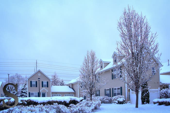
Photo of Jan. 24’s storm by Singing With Light, via flickr creative commons
Get more local news delivered straight to your inbox. Sign up for free Patch newsletters and alerts.