Home & Garden
UPDATE: Thunderstorm Watch Issued for Manchester
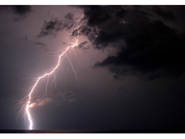
Strong thunderstorms and even possibly some isolated severe storms are possible this evening.

Update, 5:30 p.m.
The National Weather Service has now issued a Thunderstorm Watch for Hartford County.
According to the NWS, “A FEW STRONG TO PERHAPS A MARGINALLY SEVERE THUNDERSTORM OR TWO ARE POSSIBLE ACROSS WESTERN MASSACHUSETTS AND NORTHWEST CONNECTICUT BETWEEN 6 AND 10 PM THIS EVENING. THE BIGGEST THREAT WOULD BE VERY LOCALIZED STRONG TO DAMAGING WIND GUSTS WITH HAIL A SECONDARY CONCERN.”
Find out what's happening in Manchesterfor free with the latest updates from Patch.
Original Story
The National Weather Service has issued a “Special Weather Statement” and “Hazardous Weather Outlook” for Hartford County for the chance of strong thunderstorms between 4 p.m. and 10 p.m.
Find out what's happening in Manchesterfor free with the latest updates from Patch.
...A FEW STRONG TO PERHAPS A MARGINALLY SEVERE THUNDERSTORM OR TWO ARE POSSIBLE ACROSS WESTERN MASSACHUSETTS AND NORTHWEST CONNECTICUT BETWEEN 4 AND 10 PM THIS EVENING…,” the National Weather Service writes.
SCATTERED SHOWERS AND THUNDERSTORMS HAVE DEVELOPED ACROSS NEW YORK STATE AND PENNSYLVANIA EARLY THIS AFTERNOON. THIS ACTIVITY WILL TRACK EAST AND MAY AFFECT WESTERN MASSACHUSETTS AND NORTHWEST CONNECTICUT BETWEEN 4 AND 10 PM THIS EVENING,” according to the weather service’s special statement.
The main threat will be the potential for localized heavy rainfall and dangerous cloud to ground lightning, the NWS states. Damaging wind and strong gusts are also possible.
There is a chance for more showers and storms early Thursday and some fog as well, but then it will be sunny and much warmer with temps approaching the high 80s on Thursday afternoon.
Other stories on Patch.com include:
Get more local news delivered straight to your inbox. Sign up for free Patch newsletters and alerts.