Weather
Hazardous Weather Outlook Issued For Southern Connecticut
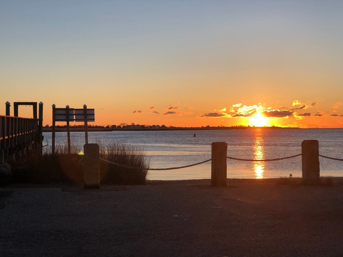
The National Weather Service has issued a hazardous weather outlook for all of southern Connecticut. Here's what you need to know.

SOUTHERN CONNECTICUT — The National Weather Service has issued a hazardous weather outlook and a freeze watch for all of southern Connecticut.
The freeze watch is in effect from late Monday night through Tuesday morning.
Sub-freezing temperatures are forecast, which means temperatures may fall below 32 degrees, according to the weather service.
Find out what's happening in Milfordfor free with the latest updates from Patch.
"Frost and freeze conditions could kill crops and other sensitive vegetation," the weather service said.
As for current conditions, Sunday will be mostly cloudy with some rain, and temperatures falling into the 40s during the afternoon. Winds could gust up to 25 mph.
Find out what's happening in Milfordfor free with the latest updates from Patch.
Monday and Tuesday look chilly with temperatures around 50 degrees, and then things begin to slowly warm up on Wednesday, and then we're back into the upper 60s by late in the week.
After the rain Sunday, it looks largely dry except for the slim chance of rain showers Tuesday night and early Wednesday.
Read More:
- Popular Radio Host Laid Off
- Beloved Restaurant Owner Hoping To Return To His Business
- 2 CT Towns Cited For 'Wasteful' Spending In President Trump's Annual Budget Request
Here are the extended forecast details for southern Connecticut via the National Weather Service:
Today: Showers, mainly before 5pm. Patchy fog before 11am. Temperature rising to near 51 by 11am, then falling to around 46 during the remainder of the day. Light and variable wind becoming northwest 10 to 15 mph in the morning. Winds could gust as high as 25 mph. Chance of precipitation is 90%. New precipitation amounts between a tenth and quarter of an inch possible.
Tonight: A 30 percent chance of showers before 8pm. Mostly cloudy during the early evening, then gradual clearing, with a low around 37. West wind around 6 mph becoming calm after midnight.
Monday: A 30 percent chance of showers. Partly sunny, with a high near 51. West wind 3 to 8 mph.
Monday Night: Mostly clear, with a low around 33. Northwest wind around 7 mph.
Tuesday: Sunny, with a high near 52. Light and variable wind becoming south 5 to 7 mph in the afternoon.
Tuesday Night: A 30 percent chance of showers after 2am. Increasing clouds, with a low around 40.
Wednesday: A 30 percent chance of showers before 8am. Partly sunny, with a high near 58.
Wednesday Night: Partly cloudy, with a low around 43.
Thursday: Mostly sunny, with a high near 66.
Thursday Night: Partly cloudy, with a low around 45.
Friday: Mostly sunny, with a high near 63.
Get more local news delivered straight to your inbox. Sign up for free Patch newsletters and alerts.