Home & Garden
Winter Weather Advisory Issued for Connecticut
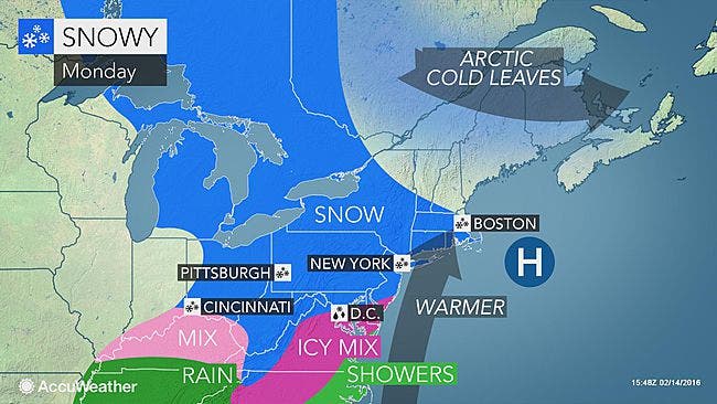
The National Weather Service has updated its snowfall estimates and cautions the evening commute Monday may be a slippery one.

It’s official, we’re getting some snow and ice on Monday. The National Weather Service in a Sunday evening update issued a “Winter Weather Advisory” for the entire state of Connecticut.
The advisory begins at 1 p.m. and expires at midnight on the immediate Connecticut coastline and not until 6 a.m. for more inland sections of the state.
Here is the latest details via the National Weather Service:
Southern portions of Fairfield, New Haven, Middlesex, and New London counties, or also known as the immediate Connecticut coastline:
Snow develops late Monday morning and afternoon, then gradually mixes with and changes to freezing rain, then rain during Monday evening.
Roads may be slippery and the evening commute could be difficult, the weather service states. A total of 1-4 inches of snow and a trace amount of ice are expected. Southeast Connecticut may end up with just one inch of snow.
Northern Fairfield, New Haven, Middlesex, and New London counties:
Snow will accumulate 2-4 inches along with up to a tenth of an inch of ice. Snow begins Monday afternoon and change to freezing rain, then rain by early Tuesday morning. Roads will be slippery, especially for the evening commute, the weather service writes.
Hartford and Tolland counties:
Snow will accumulate 1 to 3 inches along with around a trace of ice. Snow begins late Monday afternoon and continue into the evening before changing to sleet then freezing rain overnight. The precipitation will change to all rain by Tuesday morning.
On the plus side, next week we may hit 50 degrees both days!
Photo credit: Accuweather.com
Get more local news delivered straight to your inbox. Sign up for free Patch newsletters and alerts.


