Community Corner
MONROE WEATHER ALERT: More Snow is on the Way
The National Weather Service is predicting more snow for our area.

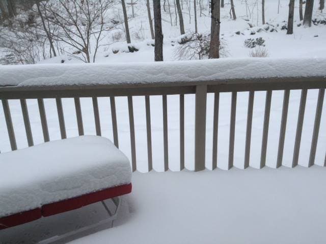
More snow is on the way for our area on Thursday. Below is a detailed forecast from the National Weather Service.
- This AfternoonMostly cloudy, with a high near 29. Wind chill values between 15 and 25. Southeast wind around 6 mph.
- TonightSnow, mainly after 9pm. Low around 24. Wind chill values between 15 and 20. South wind 6 to 8 mph. Chance of precipitation is 80%. New snow accumulation of 1 to 2 inches possible.
- FridaySnow likely, mainly before noon. Mostly cloudy, with a high near 32. Wind chill values between 10 and 20. Southwest wind 5 to 10 mph becoming northwest 11 to 16 mph in the afternoon. Chance of precipitation is 70%. New snow accumulation of less than one inch possible.
- Friday NightA slight chance of snow before midnight. Mostly cloudy, with a low around 6. Wind chill values between -10 and zero. Northwest wind 14 to 16 mph, with gusts as high as 30 mph. Chance of precipitation is 20%.
- SaturdaySunny and cold, with a high near 17. Blustery, with a northwest wind 14 to 21 mph, with gusts as high as 36 mph.
- Saturday NightPartly cloudy, with a low around 7.
- SundayPartly sunny, with a high near 27.
- Sunday NightA chance of snow. Mostly cloudy, with a low around 4. Chance of precipitation is 50%.
- MondayA chance of snow. Mostly cloudy and cold, with a high near 17. Chance of precipitation is 50%.
- Monday NightMostly cloudy, with a low around -4.
- TuesdayMostly sunny and cold, with a high near 15.
- Tuesday NightPartly cloudy, with a low around 3.
- WednesdayPartly sunny, with a high near 25.
Get more local news delivered straight to your inbox. Sign up for free Patch newsletters and alerts.