Community Corner
WEATHER ALERT: Monroe Now Facing a Winter Storm Warning
The National Weather Service has increased its estimated snowfall projection for the area.

Written by Wendy Mitchell and Brian McCready
The National Weather Service is predicting between 5-8 inches of heavy wet snow for the area beginning after midnight and ending by 6 p.m. on Saturday.
This is a significant change from just this morning when 3-5 inches was estimated.
Find out what's happening in Monroefor free with the latest updates from Patch.
The National Weather Service had issued a Winter Weather Advisory for Fairfield County early Friday but changed it to a Winter Storm Warning Friday afternoon.
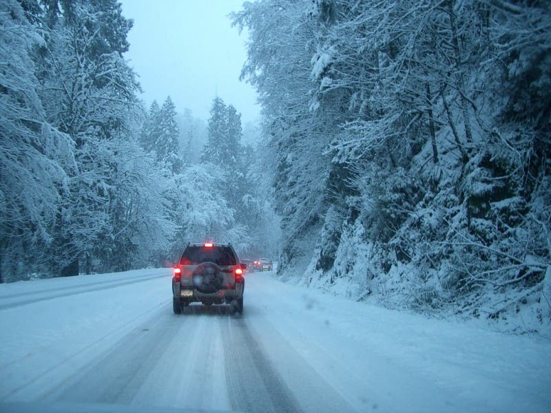
The weather service predicts that the heavy wet snow combined with some sleet and freezing rain could make travel treacherous and the weight of the snow could knock down some tree limbs and power lines.
Find out what's happening in Monroefor free with the latest updates from Patch.
Snow is still expected at this time to accumulate 3-5 inches with a trace amount of ice mixed in. The heaviest snow mixed with sleet, and freezing rain is forecast for Saturday morning through Saturday afternoon.
Here is a detailed 5-day forecast from the National Weather Service:
- Tonight - Snow, mainly after midnight. The snow could be heavy at times. Low around 25. Calm wind becoming southeast around 5 mph after midnight. Chance of precipitation is 100%. Total nighttime snow accumulation of 1 to 3 inches possible.
- Saturday - Snow before 10am, then freezing rain, possibly mixed with snow. The snow could be heavy at times. High near 33. Wind chill values between 20 and 25. Northeast wind 5 to 13 mph. Chance of precipitation is 100%. New ice accumulation of less than a 0.1 of an inch possible. New snow accumulation of 2 to 4 inches possible.
- Saturday Night - A chance of snow, mainly before 7pm. Mostly cloudy, with a low around 24. Wind chill values between 15 and 20. West wind 9 to 13 mph. Chance of precipitation is 30%.
- Sunday - Mostly sunny, with a high near 33. Wind chill values between 15 and 25. Northwest wind 7 to 10 mph.
- Sunday Night - A slight chance of snow between 1am and 2am. Mostly cloudy, with a low around 16. North wind 5 to 7 mph. Chance of precipitation is 20%.
- Monday - A chance of snow, mainly between noon and 2pm. Cloudy, with a high near 23. Chance of precipitation is 30%.
- Monday Night - Mostly cloudy, with a low around 4.
- Tuesday - Mostly sunny and cold, with a high near 19.
- Tuesday Night - Partly cloudy, with a low around 3.
Have a news tip? Email wendy.mitchell@ patch.com.
Sign up for our newsletter and breaking news alerts by filling out the form below.
Get more local news delivered straight to your inbox. Sign up for free Patch newsletters and alerts.