Community Corner
WEATHER UPDATE: Snow Accumulation Totals Predicted for Connecticut
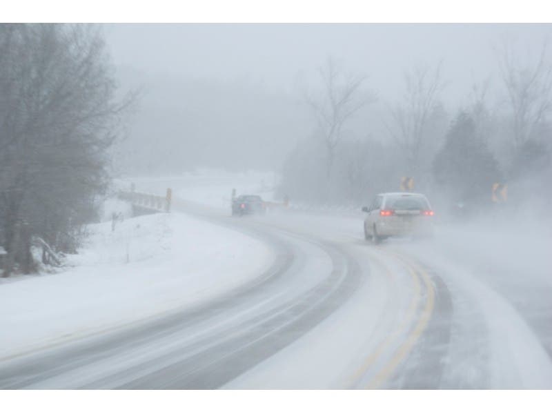
Another winter storm is expected to hit Connecticut on Sunday and a Winter Storm Watch and Hazardous Weather Outlook has been issued.

If it’s another weekend in Connecticut, we all know what that means.
For the sixth-straight weekend snow is in the forecast. That seems to be some sort of a record.
For the most part, Connecticut meteorologists and the National Weather Service agree on exactly how much the state will receive from this latest winter weekend storm.
Find out what's happening in New Canaanfor free with the latest updates from Patch.
By Monday morning’s commute several inches of heavy, wet snow are forecast to accumulate. The snow could begin by mid afternoon on Sunday but it becomes steadier at night.
The National Weather Service has issued a Winter Storm Watch for Hartford and Tolland counties because up to six inches of snow is possible within a 24-hour period.
Find out what's happening in New Canaanfor free with the latest updates from Patch.
A Hazardous Weather Outlook has been issued for Fairfield, New Haven, Middlesex, and New London counties where a little less snow is predicted. Some mixing on the immediate shoreline is possible, which could cut into the overall accumulation totals.
WFSB 3 TV is predicting the storm will dump 3-6 inches on the state, but on the plus side temperatures will rise to the freezing mark on Sunday, which is something that doesn’t happen often anymore.
NBC Connecticut is predicting the same 3-6 inches of snow to accumulate.
News 8’s Kevin Arnone predicts the heaviest snow falls just before Monday’s morning commute and overall 2-5 inches will accumulate.
The National Weather Service is predicting between 4-7 inches of snow for communities in Hartford and Tolland counties, and 2-4 inches for Fairfield, New Haven, Middlesex, and New London county communities.
On Facebook NBC Connecticut Meteorologist Darren Sweeney writes:
“Happy final day of February! Doesn’t it feel like this was the longest month ever?
We start March with a WINTER STORM WATCH for Sunday PM.
Here are the details:
Today/night. Sunny, cold. 20s today, single 0’s tonight (some towns once again below zero).
Sunday: Thickening clouds, snow showers break out 2-4 PM, steady snow by dark. Snow through Monday AM’s commute, wrapping up around or just after daybreak.
Generally 3-6” snowfall, we could see a little mixing at the shore which could hold some towns in the 2-4” range, we’ll fine tune that forecast today.
No real melting in sight this week, except for some milder air which will bring a sloppy mess of snow to ice to rain Tuesday night and Wednesday.”
WTNH News 8’s Meteorologist Gil Simmons writes on Facebook:
“Gooood morning!!!! Looks like the snow wants to arrive earlier tomorrow mid-afternoon. I still think 3”-5” is fair with some 6” totals possible! Should be gone early Monday. Have a good day today!”
Other stories on Patch:
- Witness Describes How a Cop Averted Norwalk Railroad-Crossing Collision
- Milford Hospital Plans to End Obstetrical Services
- UPDATE: New Canaan Police Officer Dragged 35 Feet by Suicidal Man
- East Haven Burglary Turns into North Haven Home Invasion
- U.S. Senator to Honor Norwalk Cop Who Prevented Train-SUV Collision
Get more local news delivered straight to your inbox. Sign up for free Patch newsletters and alerts.