Weather
North Branford Prepares For Major Winter Storm: Latest Forecast, Cancellations, How To Prepare
What you need to know now. The town and its departments are sharing information about the arctic blast, icy conditions and heavy snowfall.

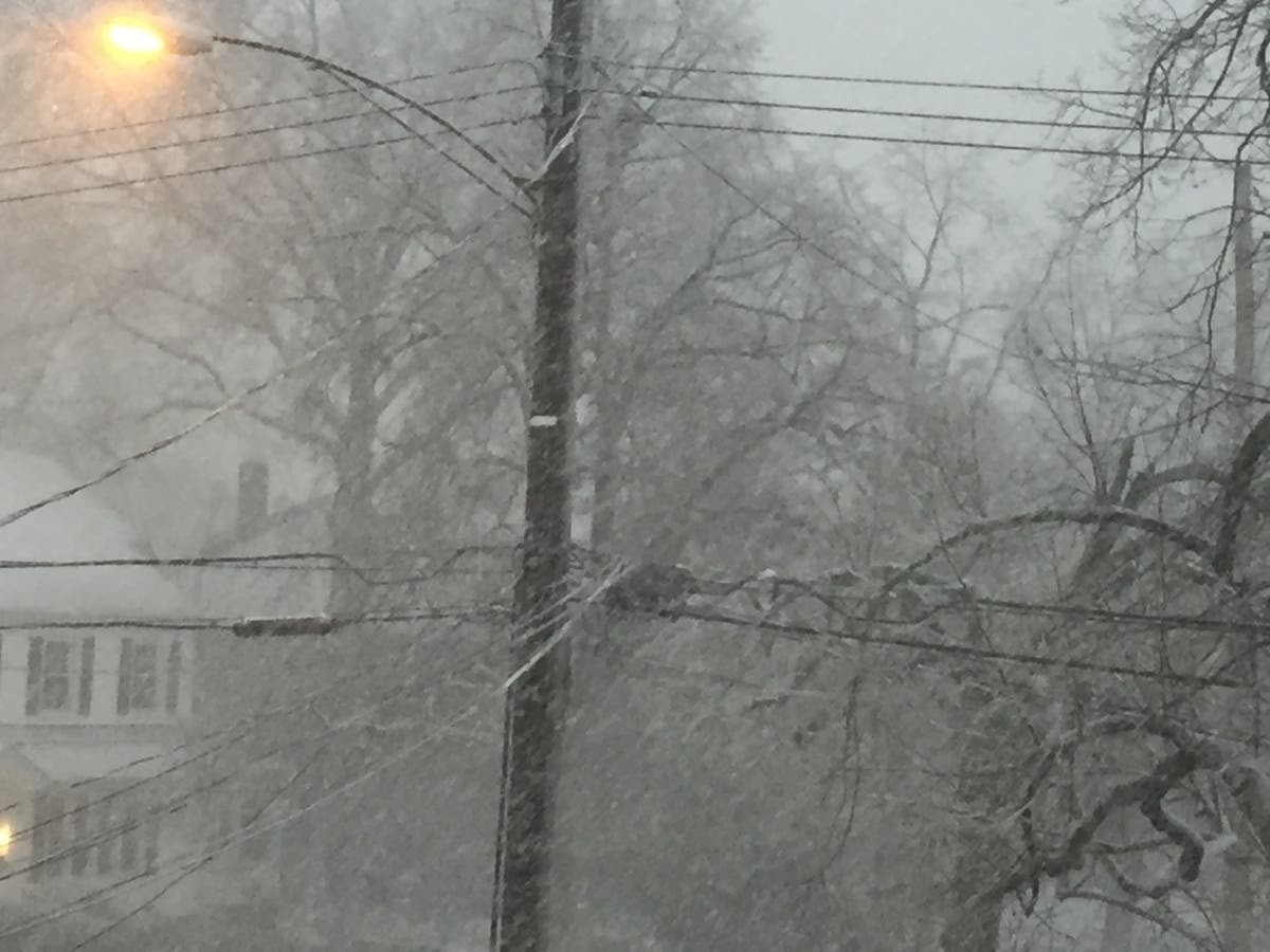
NORTH BRANFORD, CT — Most municipal emergency managers will say that these are among the top tips in advance of a winter storm. And with a whopper headed our way, it's useful to remember these: Stay off roads. Stay indoors. Prepare for power outages. Use generators outside only. Pay attention to emergency information and alert alerts. Look for signs of hypothermia and frostbite. Check on neighbors.
The town and its departments are sharing information about the arctic blast, icy conditions and heavy snowfall.
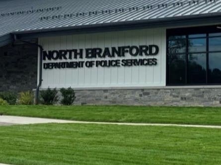
Acting Town Manager Rory Burke said the town's Public Works Department is on standby to begin treating the roads as soon as the storm begins. And, fire and police departments have supplemented their staffing to accommodate the demands of the storm.
Find out what's happening in North Branfordfor free with the latest updates from Patch.
"Winter storm Benjamin is coming! Please watch North Branford Police Department, North Branford Public works, and this page for updates. We're currently forecasted to receive 10-20 inches from Sunday morning through Monday evening, with sleet possible overnight. On Sunday, please stay off the roads as much as possible to give our crews a chance to keep them clear make sure to do any preparation today and tomorrow. Temperatures are supposed to remain very cold throughout next week, so plan accordingly.
Please note that John's Refuse has canceled garbage collection on Monday. Pickups will be delayed one day all of next week. Also, all North Branford Parks & Rec programs are canceled for Sunday and the Stanley T. Williams Community Center is closed.
A temporary parking ban will be in effect from Sunday 1/25/26 at 8 am through Monday evening at 6 pm. Vehicles found in violation may be ticketed and/or towed at the owner’s expense in accordance with Town Code § 220-11.
How to stay safe and prepare
Find out what's happening in North Branfordfor free with the latest updates from Patch.
Temporary Parking Ban
A temporary parking ban will be in effect from Sunday 1/25/26 at 8 am through Monday evening at 6 pm. *****This may be modified depending on how the storm tracks across the east coast. We are providing early warning of the parking ban so residents can make arrangements for vehicles prior to this storm.
This ban is authorized under Town Code § 220-8 to support snow removal operations and ensure safe travel during winter weather conditions.
Vehicles found in violation may be ticketed and/or towed at the owner’s expense in accordance with Town Code § 220-11.
Your cooperation helps the Department of Public Works efficiently clear roadways and maintain public safety and allows for the safest and expeditious service for all of our emergency responders.
Closings/cancellations
Check back for updates
Winter storm do’s and don’t’s
Charge all phones, power banks, tablets, and rechargeable lanterns.
Fill vehicle gas tanks in case stations lose power
Get cash in small bills in case card systems go down.
Pick up prescriptions and essential medications early.
Download movies, books, and maps for offline use.
Identify one warm room in the house to “camp out” if power fails.
Locate water shut-off valve and breaker box now, not later.
Set the fridge and freezer to colder settings to hold temperature longer.
Never run generators or grills inside garages or homes.
Test smoke and carbon-monoxide detectors.
Have at least one flashlight and batteries.
Do not drive unless absolutely necessary. Assume downed lines are live and dangerous.
Bridges, overpasses, and shaded roads freeze first.
Check on neighbors, especially elderly, by phone if possible.
Report outages to utility companies.
About carbon monoxide poisoning
Soundview Family YMCA in Branford offers warming center for all in need
During this period of extreme cold, the Soundview Family YMCA, 628 East Main St., in Branford, is offering a welcoming place for members of your community to stay warm. Anyone who comes in will be able to relax in a safe and welcoming environment, warm up, charge their devices, and take a hot shower.
Community Warming Hours will be available from 10 a.m. to 4 p.m., and we are prepared to accommodate anyone who needs a warm, supportive place during the day.
Forecast as of Friday for southern Connecticut via the National Weather Service
Today: Mostly sunny, with a high near 33. Wind chill values between 20 and 25. West wind 6 to 14 mph.
Tonight: Mostly clear, with a low around 6. Wind chill values between -5 and zero. Northwest wind 8 to 10 mph, with gusts as high as 22 mph.
Saturday: Mostly sunny and cold, with a high near 18. Wind chill values between -10 and zero. Northwest wind 7 to 10 mph.
Saturday Night: A 30 percent chance of snow after 1 a.m. Mostly cloudy, with a low around 9. North wind 3 to 6 mph.
Sunday: Snow. The snow could be heavy at times. High near 25. Northeast wind 5 to 11 mph, with gusts as high as 22 mph. Chance of precipitation is 100%. New snow accumulation of 5 to 9 inches possible.
Sunday Night: Snow. Steady temperature around 22. Chance of precipitation is 100%. New snow accumulation of 3 to 7 inches possible.
Monday: Snow. High near 27. Chance of precipitation is 80%.
Monday Night: A 30 percent chance of snow before 1 a.m. Partly cloudy, with a low around 9.
Tuesday: Mostly sunny, with a high near 22.
Get more local news delivered straight to your inbox. Sign up for free Patch newsletters and alerts.