Community Corner
Projected Snow Totals for Oxford Now in For Saturday
This is shaping up to be Oxford's biggest snowstorm of the year by far.

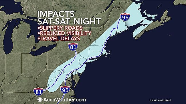
This appears to be by far Oxford’s biggest snowstorm of the year as the National Weather Service has issued a Winter Storm Watch from Saturday morning through Saturday evening.
This snowstorm won’t last long, but it’s predicted to dump between 5-7 inches on the town and a pain-in-the-neck tenth of an inch of ice to make traveling and walking even more treacherous, according to the National Weather Service.
And it’s going to be very windy on Saturday as winds will gust between 10-20 miles per hour and sometimes up to 30 miles per hour. Power outages are possible, cautions the National Weather Service.
Find out what's happening in Oxfordfor free with the latest updates from Patch.
Snow will break out in Oxford early in the morning on Saturday and the heaviest snow will fall from Saturday morning and into the afternoon.
If you blink, you’ll almost miss it, as the snow winds down quickly Saturday evening.
Find out what's happening in Oxfordfor free with the latest updates from Patch.
Sunday will be a seasonal 34 degrees with sunny skies in Oxford, but there is a 50 percent chance of snow on Monday in Oxford, just in time for the work and school week.
We will continue to provide updates on this weekend’s snowstorm.
Stay on top of Patch’s local coverage of Oxford by subscribing to the daily Oxford Patch newsletter.
Photo credit: Accuweather.com
Other stories:
Get more local news delivered straight to your inbox. Sign up for free Patch newsletters and alerts.