Community Corner
Oxford's Weekday Forecast Includes Spring-Like Temps and Some Rain
We're almost nearing 70 degrees this week and the weekend forecast looks great as of right now.

After another gorgeous albeit slightly chilly weekend, especially first thing in the morning, it’s back to work and school for most of us.
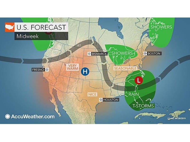
Today’s weather will be ok, showers are expected by mid-afternoon, and could last into the evening hours, but Tuesday, Wednesday, and Thursday look like amazing spring days.
Nothing but bright sunshine and temps in the low to mid 60s, and on Wednesday temps could reach into the high 60s.
Find out what's happening in Oxfordfor free with the latest updates from Patch.
But by Thursday night and lasting into Friday, we could be dealing with rain, but right on cue for the weekend, it looks like it’s back to sunshine and mid 60s.
All in all not bad.
Find out what's happening in Oxfordfor free with the latest updates from Patch.
Here is the National Weather Service’s latest hyperlocal forecast for Oxford.
Today, Isolated showers after noon. Cloudy, with a high near 57. Northwest wind 10 to 13 mph. Chance of precipitation is 20%.
Tonight, Mostly cloudy, with a low around 41. Northwest wind 9 to 11 mph.
Tuesday, Mostly sunny, with a high near 61. North wind around 14 mph.
Tuesday Night, Mostly clear, with a low around 41. Northwest wind 5 to 9 mph.
Wednesday, Sunny, with a high near 67. Northwest wind 6 to 9 mph.
Wednesday Night, Partly cloudy, with a low around 43.
Thursday, Partly sunny, with a high near 63.
Thursday Night, A chance of rain. Mostly cloudy, with a low around 42. Chance of precipitation is 30%.
Friday, A chance of rain. Mostly cloudy, with a high near 59. Chance of precipitation is 40%.
Friday Night, A chance of rain. Mostly cloudy, with a low around 42. Chance of precipitation is 30%.
Get more local news delivered straight to your inbox. Sign up for free Patch newsletters and alerts.