Traffic & Transit
Get to Know Your State Roads In North-Central Connecticut
An informative series on Patch providing facts and figures on some of the state roads winding through northern and central Connecticut.

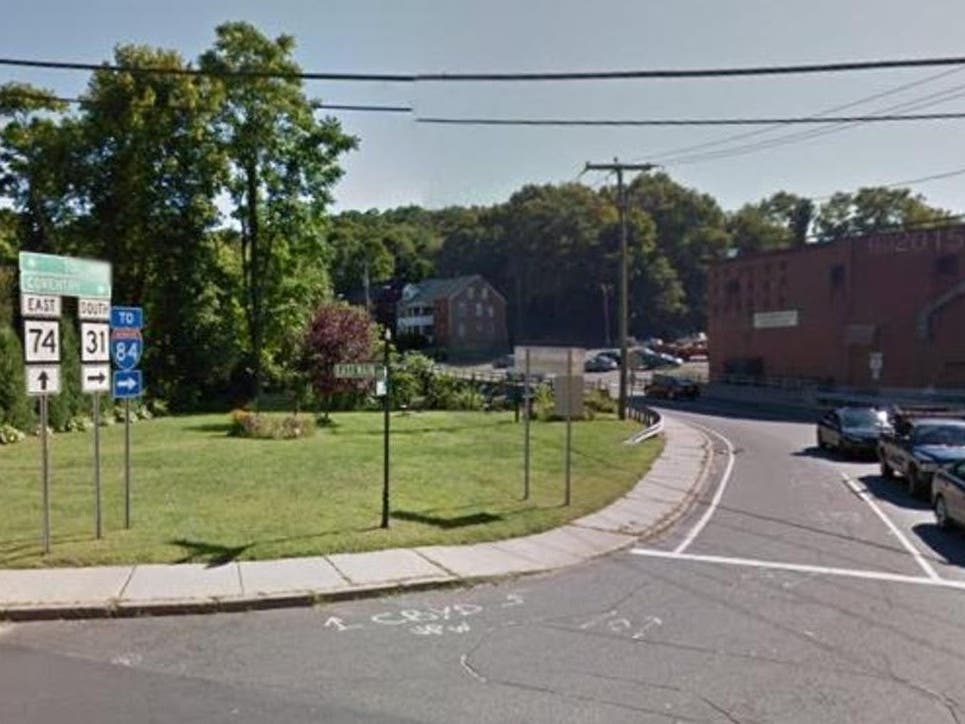
The latest installment of our new periodic series on Patch sites in north-central Connecticut, providing facts and figures about some of the state roads which wind through the area, features Route 31, which begins at Route 74 in Vernon and ends at Route 32 in Mansfield.
- Designated: 1942
- Length: 14.34 miles
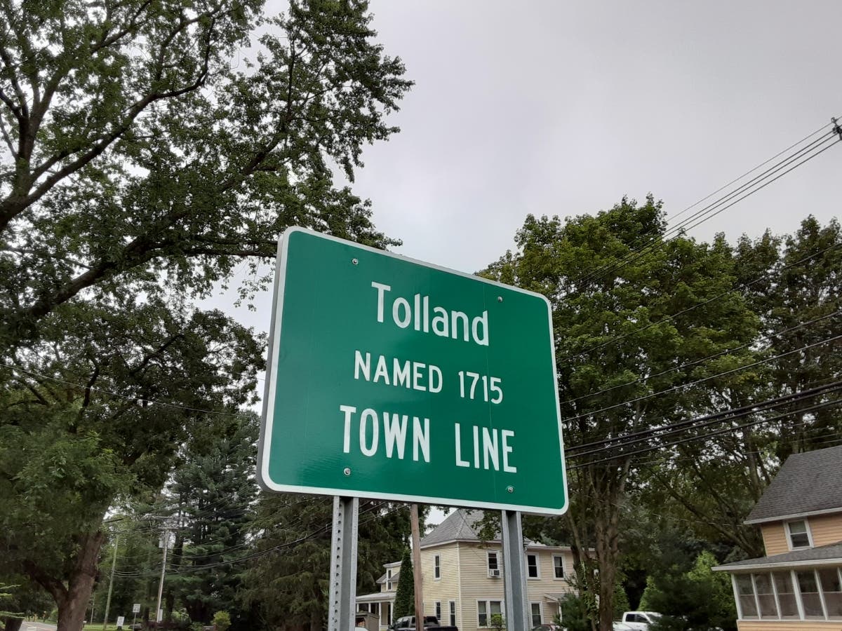
- Towns: Vernon, Tolland, Coventry, Mansfield
- Other names: Grove St., Reservoir Rd., Mile Hill Rd. (Vernon); Bread & Milk St. (Tolland); Boston Tpk., Main St. (Coventry); Higgins Hwy. (Mansfield)
- Junctions: Vernon - Route 74, Route 30, I-84; Coventry - Route 44, Route 275; Mansfield - Route 32
- Landmarks: Amerbelle Canal, McDonald's, Burger King (Vernon); Babcock Tavern (Tolland); Twin Hills Country Club, Highland Park Market, Dimitri's Pizza, Coventry Lake, Coventry High School, Captain Nathan Hale Middle School, Coventry Fire Department, Coventry Town Hall, Coventry Police Department, Bidwell Tavern, Booth & Dimock Memorial Library, Miller Richardson Athletic Field, Willimantic River (Coventry); Coyote Flaco, Perkins Corner (Mansfield)

The Bidwell Tavern in Coventry. (Tim Jensen/Patch Media Corp.)
The historic Babcock Tavern in Tolland. (realtor.com)
Find out what's happening in Tollandfor free with the latest updates from Patch.

Find out what's happening in Tollandfor free with the latest updates from Patch.
Get more local news delivered straight to your inbox. Sign up for free Patch newsletters and alerts.