Schools
Snow Dumps on Vernon School Vacation Schedule
With one day already trimmed in April, officials hoping the latest storm is a bust.

The weather alert from Homeland Security and emergency management officials puts the area in between the 4 and 8 inches of snow forecasts.
Superintendent of Schools March Conway says she'll take the low end, thank you very much.
"Whatever happens, it is supposed to end Sunday, so we should be OK to report to school on Monday," she said.
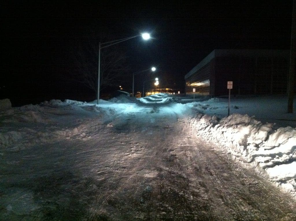
So far, the Elementary schools have had seven weather days and the high and middle schools eight.
That has forced school officials to take Friday, April 19 out of that week's vacation schedule for high school and middle school students. The approved Board of Education calendar stipulates that any makeup days beyond eight will begin with April 19, working backward.
Here is the forecast from area Homeland Security and emergency management officials:
A storm system moves to the Northeast on Saturday towards Nantucket Saturday Night. As this storm moves up the East Coast a large area of rain and snow is expected to impact New England Saturday afternoon, Saturday night and into the day on Sunday. Heavy wet snow is expected across interior Southern New England, however the amount of wet snow is very likely to be dependent on elevation.
The following forecast is based on a blend of the GFS and NAM computer models.
Saturday Afternoon - Light snow spreading into the State from the Southwest between Noon and 3 p.m. A rain / snow line is expected to move into Southwestern CT by 4 p.m. and then move to the northeast and into the Middletown area by 6 p.m. A few inches of wet snow is expected before the changeover with highs in the low to mid 30s.
Saturday Evening - The rain / snow line is forecast to continue moving inland reaching the Hartford area by 8 p.m. Snowfall before the changeover is expected to range from 1 to 3 inches. The rain / snow line is expected to move north to the MA border by 10 p.m.
Saturday Night - Rain across most of the state early with wet snow above 1,000 feet in Northern CT. The rain / snow line is then forecast to move back down across the state between 2 a.m. and 7 a.m. Sunday morning. Towns should expect the potential for a burst of heavy wet snow after the changeover with several inches of wet snow possible especially in the higher elevations of northern CT.
Sunday Morning - Wet snow tapering off from West to East between 9:00 – 11 a.m. Total accumulations are currently expected to range from 1 to 2 inches in Southern CT, 2 to 4 inches in Central CT and 4 to 8 inches in Northern CT. However forecast confidence is low at this time because any slight change in the track or intensity of this storm could result in a significant change in the snowfall forecast. Also, because temperatures are expected to hover around 32 F for most of the storm event, accumulations will likely be greatest on the existing snowpack and much less on roadways.
Impacts: The impact on travel is expected to be minor in Southern CT and Moderate in Northern CT Saturday night with some slush cover on roads and potentially snow cover on higher elevation roads in Northern CT. Scattered power outages are possible resulting from the heavy wet snow in the higher elevations of Northern CT. Minor coastal flooding is also possible Saturday evening along the coast of Western Long Island Sound.
Emergency Management Director Michael Purcaro said local officials are monitoring the storm.
Get more local news delivered straight to your inbox. Sign up for free Patch newsletters and alerts.