Weather
Blizzard Warning In Effect For West Hartford: Here's What To Expect
Here's a detailed look at what to expect on this snowy, windy day.

The National Weather Service issued a blizzard warning for West Hartford on Tuesday, as well as a hazardous weather outlook.
Here we can expect heavy snow with blizzard conditions, along with snow accumulation of 12 to 18 inches, along with around a tenth of an inch of ice.
Northeast 15 to 25 mph with gusts up to 55 mph. To sign up for West Hartford breaking news alerts and more, click here.
Find out what's happening in West Hartfordfor free with the latest updates from Patch.
Here's your detailed forecast via the National Weather Service:
Today: Snow and sleet before 5pm, then freezing rain and sleet. The snow and sleet could be heavy at times. Areas of blowing snow. Patchy fog after 2pm. Areas of dense freezing fog before 2pm. High near 31. Blustery, with a northeast wind 16 to 21 mph, with gusts as high as 39 mph. Chance of precipitation is 100%. Total daytime snow and sleet accumulation of 10 to 14 inches possible.
Find out what's happening in West Hartfordfor free with the latest updates from Patch.
Tonight: Snow showers and sleet before 9pm, then a chance of snow showers between 9pm and 2am. Patchy fog before 8pm. Low around 20. Blustery, with a west wind 17 to 22 mph decreasing to 10 to 15 mph after midnight. Chance of precipitation is 80%. New snow and sleet accumulation of 1 to 2 inches possible.
Wednesday: A slight chance of snow showers after 10am. Mostly cloudy, with a high near 28. West wind around 10 mph, with gusts as high as 22 mph. Chance of precipitation is 20%.
Wednesday Night: Mostly cloudy, with a low around 17. West wind 7 to 10 mph, with gusts as high as 24 mph.
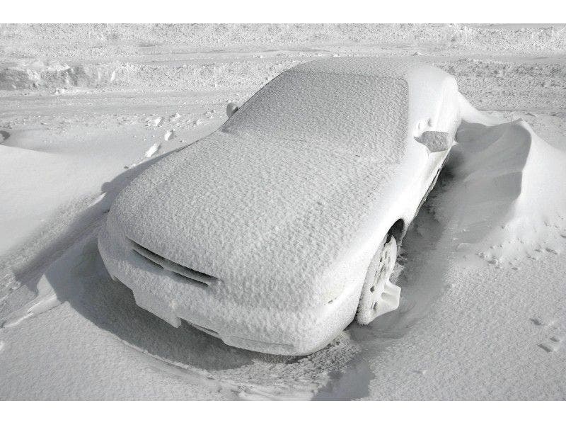
Patch file photo.
Get more local news delivered straight to your inbox. Sign up for free Patch newsletters and alerts.