Home & Garden
Hazardous Weather Outlook Issued for West Hartford
We'll let you know the latest on how much snow is now expected to fall in the area.

A “Hazardous Weather Outlook” is still in effect for Hartford and Tolland counties for Saturday but it looks likely that whatever snow the state receives will likely be a southern Connecticut event.
That’s not to say Hartford and Tolland counties won’t see any snow, but that area is looking at a 1-3 inch snowfall, which for the region is very, very modest.
Here is the latest information via the National Weather Service:
Find out what's happening in West Hartfordfor free with the latest updates from Patch.
“There is also a risk for heavy snow across the region,” the weather service writes, but adds the greatest threat for heavy snow is over Rhode Island and southeastern Massachusetts.
Here is West Hartford’s latest hyperlocal forecast:
Find out what's happening in West Hartfordfor free with the latest updates from Patch.
- Saturday: A chance of snow. Cloudy, with a high near 28. Northeast wind 7 to 13 mph, with gusts as high as 38 mph. Chance of precipitation is 50%. New snow accumulation of around an inch possible.
- Saturday Night: A chance of snow, mainly before 4am. Mostly cloudy, with a low around 21. North wind 11 to 13 mph, with gusts as high as 32 mph. Chance of precipitation is 50%. New snow accumulation of around an inch possible.
- Sunday: Mostly sunny, with a high near 36. North wind 7 to 9 mph, with gusts as high as 21 mph.
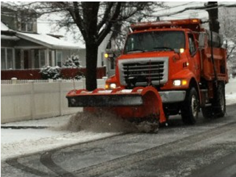
Photo credit: Barbara Heins
Get more local news delivered straight to your inbox. Sign up for free Patch newsletters and alerts.